

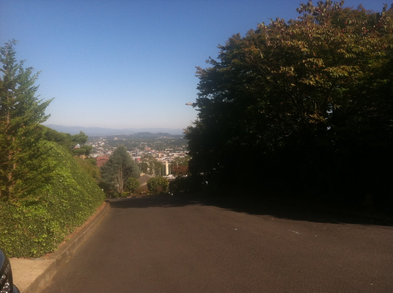
Byrnwood Lane
“I don’t think I can even walk up”
 |
| Jean walking the last bit of Byrnwood |
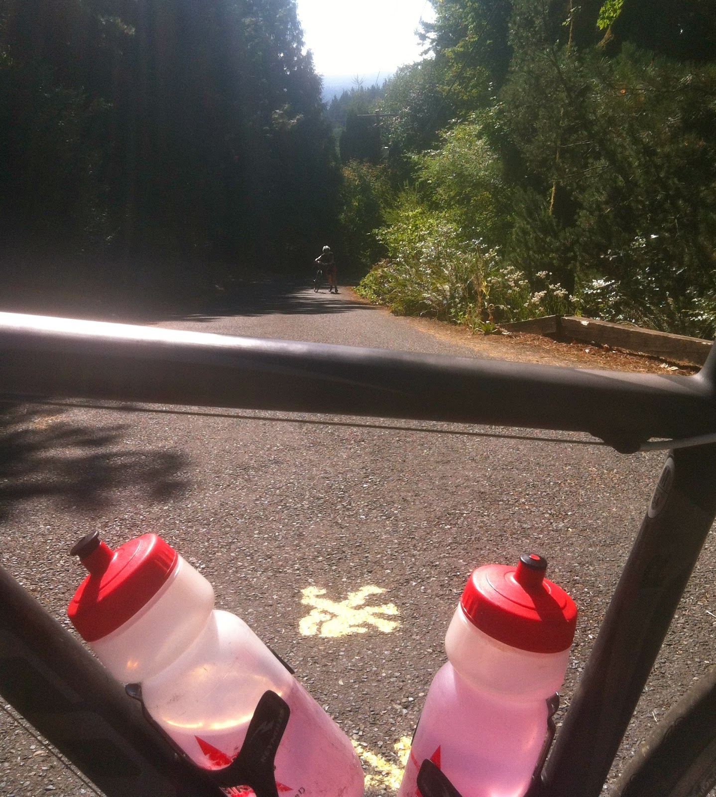
That’s what I heard as I looked back down the hill from my vantage point, a welcomed sanctuary of level ground in a driveway about halfway up the second pitch of Byrnwood Lane. I was annoyed that I actually had to pull into this flat oasis, but once I had, the thought of stopping seemed trivial, Just moments earlier I was barely turning the pedals and my breathing was out of control. As I rolled into the driveway I swung the bike around, unclipped one foot and stopped. Ahhh!!
I saw Jean had rounded the bend and was well into the second pitch. She’d just unclipped and was dangling precariously close to tumbling backward, cursing under her breath I’m sure. And saying she didn’t think she could walk up. My response was less than sympathetic as I first asked “are you alright?”, which she replied, “I can’t turn the pedals and I don’t think I can even walk up”. I followed up with “yes you can and we have no choice” as I pushed off to finish the climb. 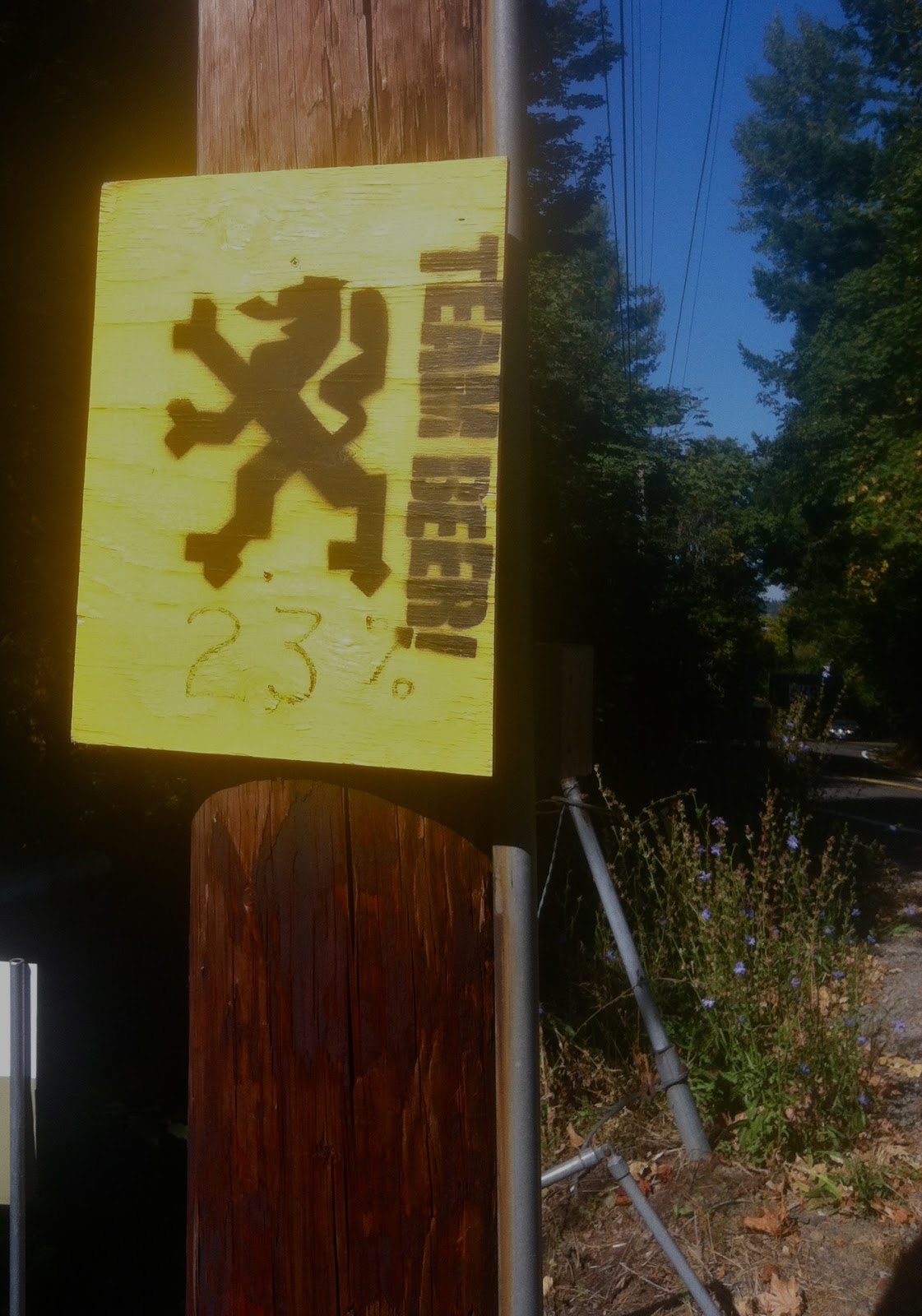 I soon found myself literally riding from one driveway to the next, each time getting just a moment of respite as I pushed back into the sometimes 30% grade. I rounded the second corner as the road veered left this time. No more outs, I have to make the top now. The sign with the Flanders Lion read TEAM BEER 23%. We later learned that this 0.3 mile stretch of road registers average 20.8% on Strava, rising 308′ with pitches as steep as 35%. I don’t know the overall accuracy of these measurements, but I can say I don’t recall being in that state of bother in a very long time. Tougher than a recent cycling trip in the Sierras, but a different kind of tough. The 39/28 gearing left me leaning over the bars, basically rest stepping, barely able to turn the crank with the front wheel wanting to come up with each pedal stroke. Jean arrived at the top a couple minutes later. She had walked to the spot I had first stopped and continued riding in similar fashion as I had, leap frogging driveways. She ended up walking the last section from the corner where there were no more flat spots for relief.
About The Ronde and One More Item Off The Bucket List
Steep Hill Ride seems an appropriate name for a route honoring one of the major pro spring classics – The Tour of Flanders. Byrnwood Lane comes early in the ride and I found it to be the most severe. The second steep pitch, College Street, just didn’t seem nearly as bad. This is not to say the rest of the climbs aren’t taxing, they are, and certainly won’t disappoint.
I first heard of the Ronde PDX through racing teammate Andy Rosser (Rosser Chiropractic) when he send out a video link a couple years back. Ever since then it’s been on my list of to dos. The youtube video is nearly 10 minutes long and focuses on the 2 steepest climbs, in the rain. You can also check out OregonLive and www.rondepdx.com for more information.
The Route

Route finding on the Ronde is a bit challenging to say the least. Jean and I rode it alone, or rather we were not riding the official “unofficial” ride that occurs each spring. To help with navigation I downloaded the course from ridewithgps.com. I literally tested the course feature on my Garmin Edge 800 the day before to see how it worked. Functionally it seemed fine. The route starts in the NW Portland Industrial area and ends up at Council Crest. In order to make a loop ride we parked downtown near the REI store ($3.00 for all day!!). I had studied the route and felt I knew how to get to the start, so I selected the route and we started pedaling.
The garmin directions seemed odd, but that was okay, because we were navigating one way streets, trolley crossings and such. It seemed to be taking us in the right direction each time it recalculated because I missed a turn or decided to go a different way. A little tidbit on the garmin and its courses feature. It will navigate you to the course and on the course, but will not get you back on course if lost in the middle. At one point the garmin wanted us to turn down a road that was actually a set of railroad tracks. Needless to say, we continued to the next left. Ultimately we missed the start area and I took us to German Town Road based on my knowledge of the area. Remember when I said I studied the route. Well, I guess I didn’t pay very close attention, because German Town road is not part of the actual route. The good news is that it’s a great climb and it takes you to Skyline Drive the same as Saltsman, so it’s not completely a bad thing. German town road is a nice 2.5 mile 7.5% climb, it’s not like cheating.
Note to Self – Rename Courses to Something Recognizable!
It was at the top of Skyline when I realized I’d selected the route from Friday in Olympia. The garmin was trying to navigate us home. Whoops! After eating some pride and asking some other cyclists about the route, I finally got the correct route selected and then after riding down Skyline a bit, the garmin found the route. Yes! Now we are on track. Whew!! Since we ended up missing Saltsman Road, a redo is in order for some point in the future.
The Hardest Part is Trusting
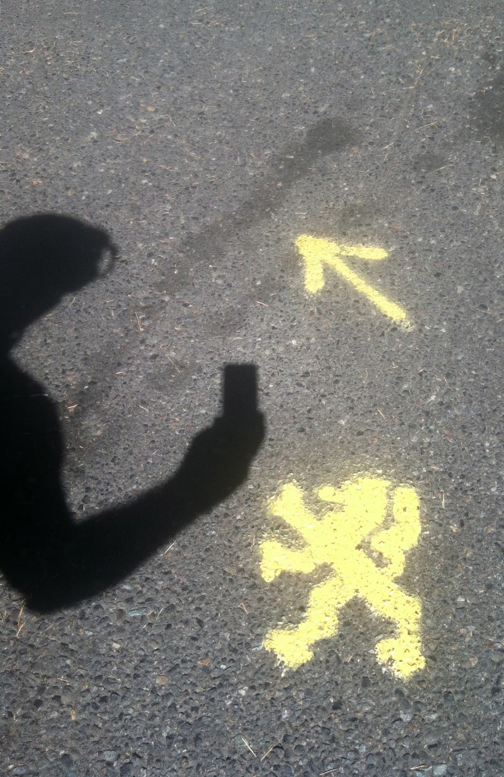
Without the garmin, I don’t think it’s possible to navigate this route unless part of the organized ride. Some of the Lion dan/henry’s are missing or severely faded and occasionally, as we learned, it’s just a yellow line marking the direction. As previously mentioned, one drawback of the garmin is that if you run off course that’s all you know. The garmin reads “off course”, but does not navigate you back on course. This you have to figure out on your own.
We occasionally had to do a little looping around in a few spots, such as when we were descending Burnside Road and as we neared downtown the garmin suddenly read, off course take trail on right. What?! And there it was, a trail. We took the trail and found the lion at the top of the trail 1/2 mile later. The day was full of this sort of adventure.
Unique sites
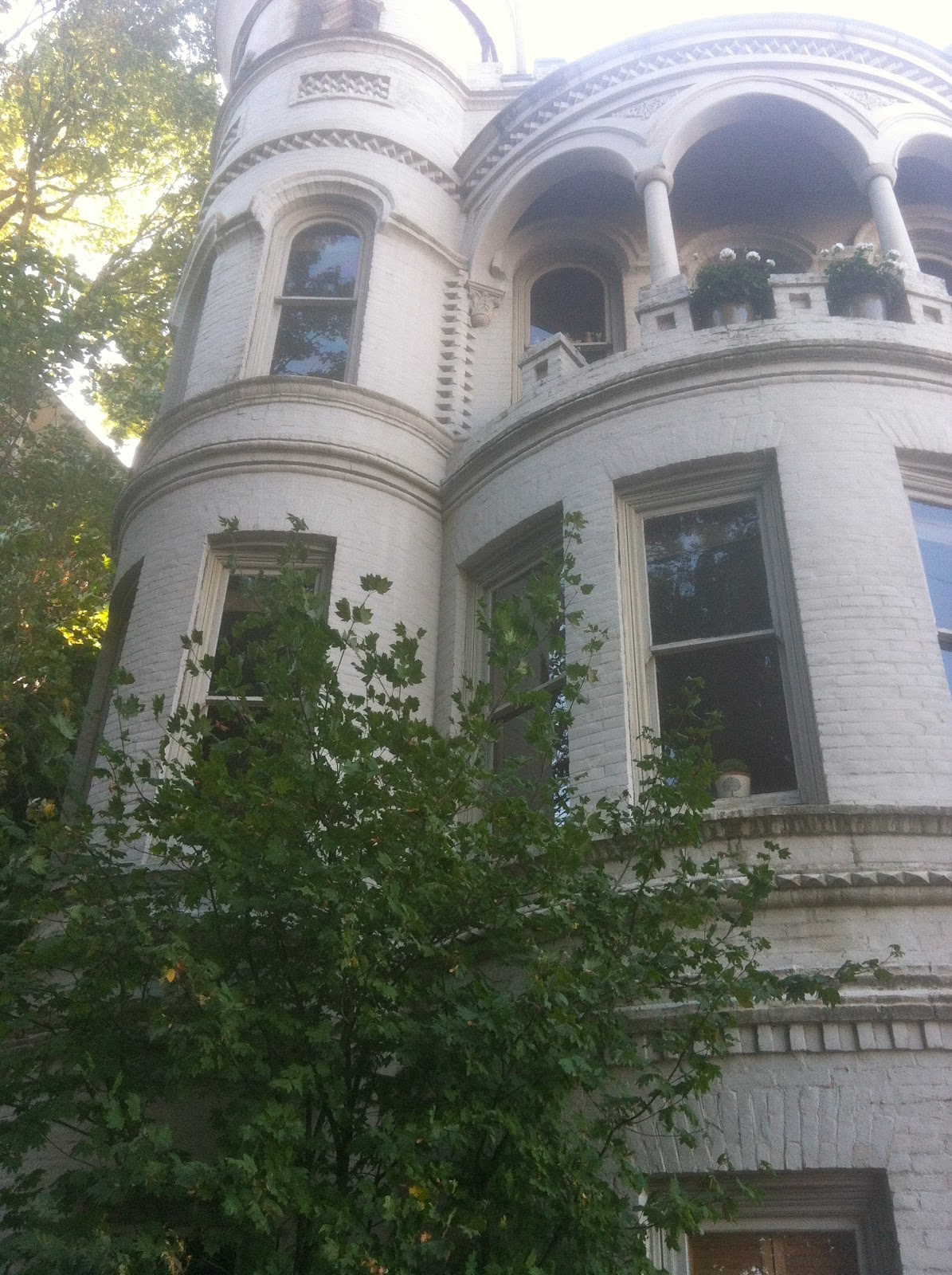 |
| Great Architecture |
It’s a uniquely scenic and beautiful route, which took us past gorgeous homes, a hospital the size of a small town and oncoming long-boarders (downhill skateboarders with knee pads and protective metal gloves) who nearly bowled us down like bowling pins in an alley. We had just resumed our route (after being off course again) when whoosh, whoosh… these long-boarders are careening down the road in traffic and using the weaving/skidding technique to control speed and stop. One ended up mildly wiping out when he couldn’t get under control. Fortunately his antics were more reminiscent of a gutter ball and not a strike. My heart begins to race just thinking about it again. I recalled yelling, “do not take me out”. Yeah, like that really helped 🙂
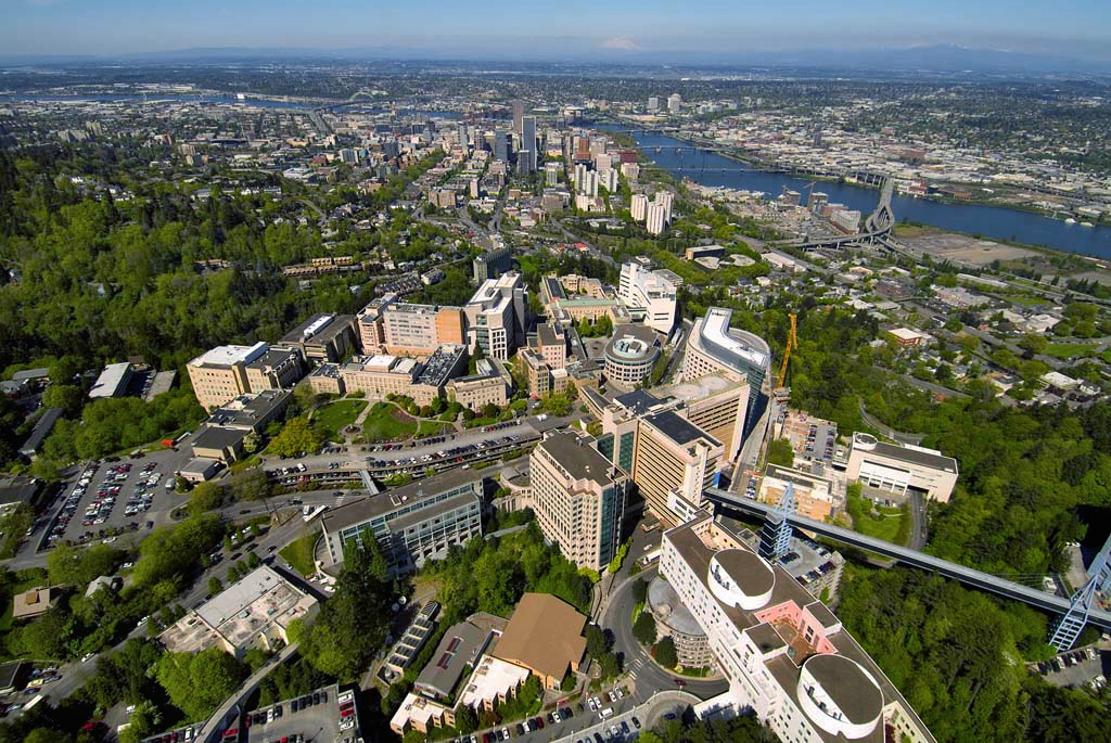 |
| Oregon Health and Science University |
Challenging Features
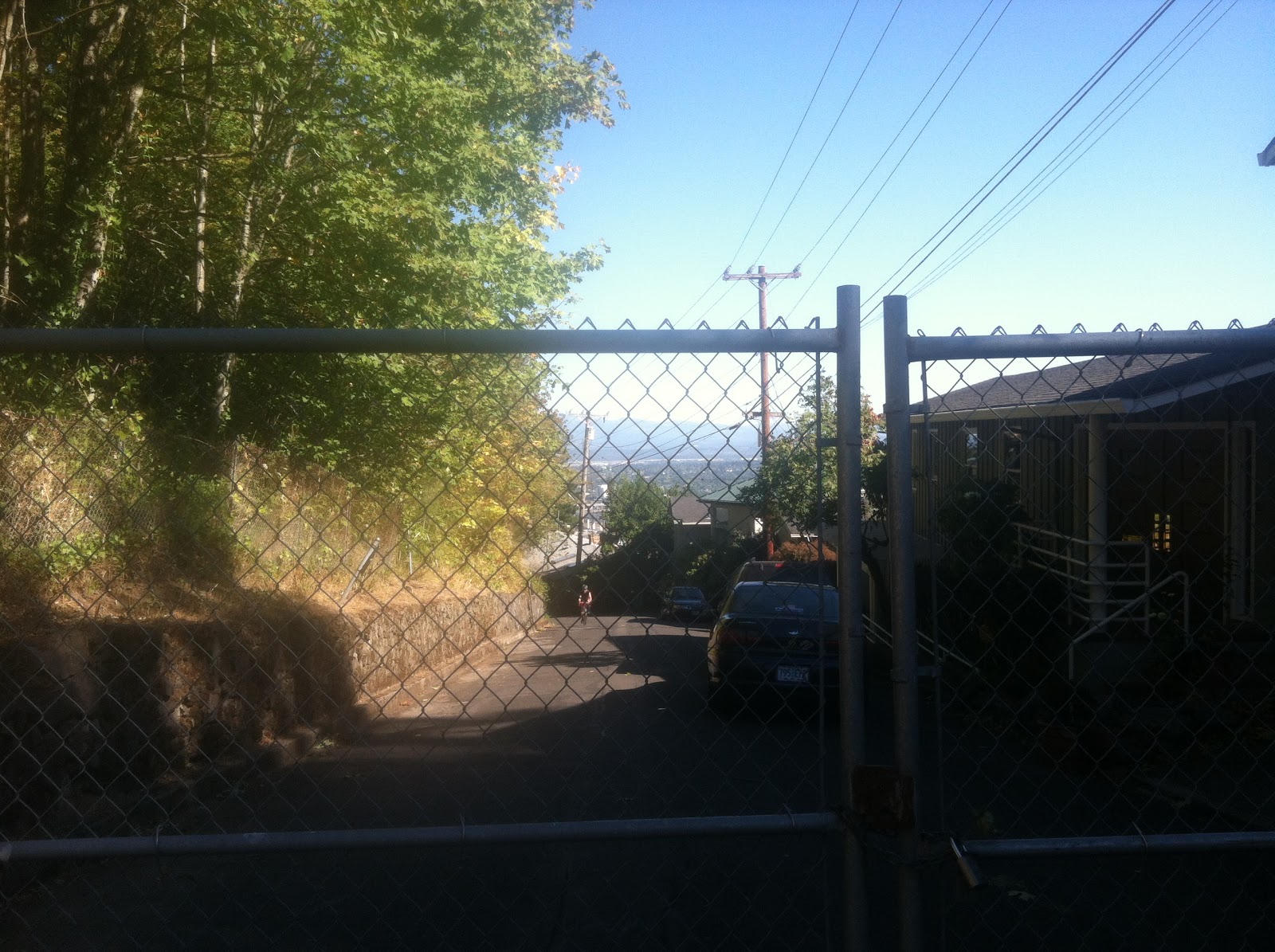 |
| Jean approaches a park gate at the end of neighborhood road |
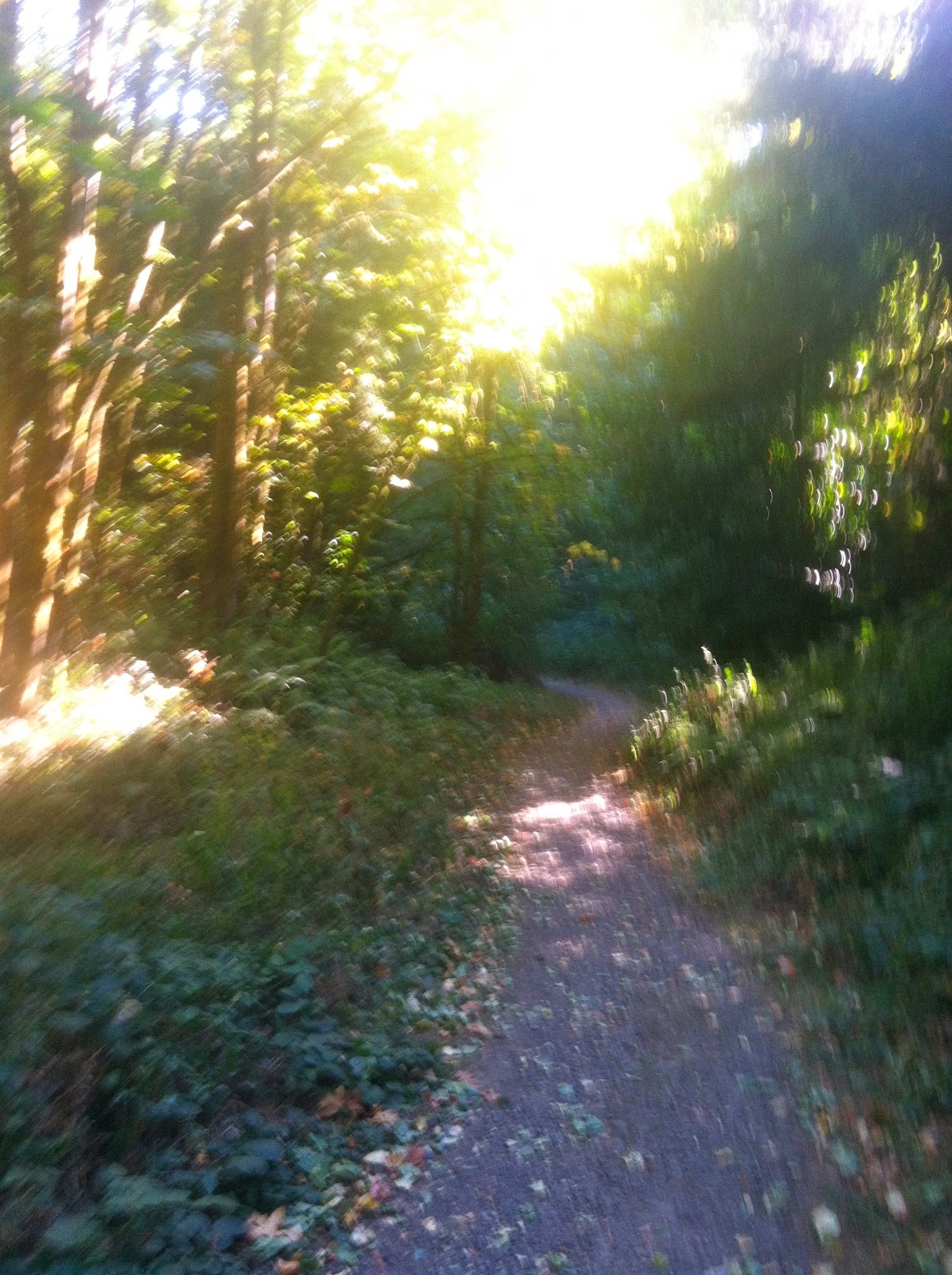
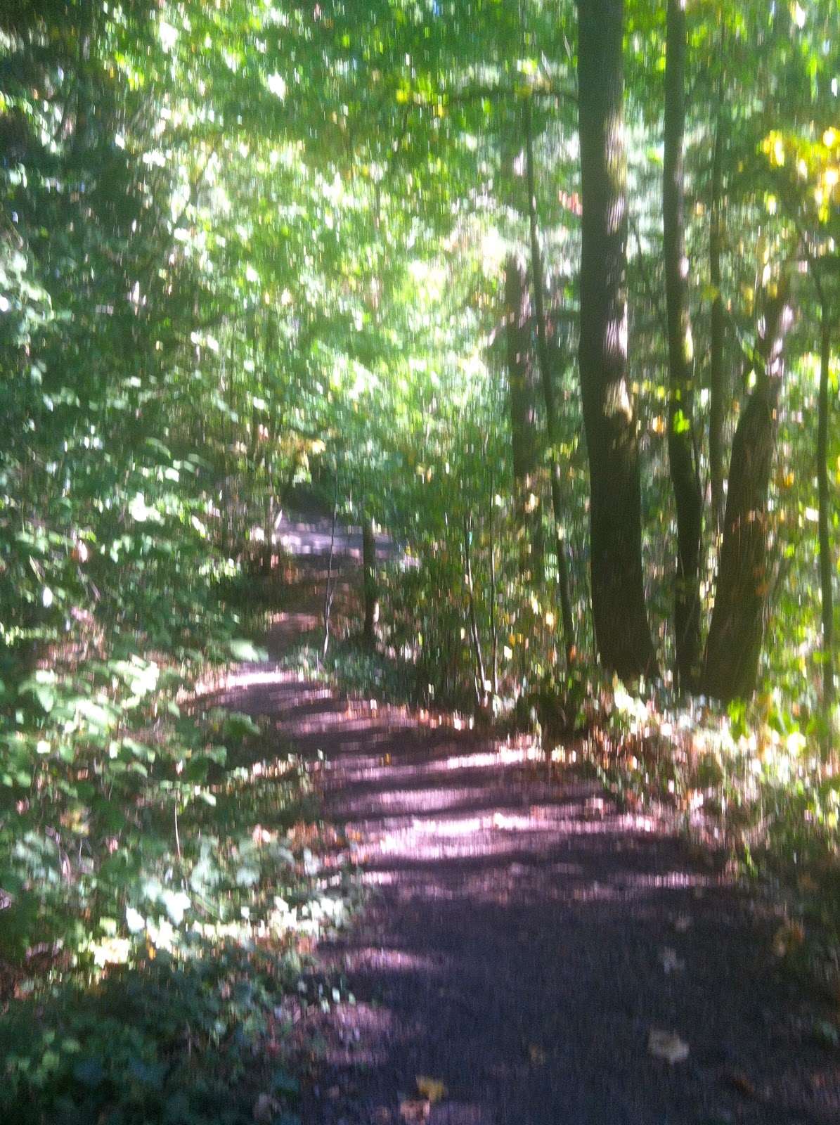
I’ve already mentioned the major features – the climbs. But there are also the gravel trails, both going uphill and down. Some require walking, others very ridable. I think all are ridable with the right skills. It was mentally challenging riding up or down a road, which was posted ‘no outlet’ or ‘dead end’. And each time I thought, this is it, we’re off route, only to find some random trail in between homes, a fence with enough room for a bike, or in one case, the trail seemed part of the garden landscape.
Miles and Elevation
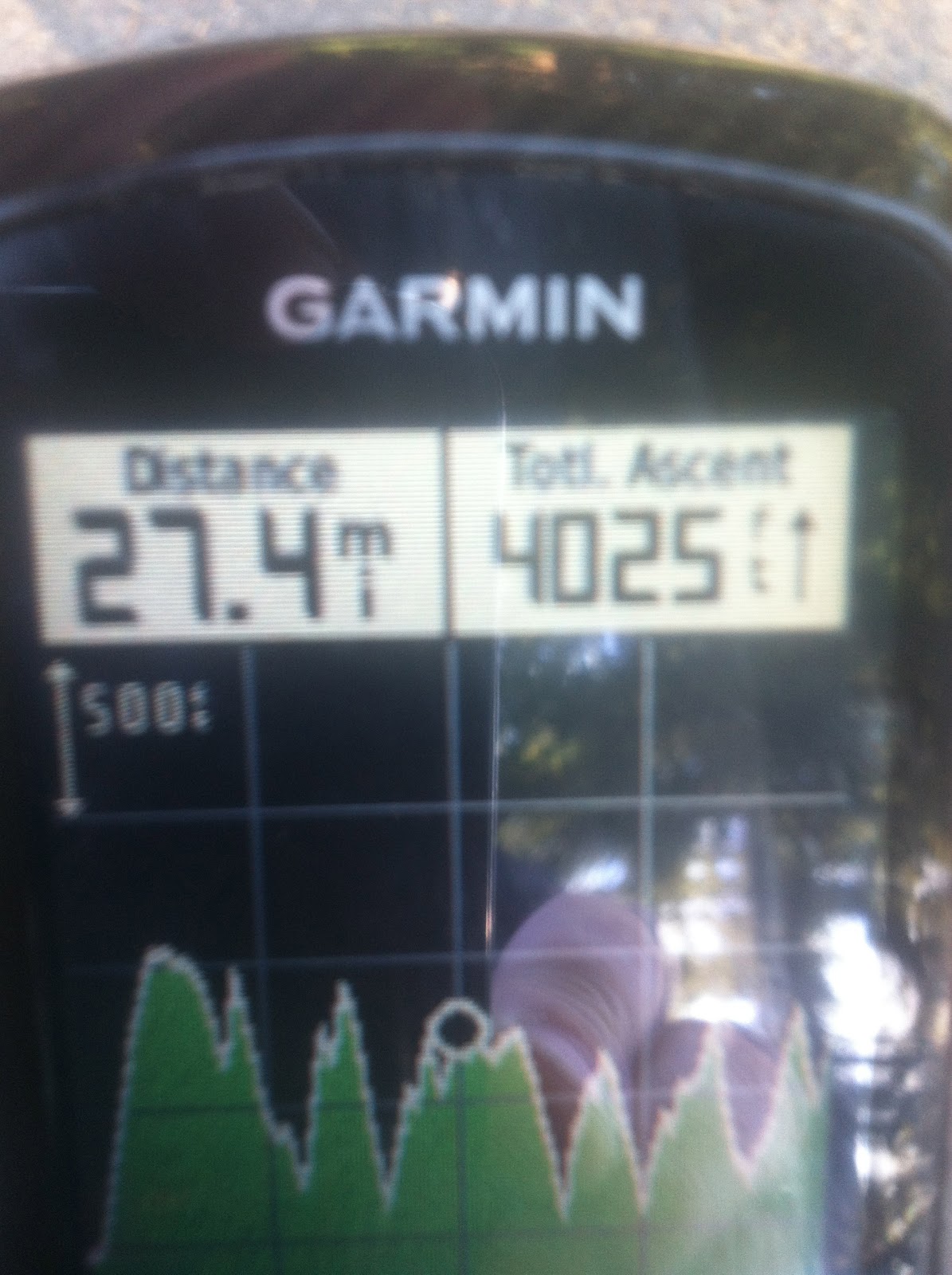
According to information on Oregon Live and the PDX website, the route is about 46 miles and boasts 7,200 feet of climbing. At mile 27 we had recorded 4,000. However, our first 8.5 miles were flat. so technically, we had ridden 4,000 in 19.
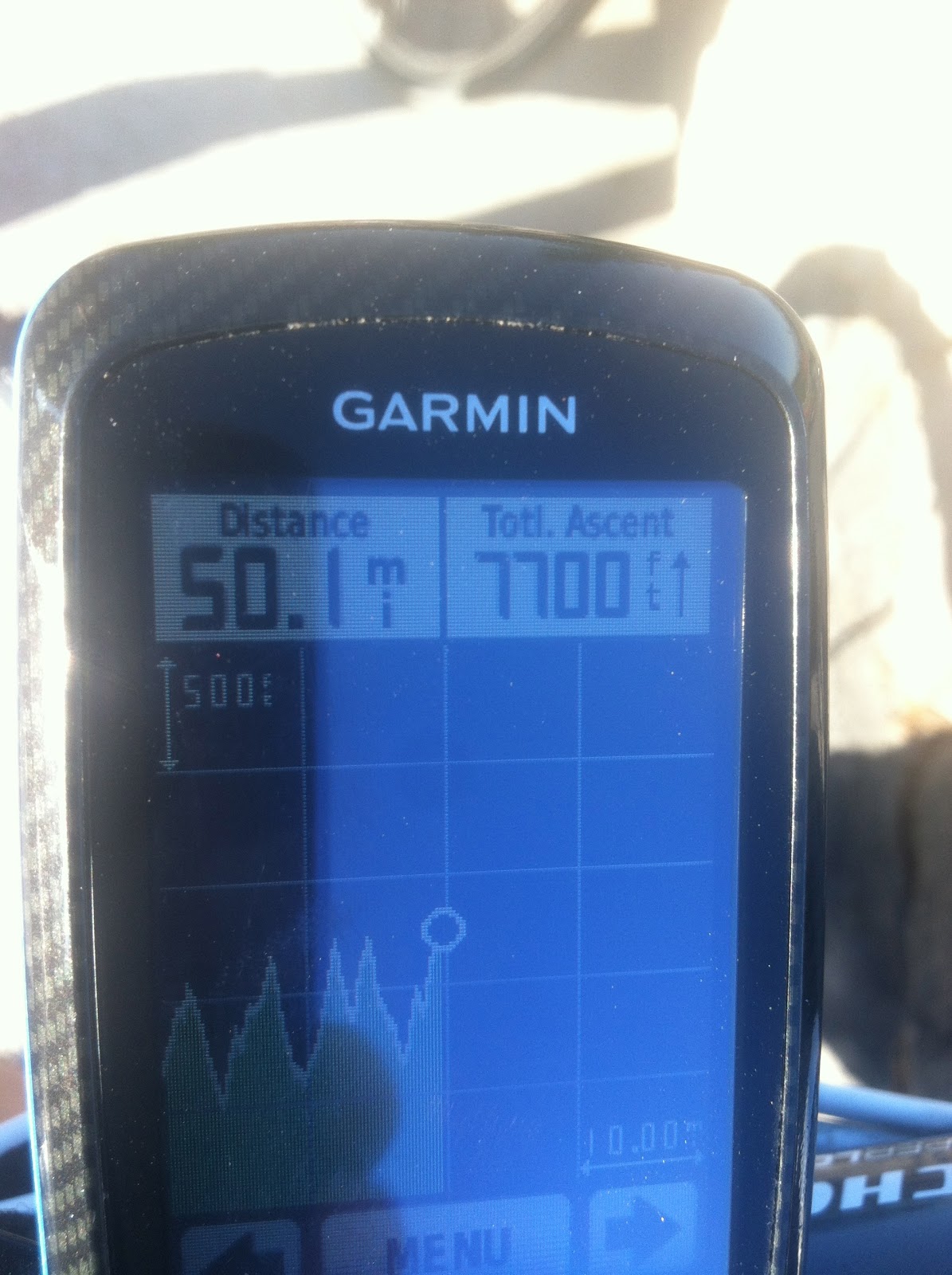
The finally tally was 50 miles at Council Crest with 7,700 feet. After downloading the route, Strava showed 7,500 and Garmin Connect with elevation corruption put it at 7,286.
Overall, our total mileage back at the car was 55 miles. Not a bad day in all.
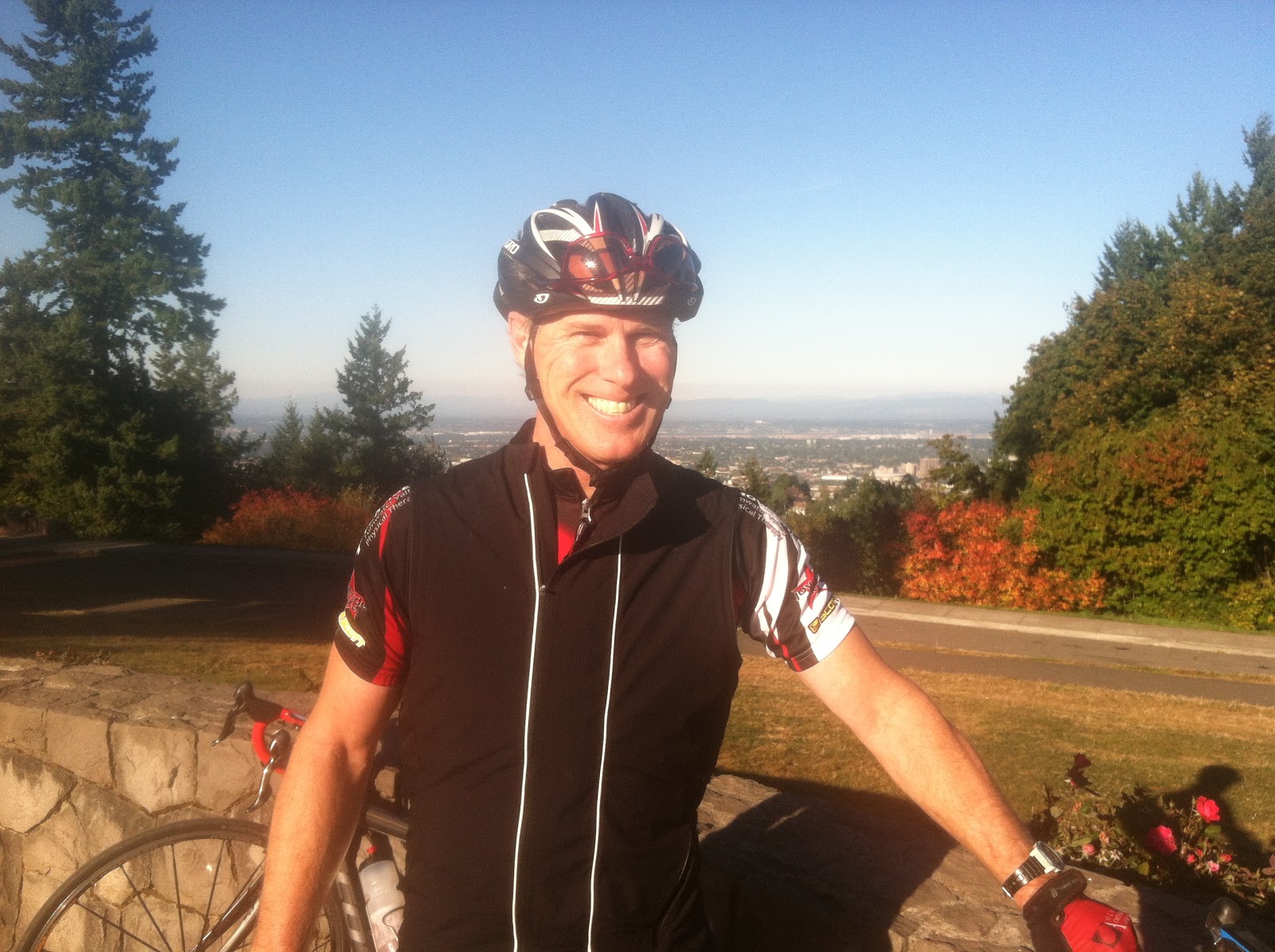 |
| Me |
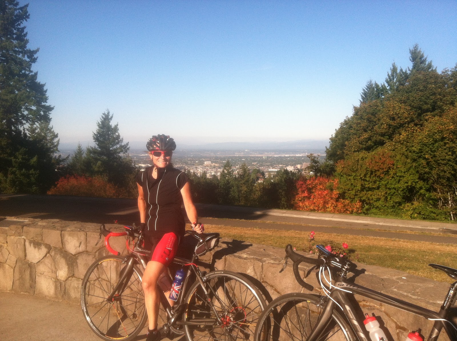 |
| Jean |
One final note on the ride. I’m the type of cyclist who’s willing to suffer while climbing for the reward of descending. This particular route doesn’t provide much opportunity to fully enjoy descending. There were just a couple times I could get descent speed and let it run out. Unfamiliar narrow twisty roads can get a bit sketchy at speed and then there is the whole watching for turns and route finding.
 |
| One of the Vistas |


Great write up! Have you done La Doyenne yet? http://ridewithgps.com/ambassador_routes/210-la-doyenne-de-ronde-van-oost-portlandia
LikeLike
Thank you! No, I have not ridden La Doyenne. Looks like a must do! Cheers!
LikeLike
By the way. Is it next weekend? April 18/19? I so want to do this ride with the crowd.
LikeLike
That is correct- Spread the word!
LikeLike