

Still no easy steps, but we found the summit!
September 24, 2024
Sometimes one makes a summit attempt and comes away foiled by weather, route-finding or any number of variables. And in most of those instances we accept fate, and plan to give it a go some other day, then move onto the next objective. But there are those times when the failed attempt becomes a dominant thought – unable to shake the insatiable desire for success. Obviously that can be a dangerous process. It could lead one to trying to summit at all costs. That’s never a good idea.
Our first attempt at Mt Lincoln came up miserably short, meaning we could not find the final 200 vertical feet or so up the summit block. All on what turned out to be a nearly 16 hour day. That attempt can be found here, and I recommend reading it first, because it sets the stage for this story.
I just could not shake thinking about Mount Lincoln. Oh so close, yet so far! But I also didn’t want to suffer on that ascent again, and with days growing shorter, and some wetness, it was looking like next year. But, there was a weather window. I talked to Lon about taking the old climbers path up and down. the guy that summited the day we tried used it both ways with success. Though he nothing good to say about it. But Lon had tried it once before and gave up due to extreme blowdown and bushwhacking. He eventually convinced me to go “his way”. At the end of the day, we agreed that his previous forest route up just past Slate Creek was the best and most direct route. And he promised we’d start on the correct ridge this time and it would be open forest. The key was hitting it with enough light to see where to turn, instead of trying to find it in the pitch black.
While we started in the dark, it wasn’t long before it was light enough to see. So with that we found the right spot to leave the trail, took the ridge up to the obvious gully, and found the high ridge of the southern sawtooths. From here we went directly to SW Lincoln, which is a 9 on the spice 🌶️ scale if you want to touch the top.
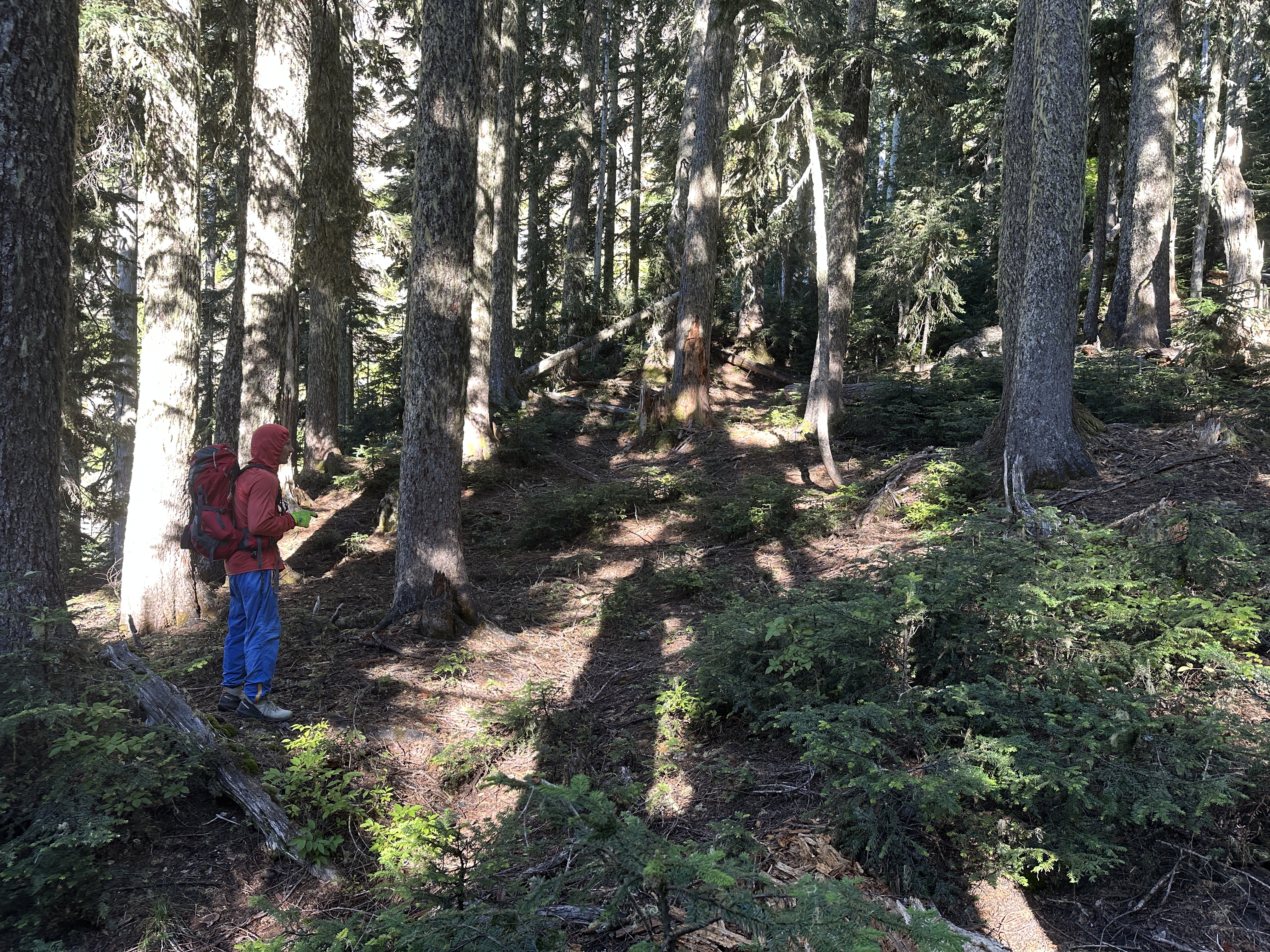
We had set off at 6:33AM. We used headlamps for just a short time. From the upper Staircase parking lot take the trail past Slate Creek to the big tree on right,then turn right. The route should present itself. Just go UP.

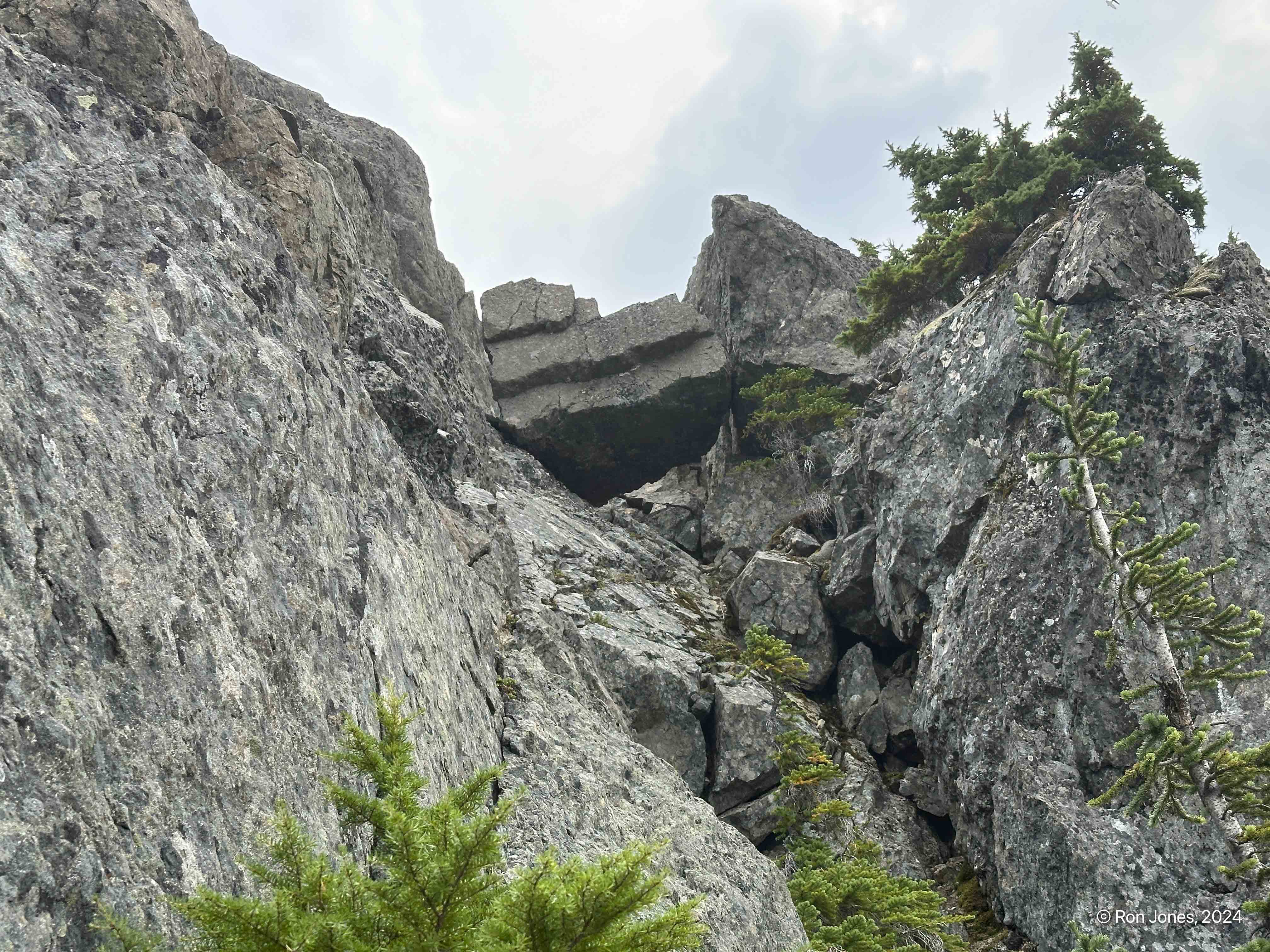
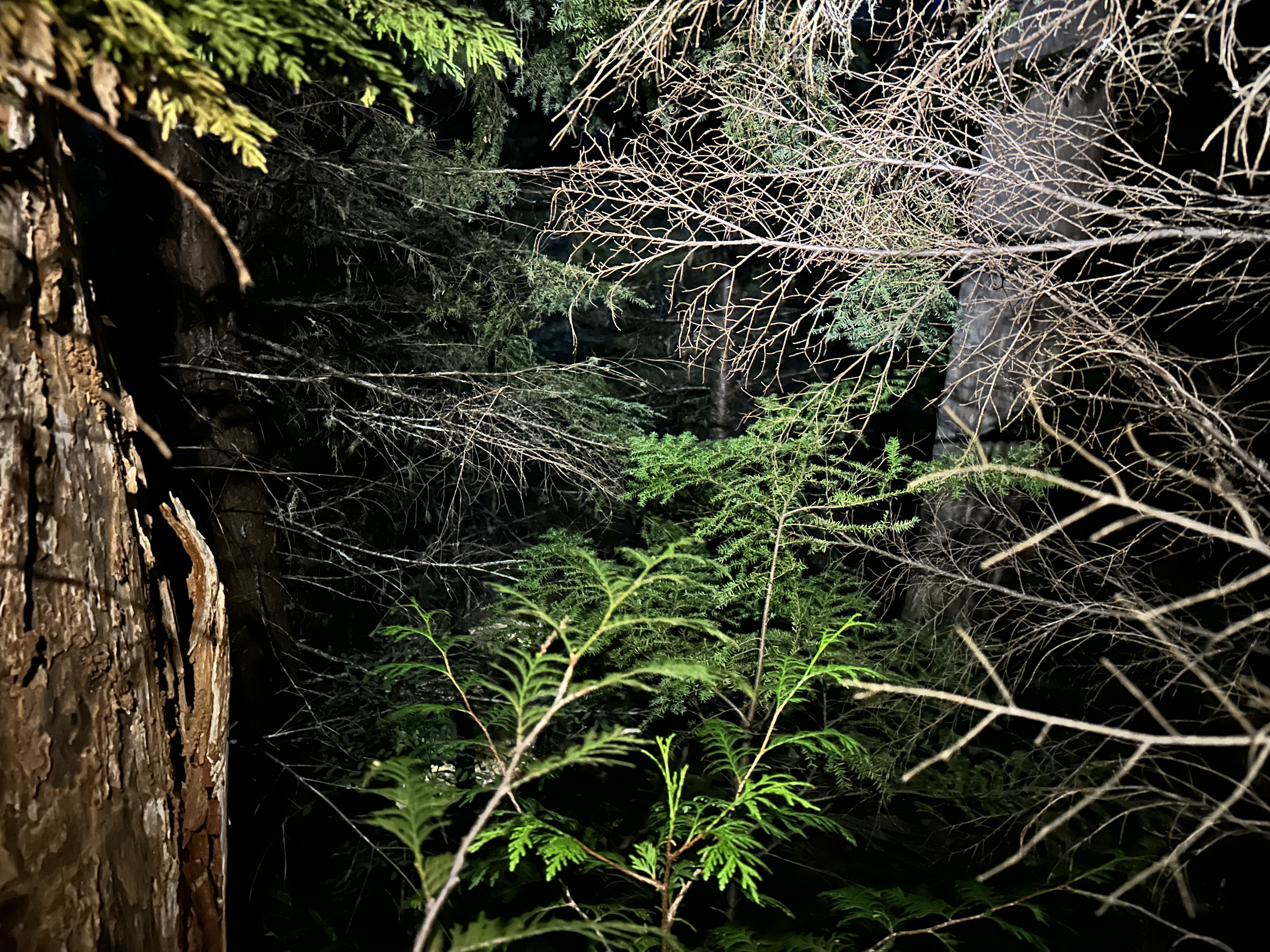
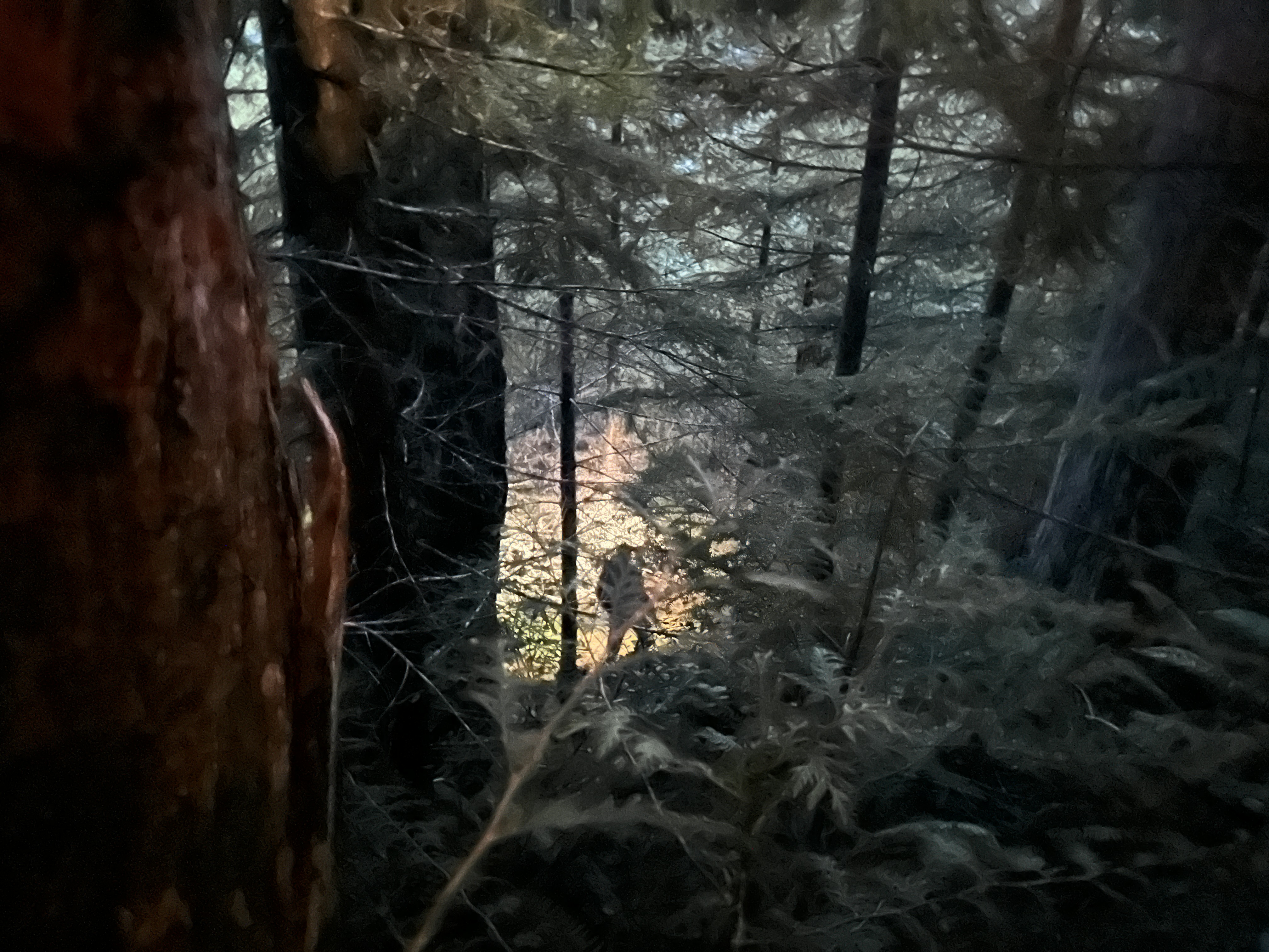
You might find some unexplainable features as you climb up. If you see them, it’s a good sign, you’re on the right path.

Isn’t nature amazing?

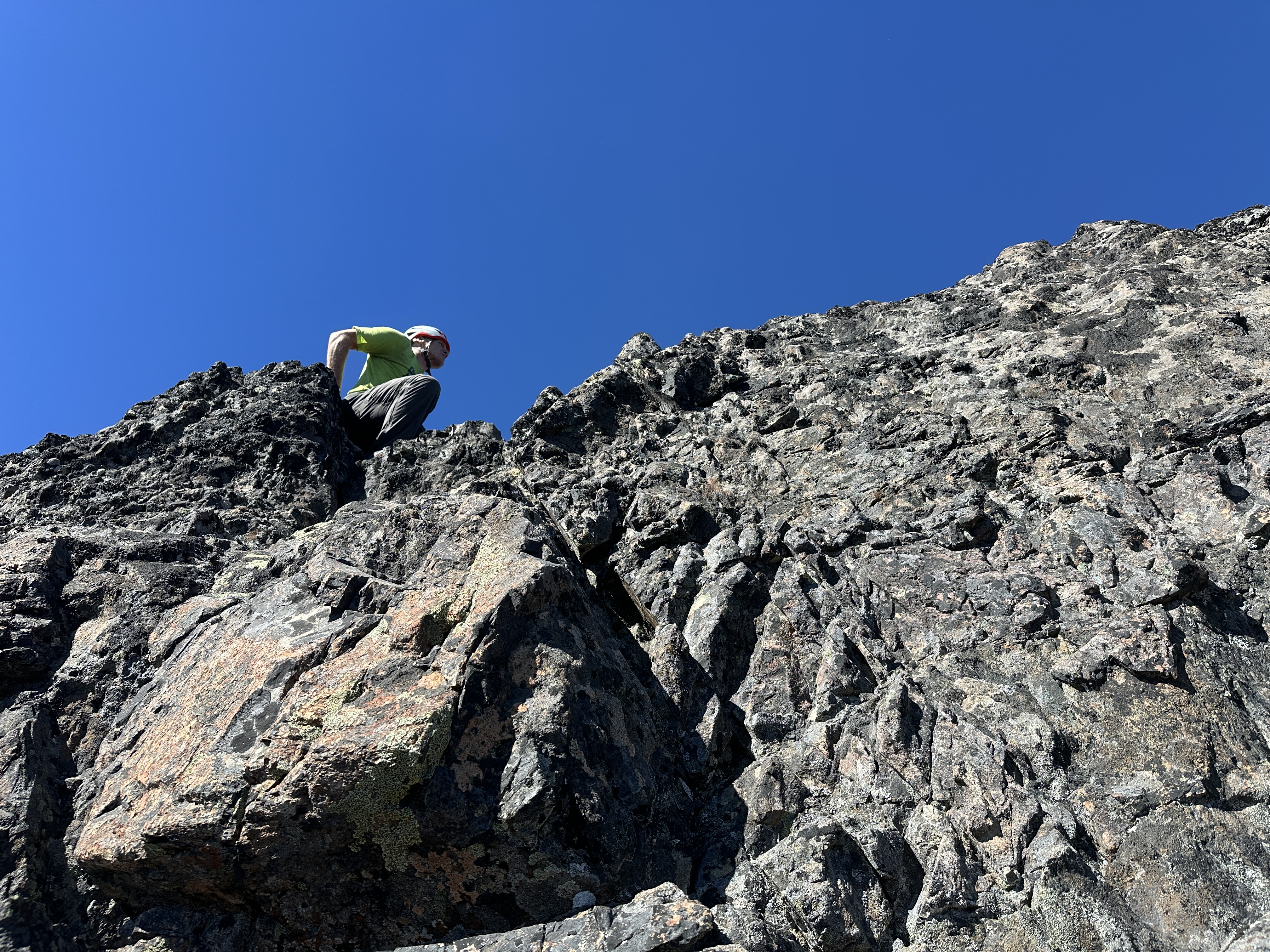
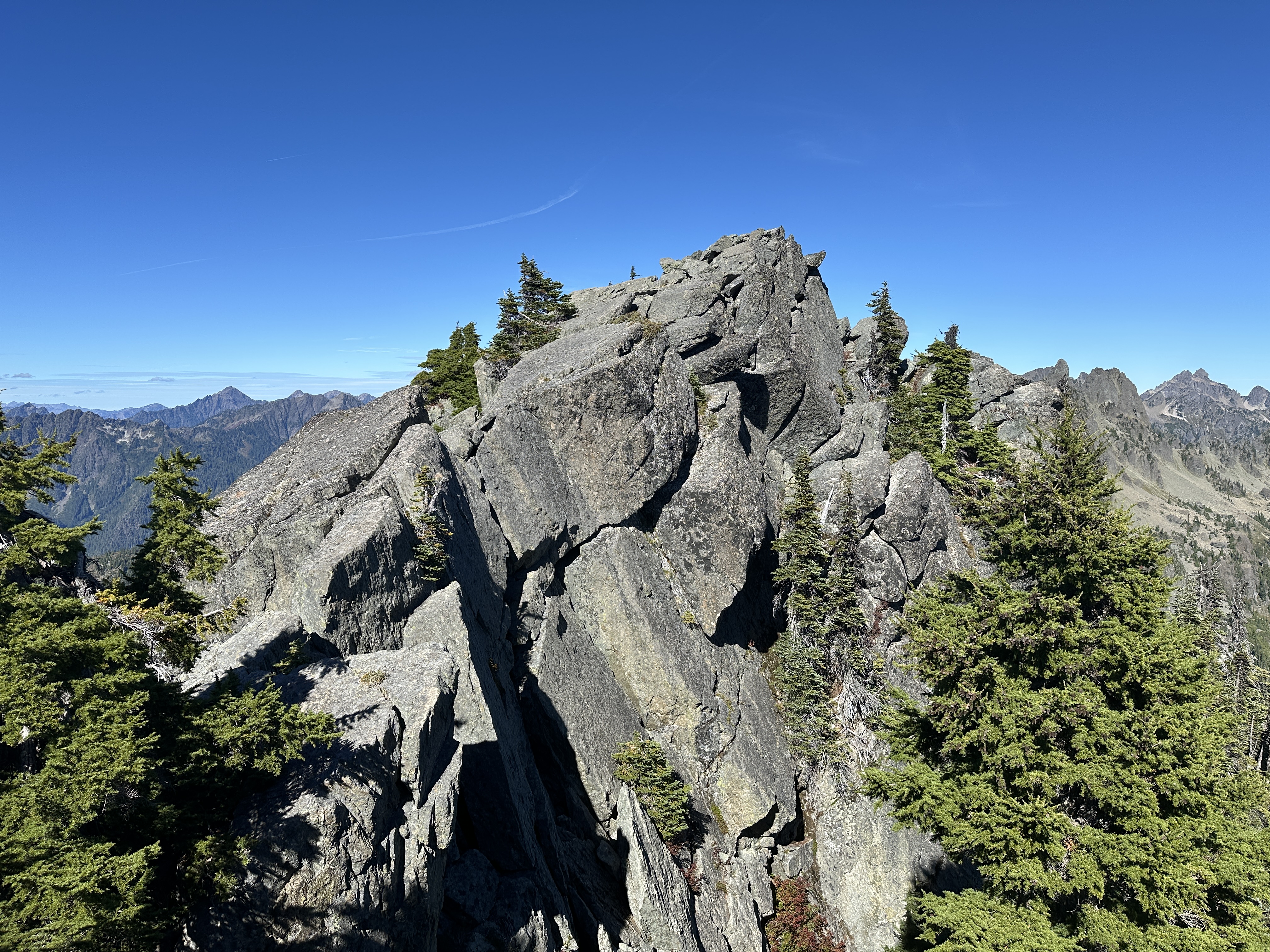
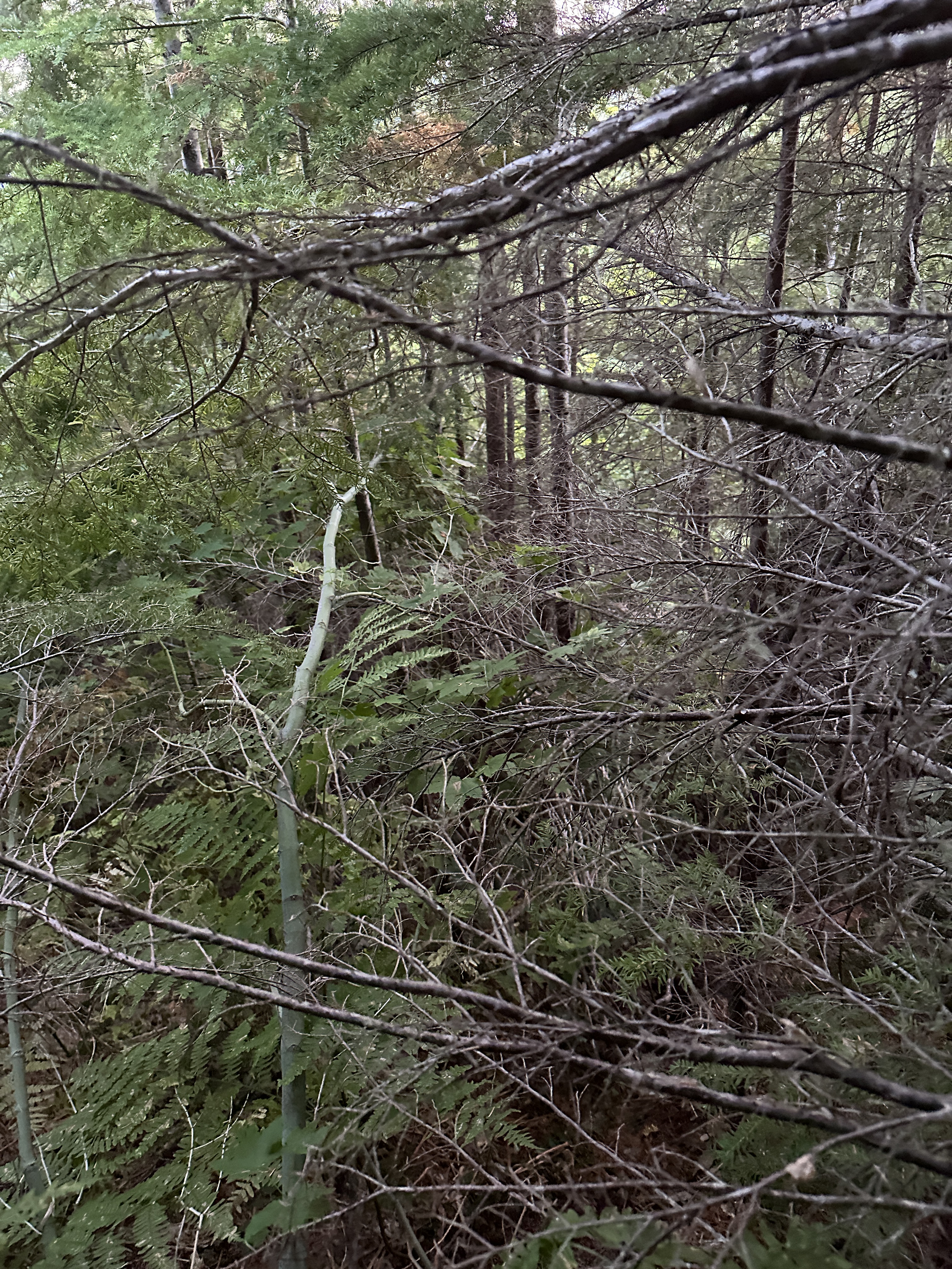
It’s mostly open with minor bushwhacking. It is steep however. YOU ARE WARNED!


Eventually, we came to the magical flattish area of the ridge. It’s about ¼ mile long or so. A welcome relief before breaking out into the open. It took us 4 hours to reach this point. An hour less than last time.
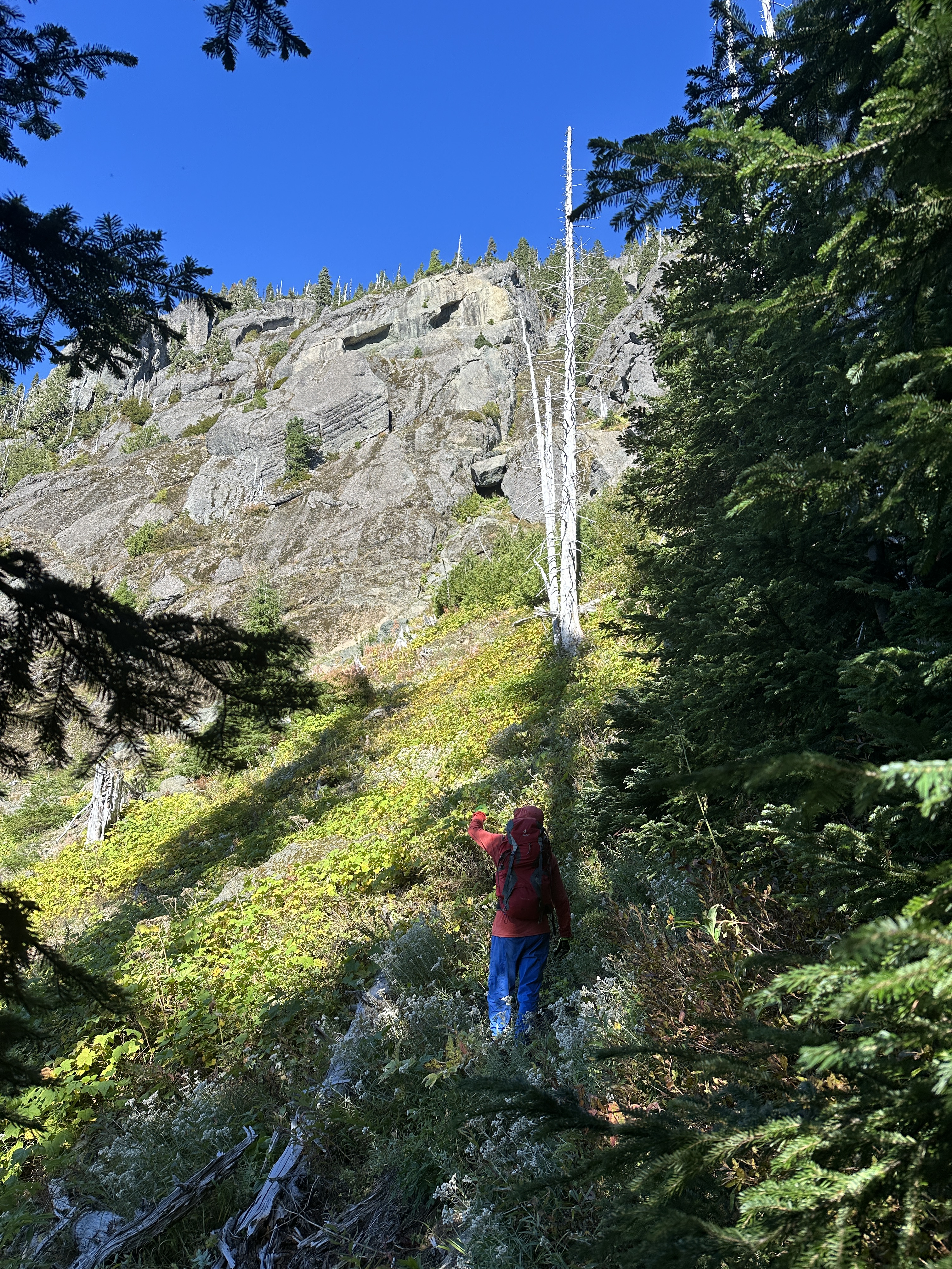


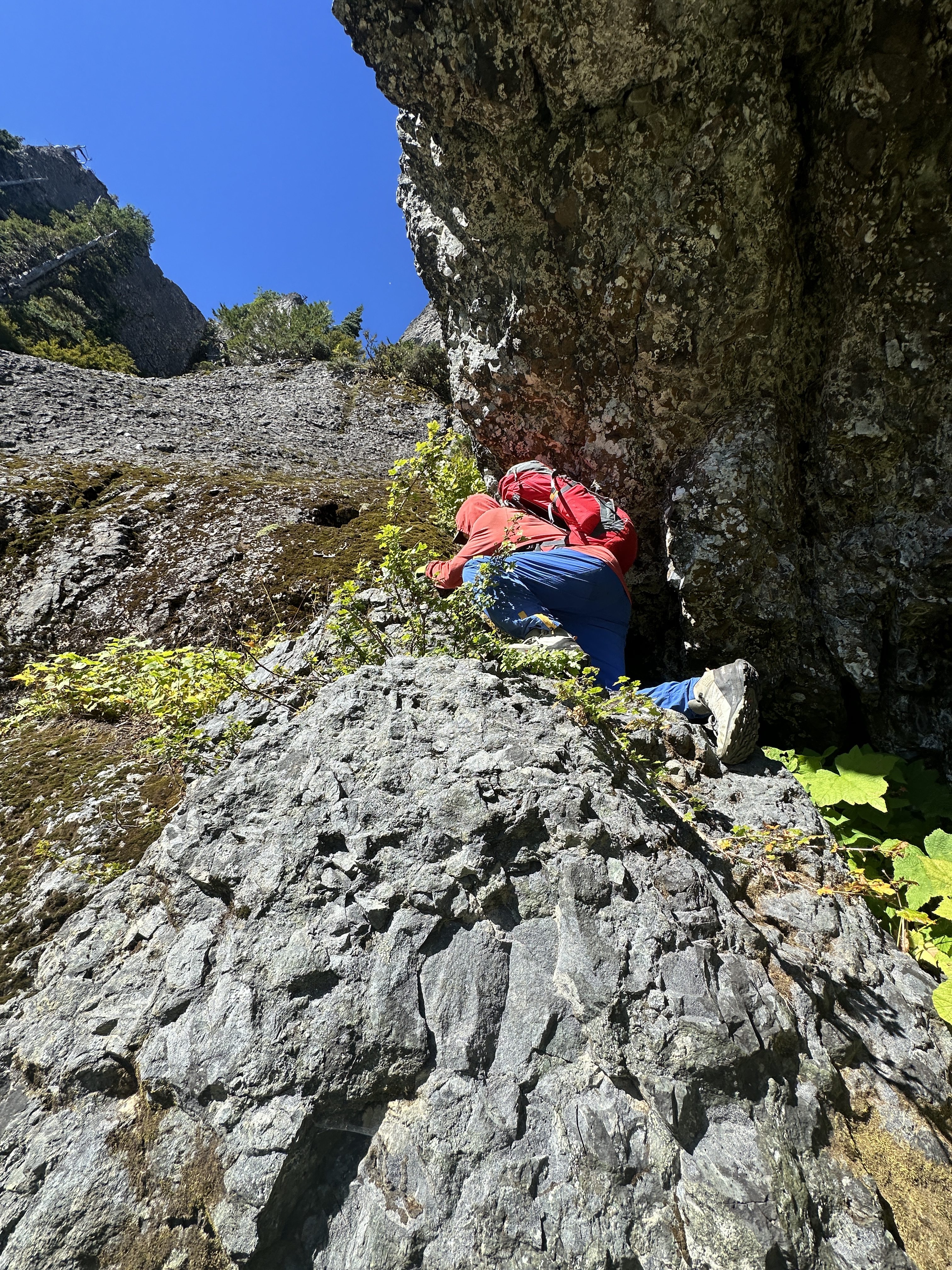
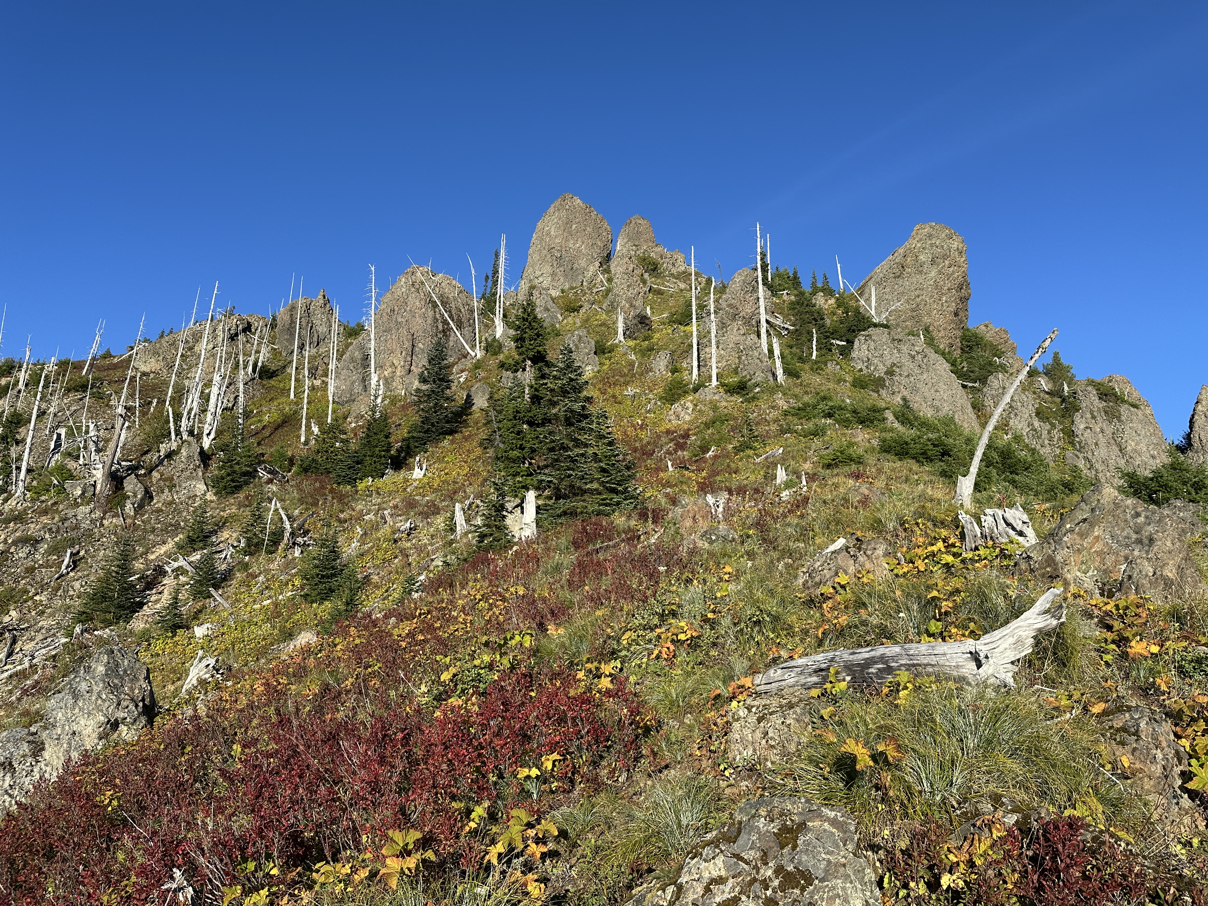
Once out in the open, basically take the route that presents itself, up toward the rocky buttress, and contour up and to the right. Take the first gully on your left, then as you ascend that one, take the 2nd gully on your left. It’s rather prominent, but full of thimbleberry brush or what looks like thimbleberries.
There are other gullies/chutes up and to the right. But we know this one goes. However, you will be faced with two spots, somewhat close together, that require athletic moves. A fall would more than likely result it something broken. Maybe many broken bits.
It would be possible to protect each with a handline, but, someone has to go first. Climbing up the second one requires 3-4 moves where you sorta stem and mantle with footholds on mossy rock. These two spots are largely what have prevented us from descending this route. We should have had helmets on here. If I went again, I might consider just setting a handline and coming back down. And bring a wire brush to scrub the moss off in spots.
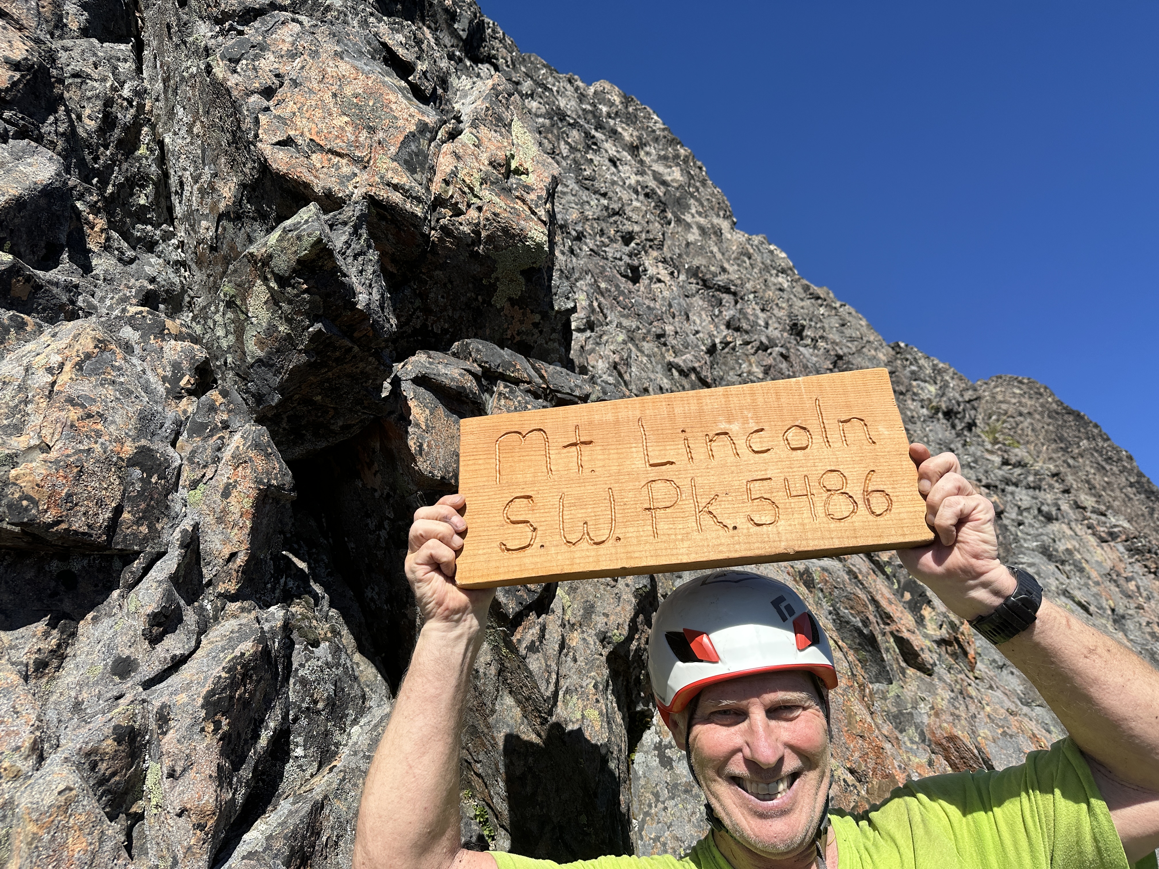
Finally, we made the ridge and SW Lincoln. It took us 5 hours with minimal stops. Lon had been up before. I had not. Like I mentioned earlier. This one is spicy. The top middle shows the route up with a ledge just above Lon’s head. Actually, I seem to recall and easier route off to my left. The bottom photo shows the ledge where you’ll find the SW Lincoln sign. No where to put it on the summit. The face climb is on the left of the ledge. It’s really hard to get a telling photo from the ledge. 2nd row left and middle is me on the summit knife edge. And I mean knife edge. It’s a few hundred (?) feet down the far side. The rock is chossy. The knife edge has three peaks. One behind me and in front seemed close so I “touched” them using the boot scoot across the ridge. I was pretty puckered going up and down the face. Only 12′ or so, but steep with crappy holds. Having a partner to help call out foot holds was a must for both of us.


After 30 minutes of shenanigans we began working our way to Lincoln. I’d carried less water this time due to cooler weather and having left overs last time, but found myself more thirsty. We got lucky when Lon spotted a pond. We are pretty sure it was the result of rain a few days prior. I drank and added some to my bottles. But should have filtered another liter. All water was gone before we got back to the trail.


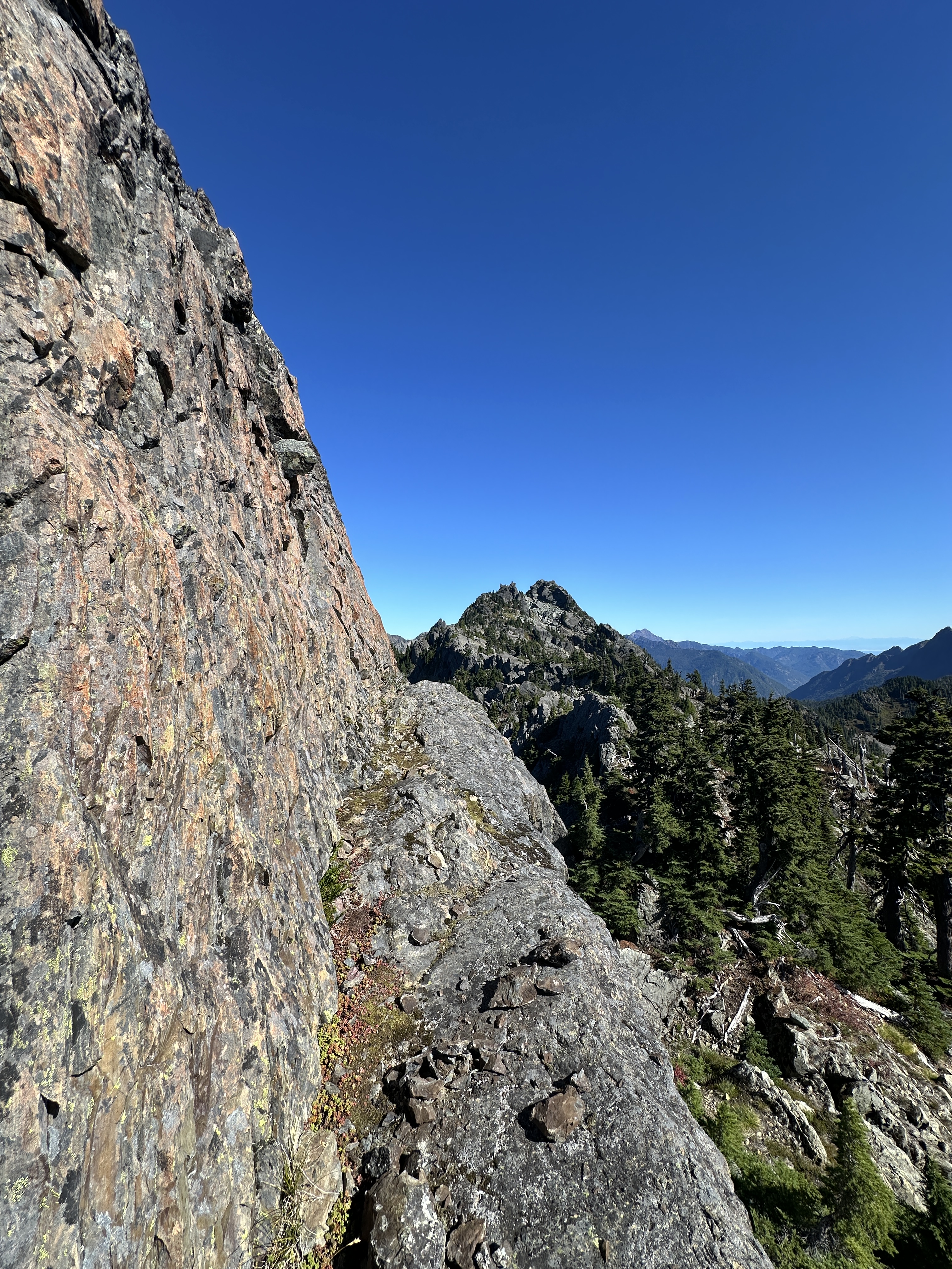
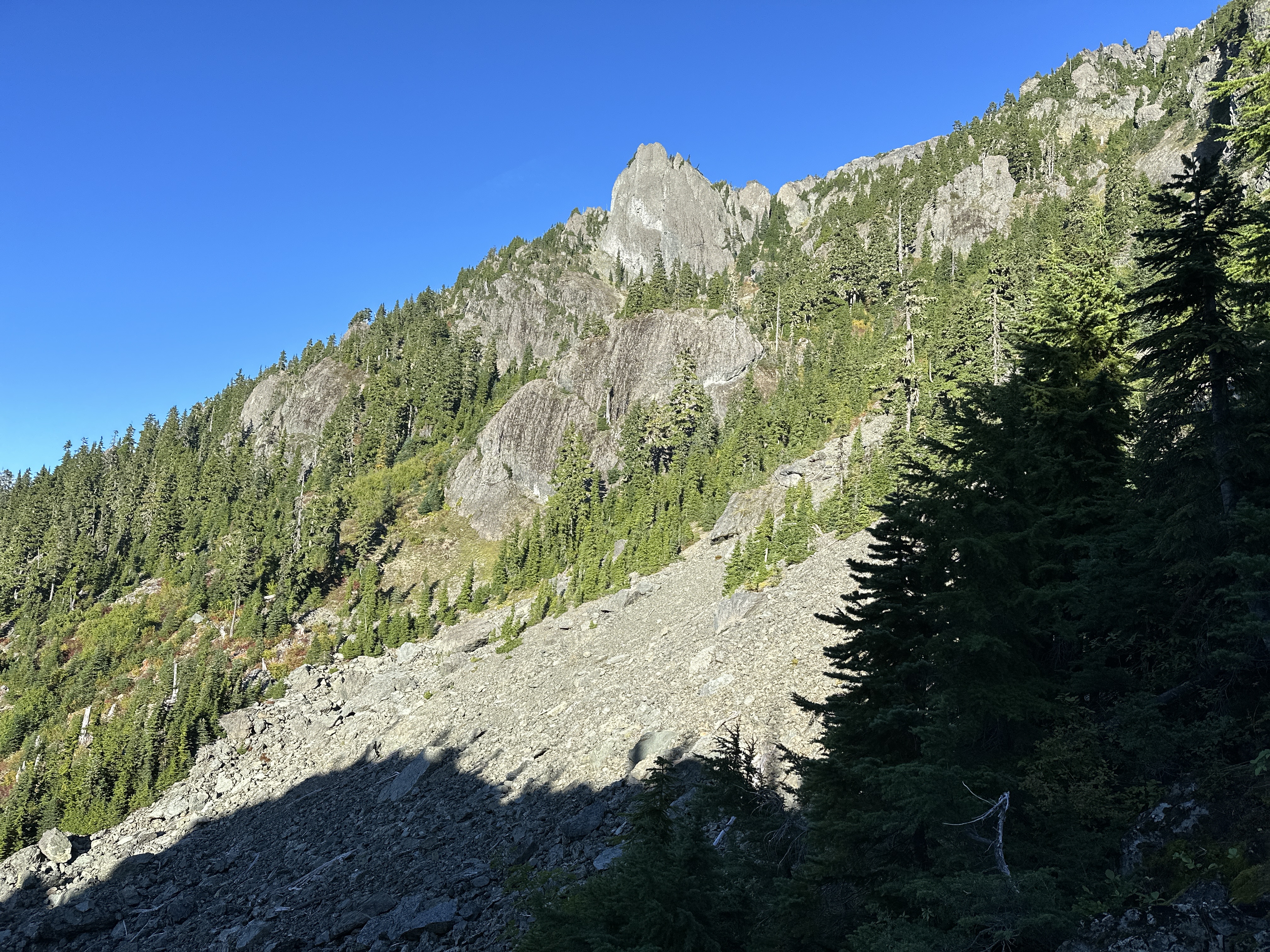
Lincoln Summit as seen from SW Lincoln. It’s the right side. Look for the chute where you see that dark face.
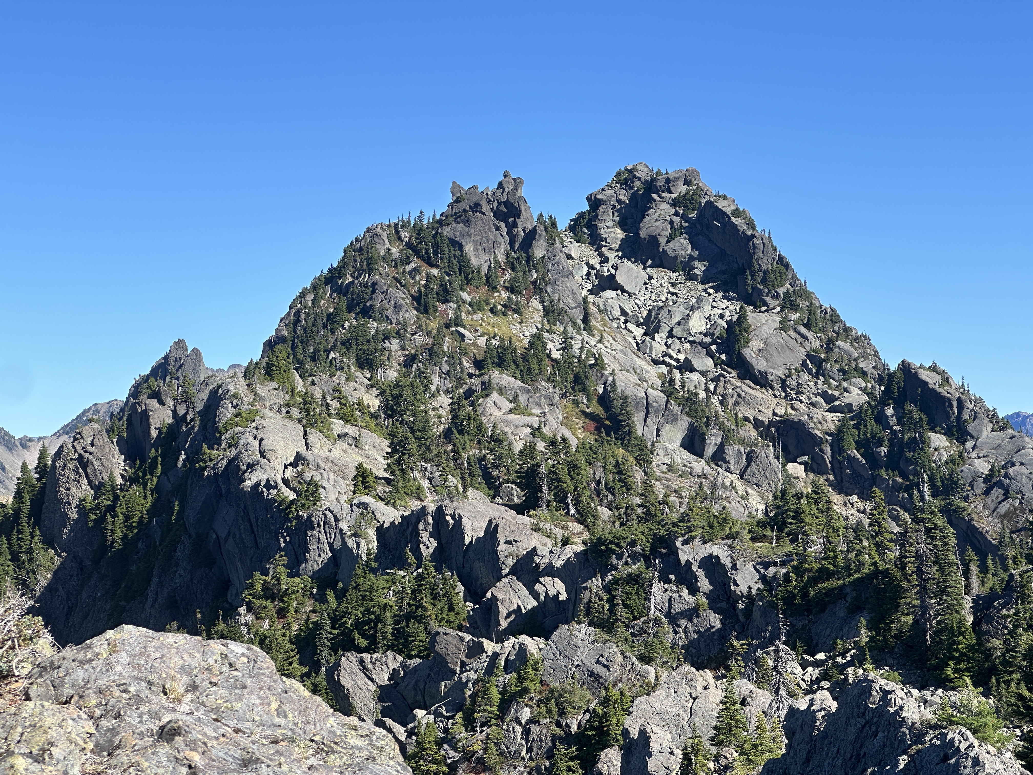
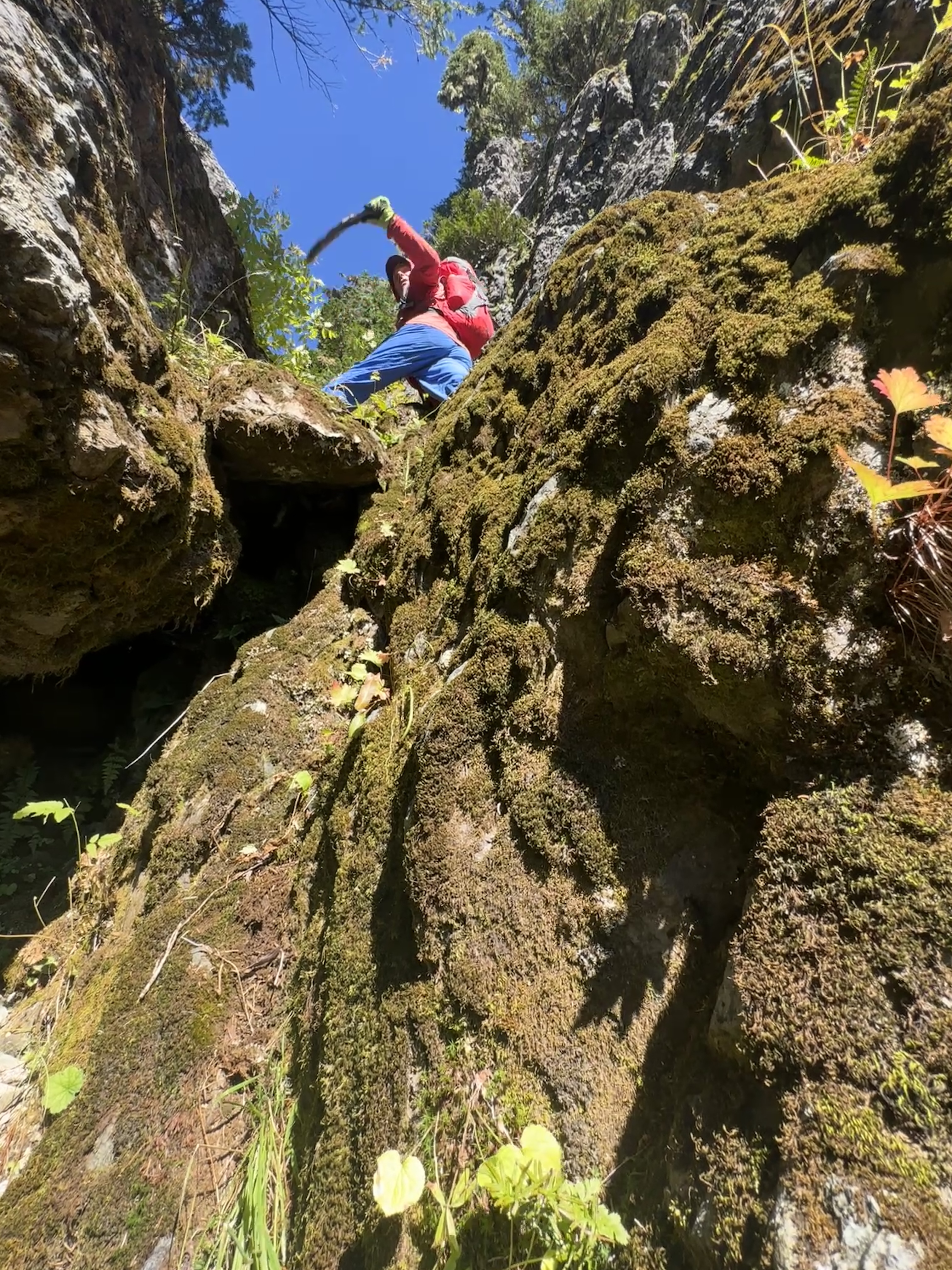
After reaching out to a climber on peakbagger who had recored a successful summit, it sure sounded like the route was up toward the huge chockstone we’d seen. Thinking we’d just not investigated it well enough, which we hadn’t due to time constraints. When I first walked up to the chute with the chockstone, my first impression was that it had moved since we were here last. We climbed up to a ledge, went under a smaller chockstone (one that looked to sketchy last time) worked across a different and higher ledge below the big daddy. We had put on harnesses to be prepared with using a rope in scramble mode. More for the down climb or protecting the 2nd person. Someone had to go first. We were looking at 5th class in my opinion. I contemplated the route 2x, thinking that if I just studied it more I’d see something viable. But no. The risk was far to great. We had once again, come up short. Definitely not a great feeling. That’s when Lon said, let’s look around the corner.

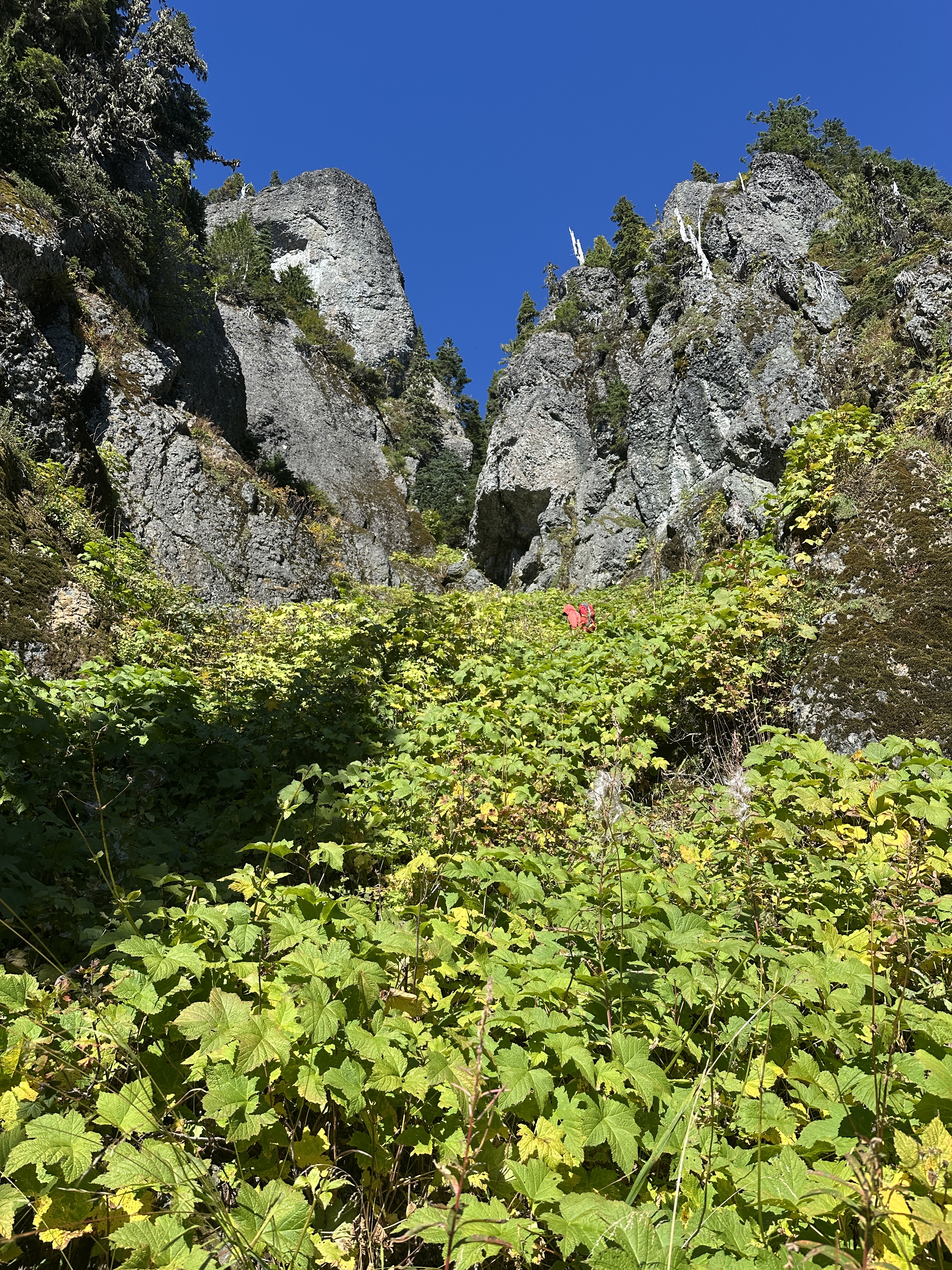
The image below is the correct route up. Maybe 3 minutes south from our previous gully. It’s honestly a fun and interesting little bit of scrambling. I wish it were not such a workout to get there and back. I’d rate the summit as class 3+. Might be class 4 in a spot or two. Mostly due to the airyness.

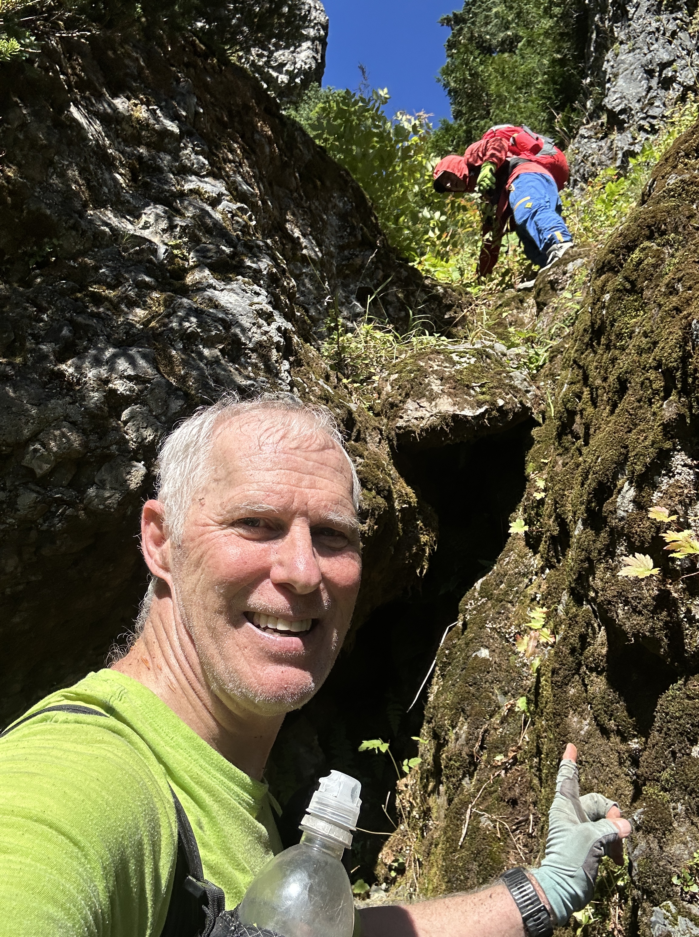
This will take you to a secret passage

Shenanigans in the secret passage. It’s an easy walk through.

Now you are looking at the summit. The route is a sloping balance beam you see in the foreground extending away from the tree in the left third. It’s kind of intimidating, but wide. I used the downward dog, hands and feet walk on the way up, and just walked normally, and jumped the gap on the return.
The secret slot is on the far left of this photo (notch). Lon safely across the balance beam. SW Lincoln is that pointy thing on the right and at the end of the ridge.

Me. sorta looking like we climbed but that’s just a static line and anchor material. Never used it.

Lon with the Sawtooth’s in the background.

Looking down at the chockstone. it’s right down there. This view provides a better look at the balance beam section.

It’s a long story. But we’d brought the sign Lon made, but initially left it where we could not get up. But Lon went back and brought it to the proper chute after we came down. Maybe someone will take it up, or just leave it as a marker.

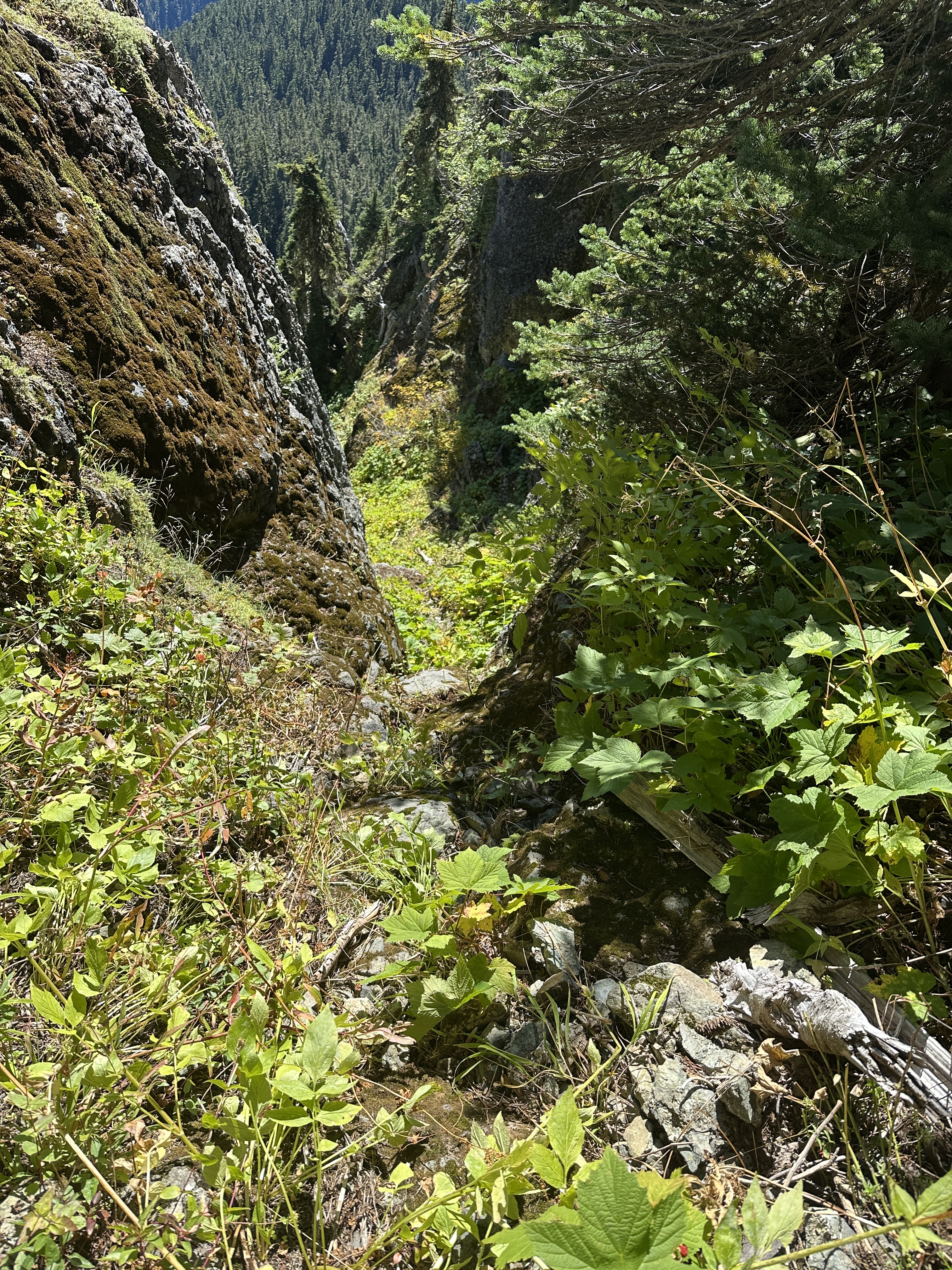
Once again, it was 8 hours before leaving Mount Lincoln to descend. But this time, we had tagged the summit, so we were okay with that. However, we were dealing with short daylight and it was 2:30PM. Dark around 7PM. We had reserved to the factthat we’d possibly not make it to the trail by dark. Not a good situation. Lon took us down over the west side of ridge on the way back to SW Lincoln. We had to traverse three gullies and ridges, which was exhausting. In hindsight, we should have just gone to the south end of the ridge. No way to know for sure but I suspect we l expended over and hour or two extra by taking this route. Both time and energy. But it did get us to where we needed to go.


Descending the south ridge to the old climbers trail is steep and hazardous. Loose scree. Veggie belays. Intermittent thick brush. Occasionally elk trails that magically vanish. Eventually we ended up in very thick brush, known as dog hair. All I can say is that it was very tough going. Getting slapped in the face just by moving forward. Unable to see where your feet are stepping. At one point, just before it got dark, I lost footing and slid on my butt for about 30′, unable to stop, but fortunately in a sorta controlled, out of control fashion.
Eventually we put on headlamps, and for 2 hours we bushwhacked the most heinous brush I’ve ever experienced. It was very slow going. We found the switch backs, which are also overgrown. But those also peter out in a thick maze of downed trees and limbs.


When we finally hit the trail we were pretty excited, and speaking for me, exhausted. We took a short break and then walked out. What a day. What and accomplishment.
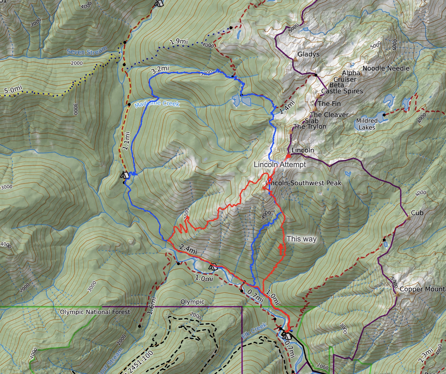
The image below has our two tracks. Both counter clockwise. Blue was our first time, and the up route for that one is definitely not recommended. The down route wasn’t so bad by comparison, but longer. That day was 14 miles versus the 10 or so for the 2nd attempt.
On our first attempt I wore LaSportiva approach shoes. Unfortunately they are too narrow and really hurt my feet. And while great on rock, they sucked on duff and through brush. I wore my LaSportiva Bushido III trail shoes and used microspikes a lot, both on the ascent and descent of the second attempt. They gave great traction on steep duff, brushy and loose terrain. I took them off once up on the ridge and scrambling better ground and rock.
If you happen upon this post and found it helpful for your own summit attempt, or have questions about it, leave a comment.
I had forgotten I dictated some notes. I added these. I did edit out a few non-discernible sentences. Dictation is always a little wonky. It appears it was more like 3pm not 2pm when we started down.


Way to man up there, Ron!
LikeLiked by 1 person
Haha 😂
LikeLike