

September 7, 2024
Where is Mt. Lincoln?
Mount Lincoln sits near the southern edge of the Sawtooth range in Olympic National Park. It is accessed either by the Staircase trailhead or Mildred Lakes. As of this blog post, only 27 attempts are listed in Peakbagger.com. Of course, peakbagger does not represent all the attempts, successful or otherwise.

Was it really a fire lookout?
The Mountaineers list Lincoln SW Peak as a fire lookout, as part of their fire lookout path and rocker. Yet, when I tried to find more information, it seems a little uncertain. This site suggest that it may have been considered for a site in the 1930’s but no evidence has been found. I have not read Leslie Romer’s book on fire lookout sites, but it may contain further information.
Which Lincoln?
There are three peaks for Mount Lincoln. The main peak is listed in peakbagger as Mount Lincloln, and at an elevation of 5,868′. Just to the north is North Lincoln. And to the south is SW Lincoln at 5,486′ (assumed fire lookout are on ridge) We were attempting the main or highest peak of Mount Lincoln, elevation 5,868′.
Route and Planning
When I’ve heard of people scrambling Lincoln, they usually talk about doing it as an overnight from Flapjack Lakes. Hike up to the lakes from Staircase ranger station and trailhead, set up camp, and either summit late that day or early the next. But most I’ve heard also say finding the way from Flapjack is not easy, sometimes people don’t figure it out.
My buddy prefers a very old school, simplistic approach to hiking and srambling. Basically, figure it out without carrying navigational aids- with the mindset that it’s all adventure and the summit is a bonus. And if it takes three or four tries, it’s okay -it’s a workout and fun to explore. He’d tagged Lincoln (so he thought) a couple times this past summer, with the first of three attempts not being successful. My mindset is a little different, in that I’d like to give myself every opportunity at success, especially when it’s a very challenging and long day – maybe one I don’t want to repeat.
As mentioned, the common route, if you can call it that is to attempt from Flapjack Lakes. There is also an old trail that heads up the south end of the ridge about 2.4 miles form the Staircase trailhead. It’s apparently in bad shape, mostly due to the Beaver fire in 1985 and lack of use. The old trail ends at about 2,600′ or about 2 miles up, as I understand. From there it’s a serious bushwhack up the ridge.
My buddy decided to try a variation that used a wintertime summit, where the climber went up the SE slope just a half to two-thirds mile out of upper staircase trailhead. That’s how he gained the ridge. So that was our plan.
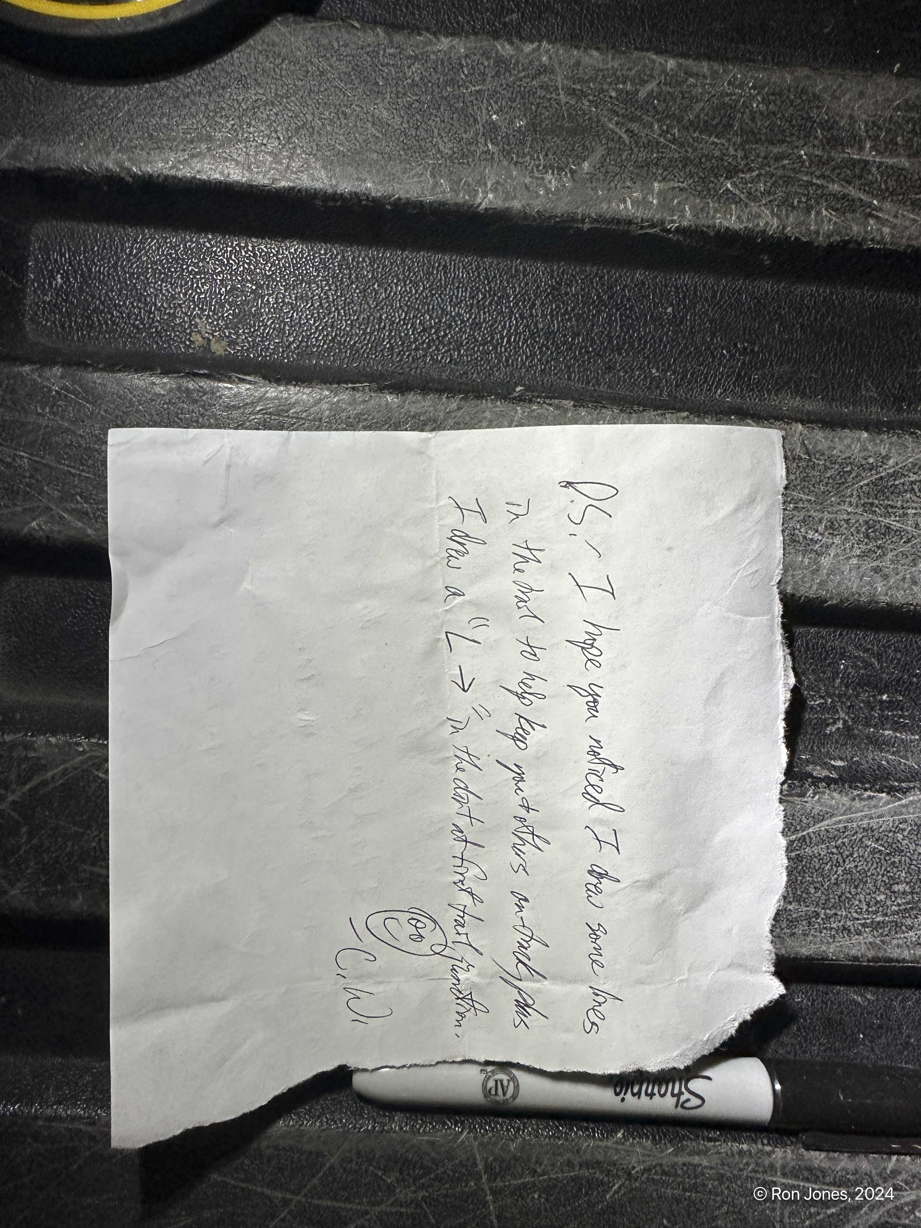
I was up at 3AM, at his house about 4:15AM and we were driving by 4:20 or so. We arrived at the trailhead, still dark of course, only to find another guy, Craig W., getting ready to hike. We inquired and it turned out he as also going for Lincoln, but planning on the old trail. He apparently got the summit according to a note he left for us on my friends truck and his peakbagger entry.
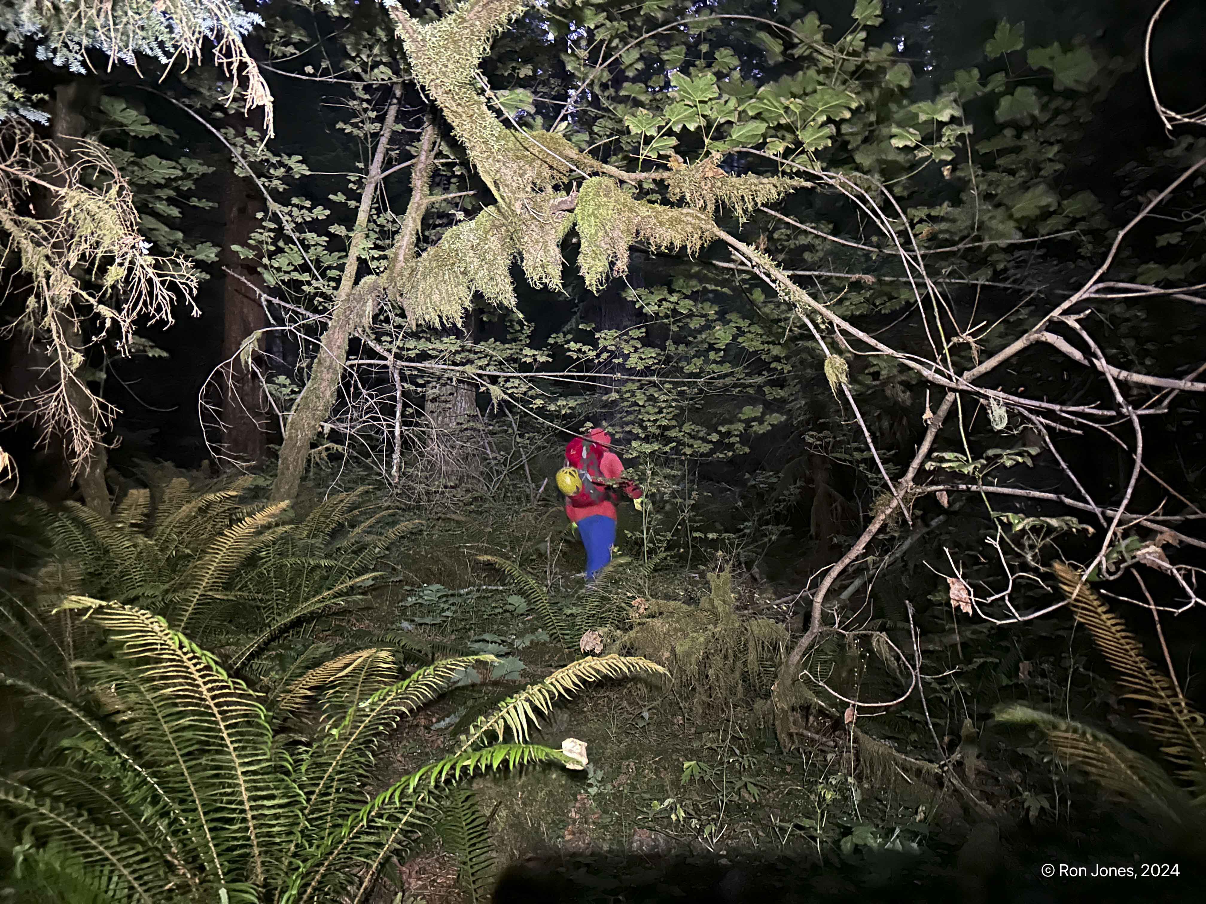
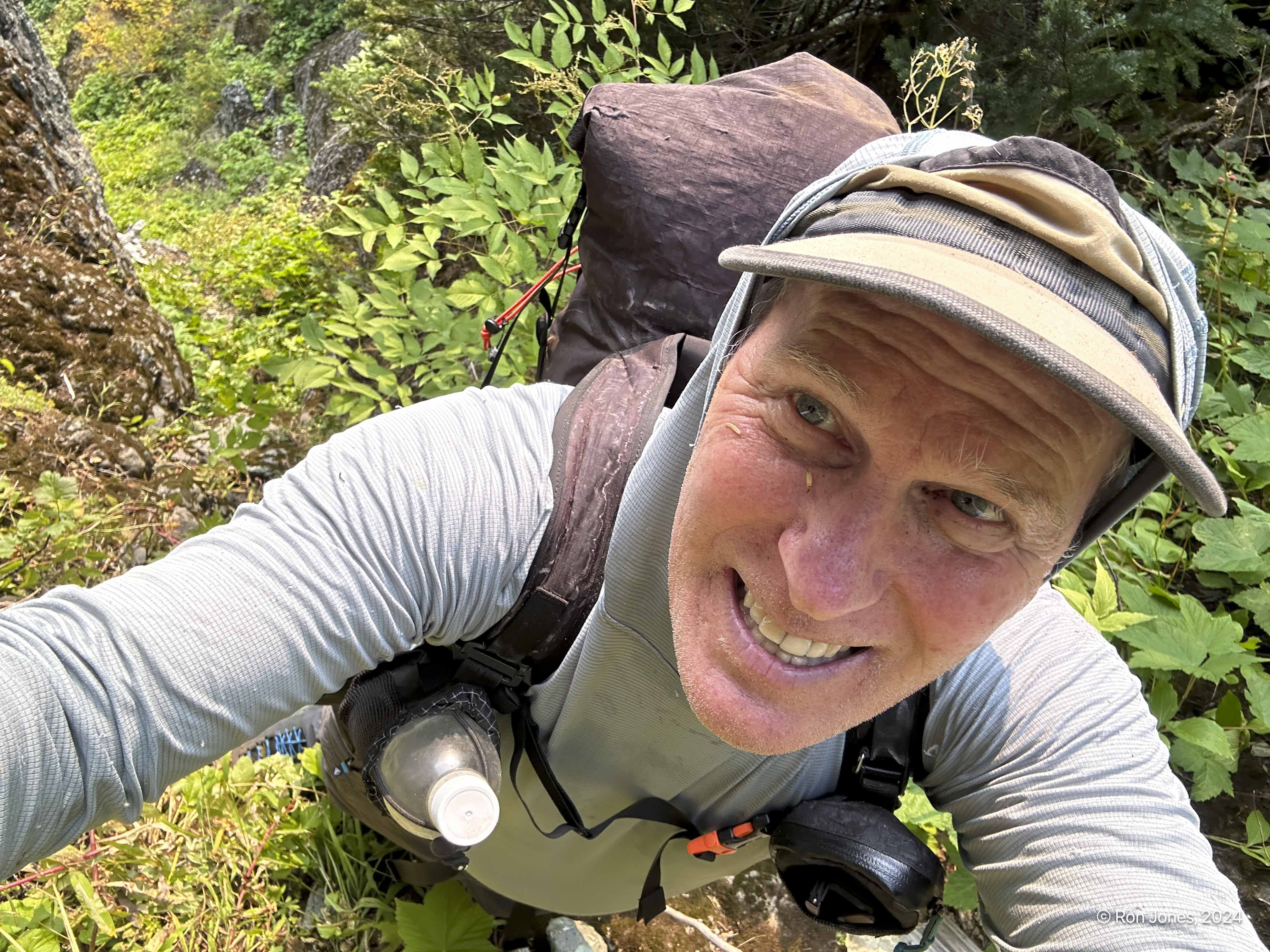
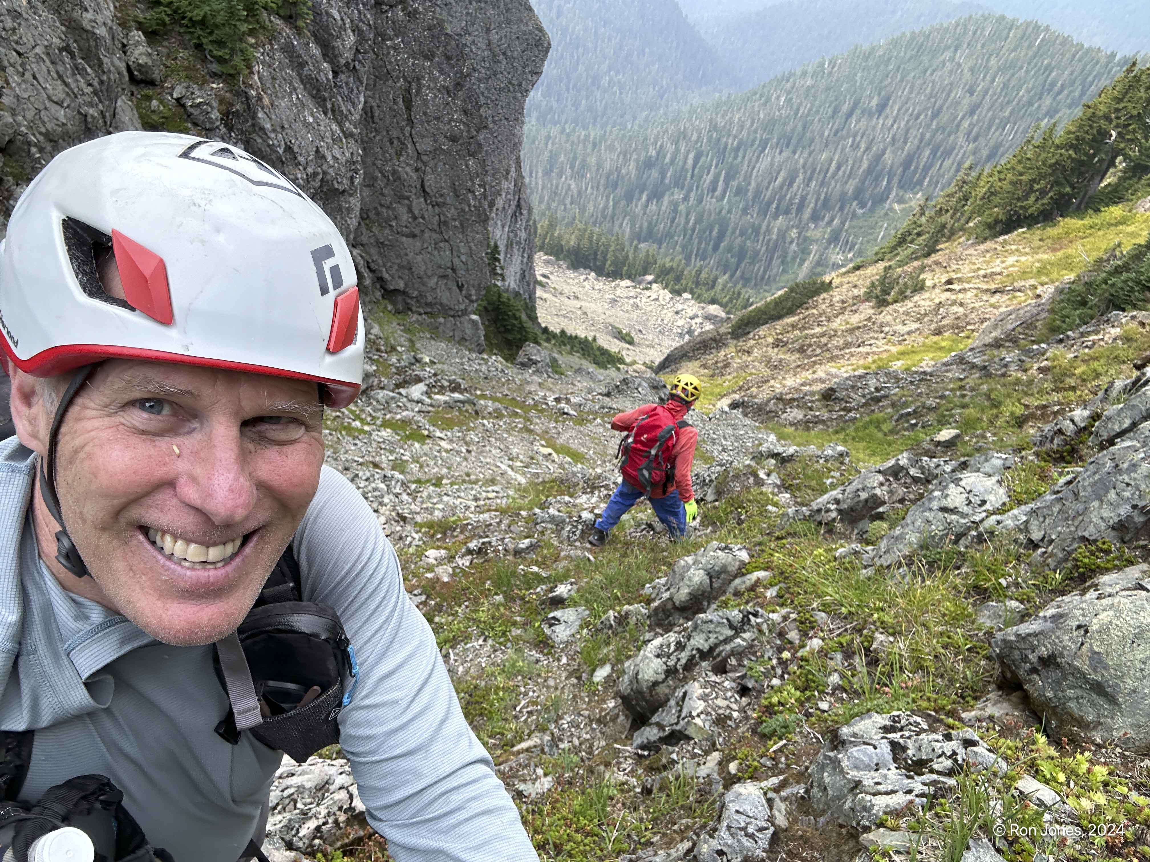
We began hiking with headlamps at 5:50AM. We got to yacking and ended up walking a bit far on the trail, about 1 mile, and had to backtrack. It was hard to find his spot to leave the trail in the dark. Kind of our first whoopsie! We went up a ridge just west of the one we should have. It’s all thick bushwacking from the start. Every step must be taken with care. I forgot to mention, we attempted to keep our pack weights low, but knowing that water was non-existent, we packed enough to last for a hot day. My pack weight was nearly 24 pounds, with 7 liters of water.

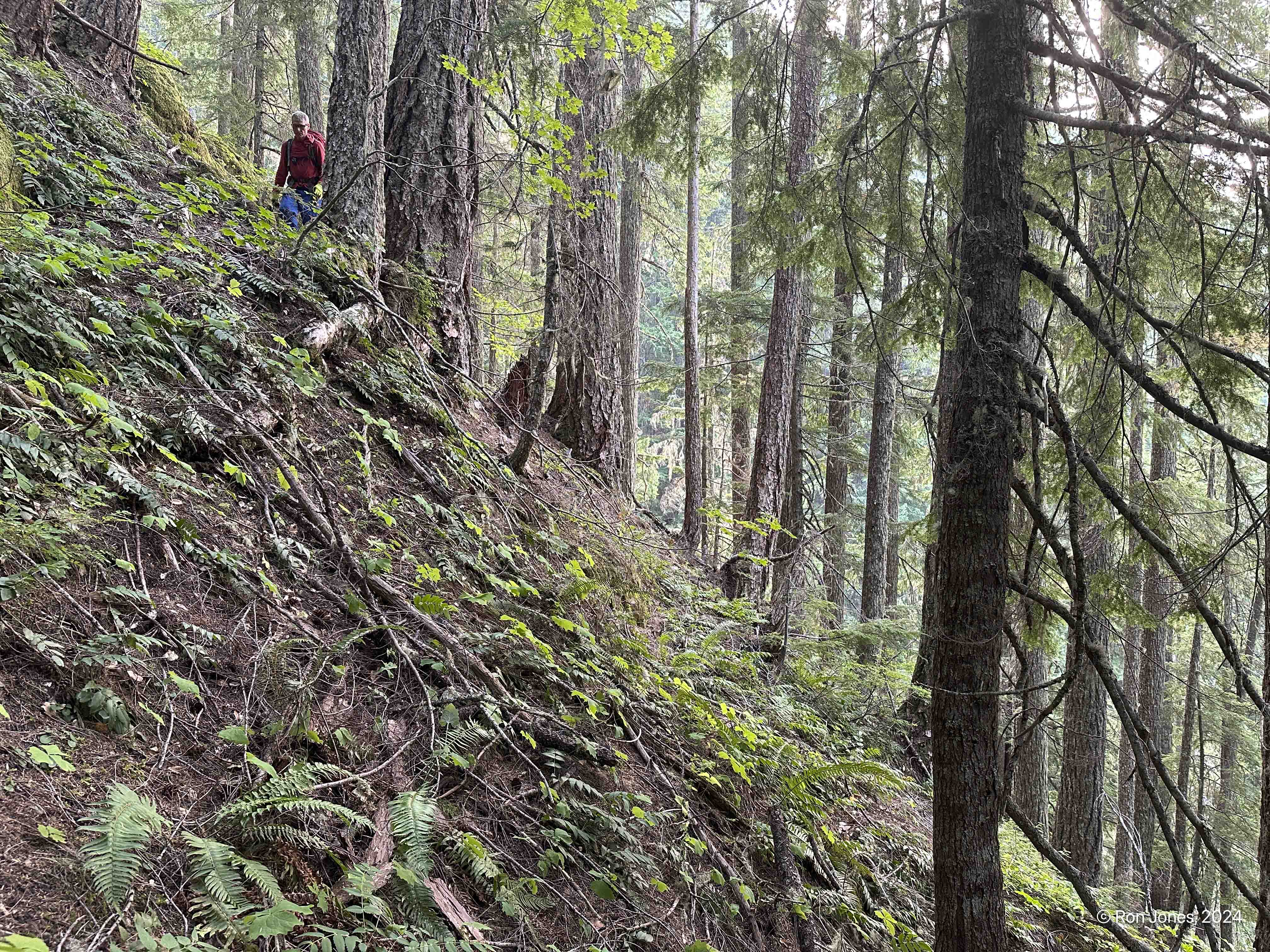
Lon’s previous trips up took about 5 hours to the ridge and summit of the SW peak. It took us a little over 6 to reach the ridge. The steep slope and bushwacking was relentless. Always 35 degrees plus. quite a bit was probably 40 plus degrees. Lots of veggie belays. We found a single broken elk horn down low (no photo) and then an animal den up higher. Not a lot of photos of the bushwack. It gave way to a moderate ridge before opening up to cross the stream that is effectively the one we followed up, crossing a couple times. After this open area, we went up some gnarly chutes with a couple ledges that required “athletic”, no fall moves.
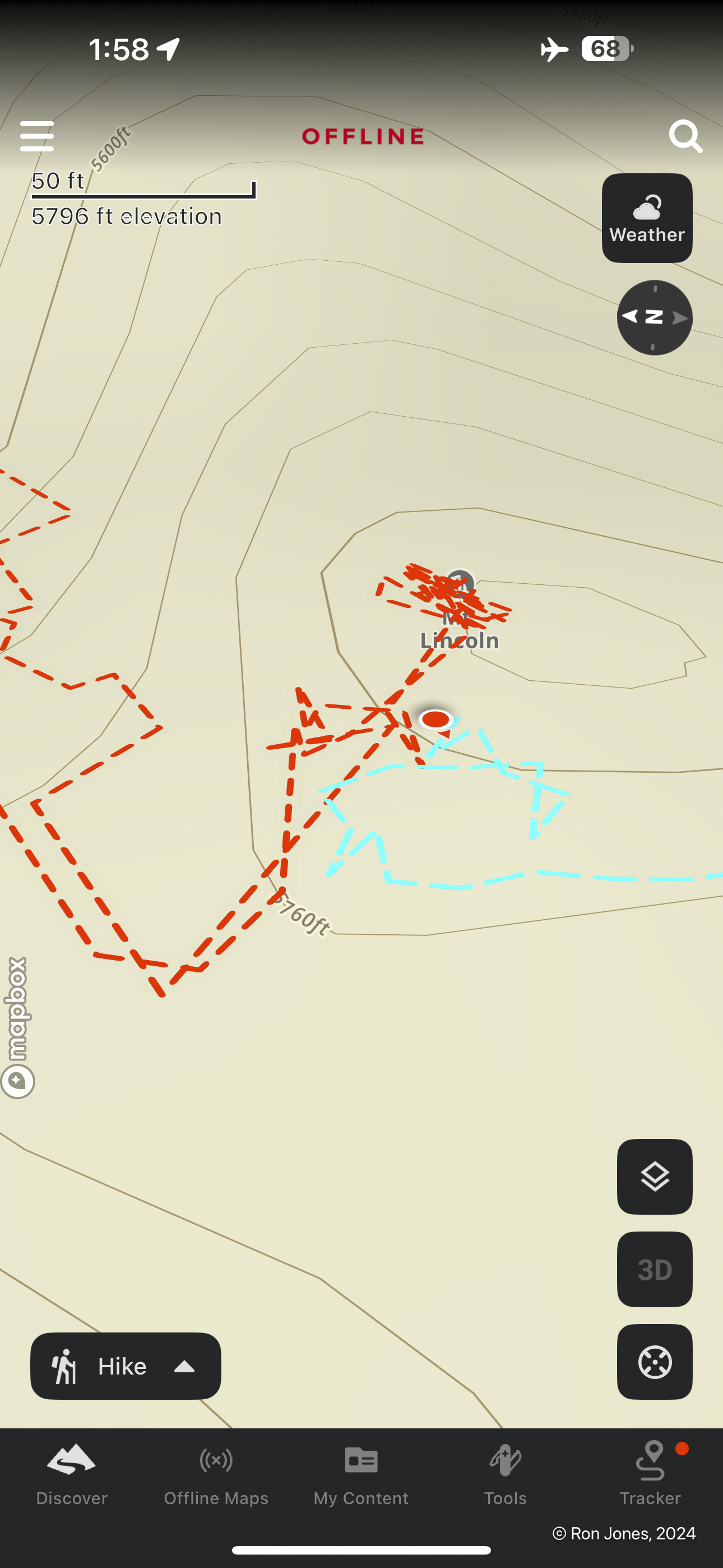
The map below shows our route in orange (counterclockwise), the dark blue indicates generally where we should have gone up to start, and the light blue is the old climbers trail that is over grown and ends around 2,600′.

Steep slopes. Microspikes would be advised for the loose duff.

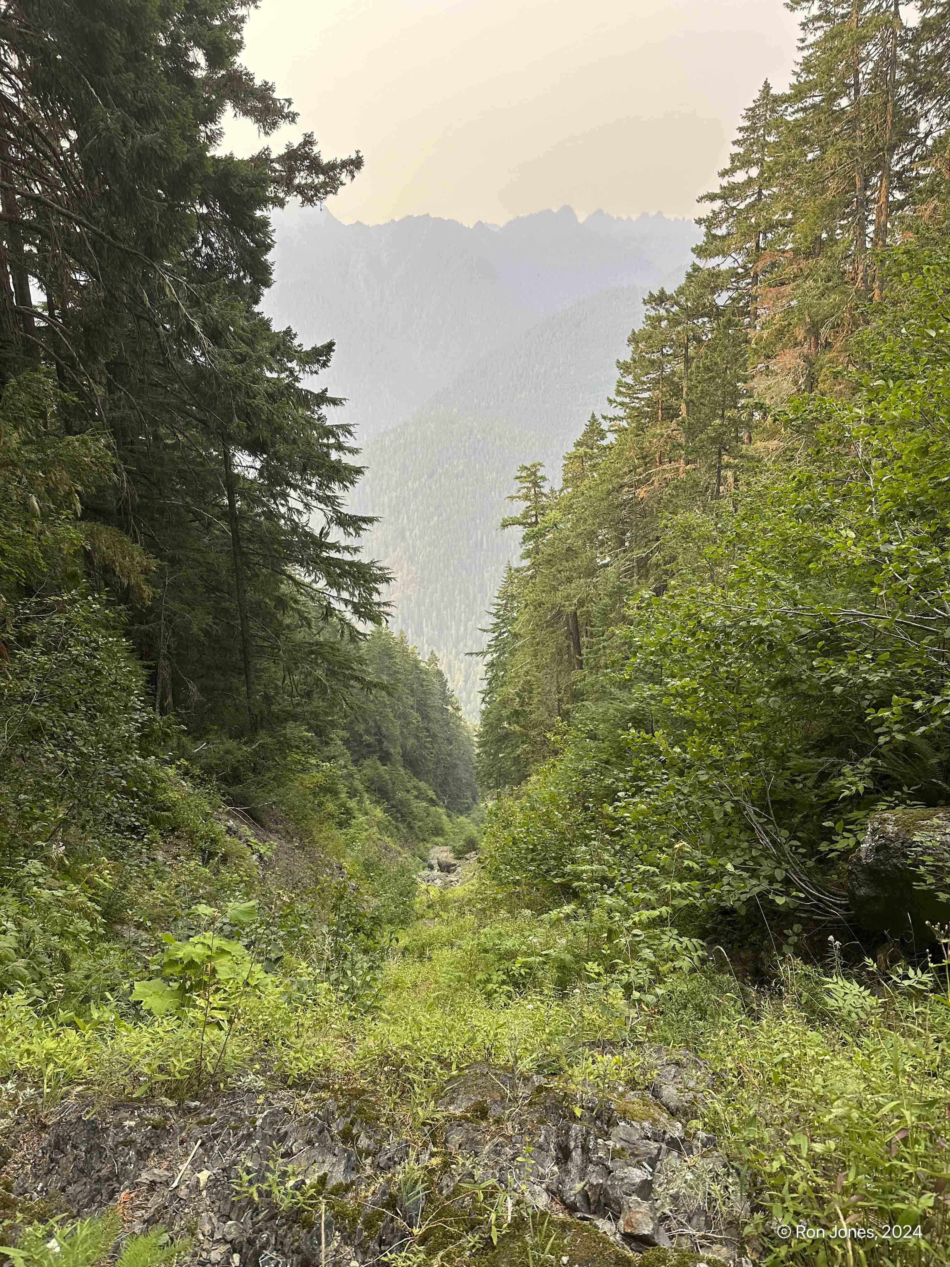


It was exhausting to ascend that forest. When we hit the subalpine and ridge, I thought we were close. Lon said the summit is over that way, and pointed pretty much uphill, west. I looked at this large peak to the north, on my right. Hmmm. A quick check on my mobile navigation apps, and my silent worry was confirmed. Mount Lincoln proper is over there, about ½ to ¾ mile north. Ugh! We took a break and headed that direction.
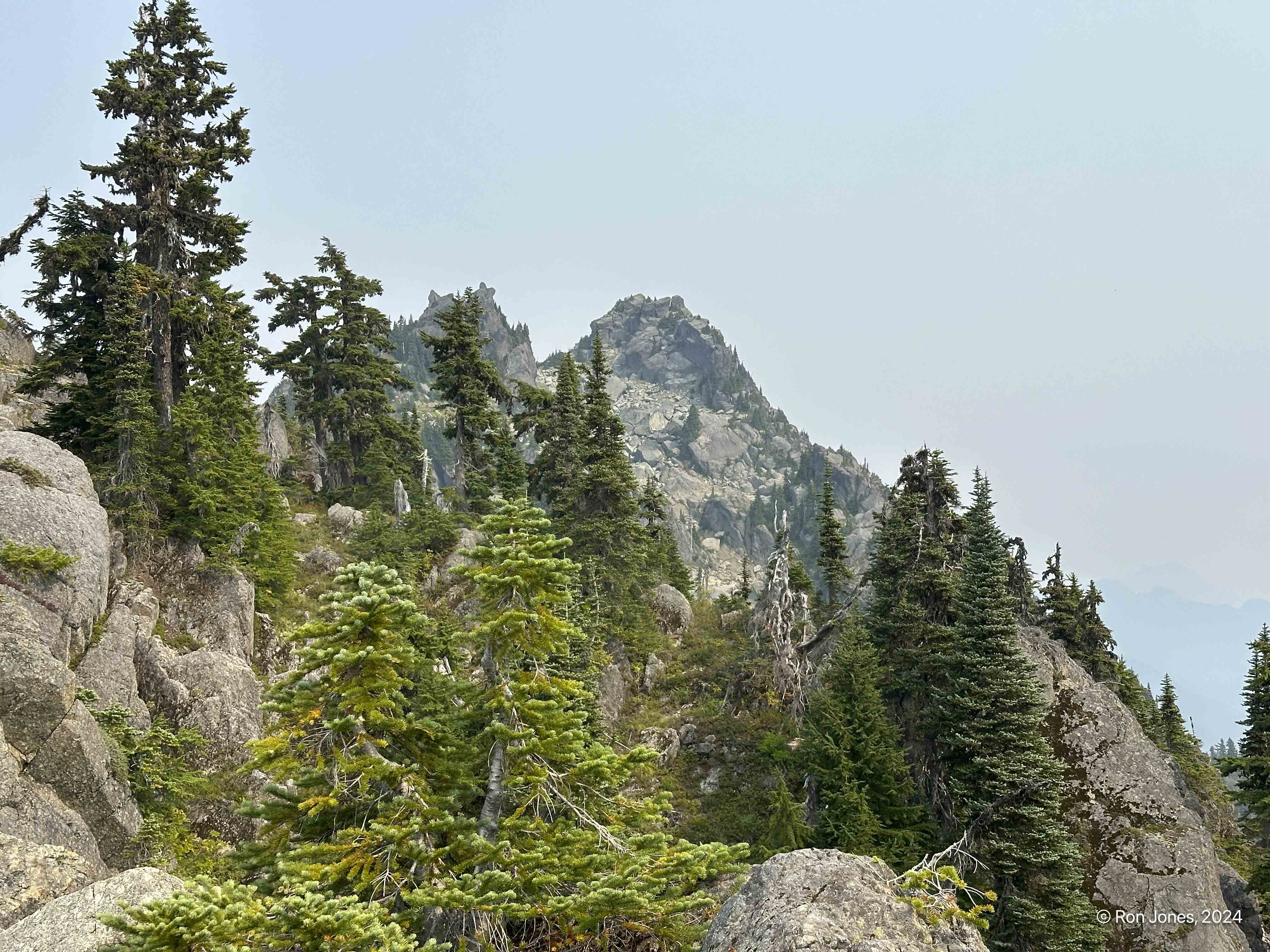


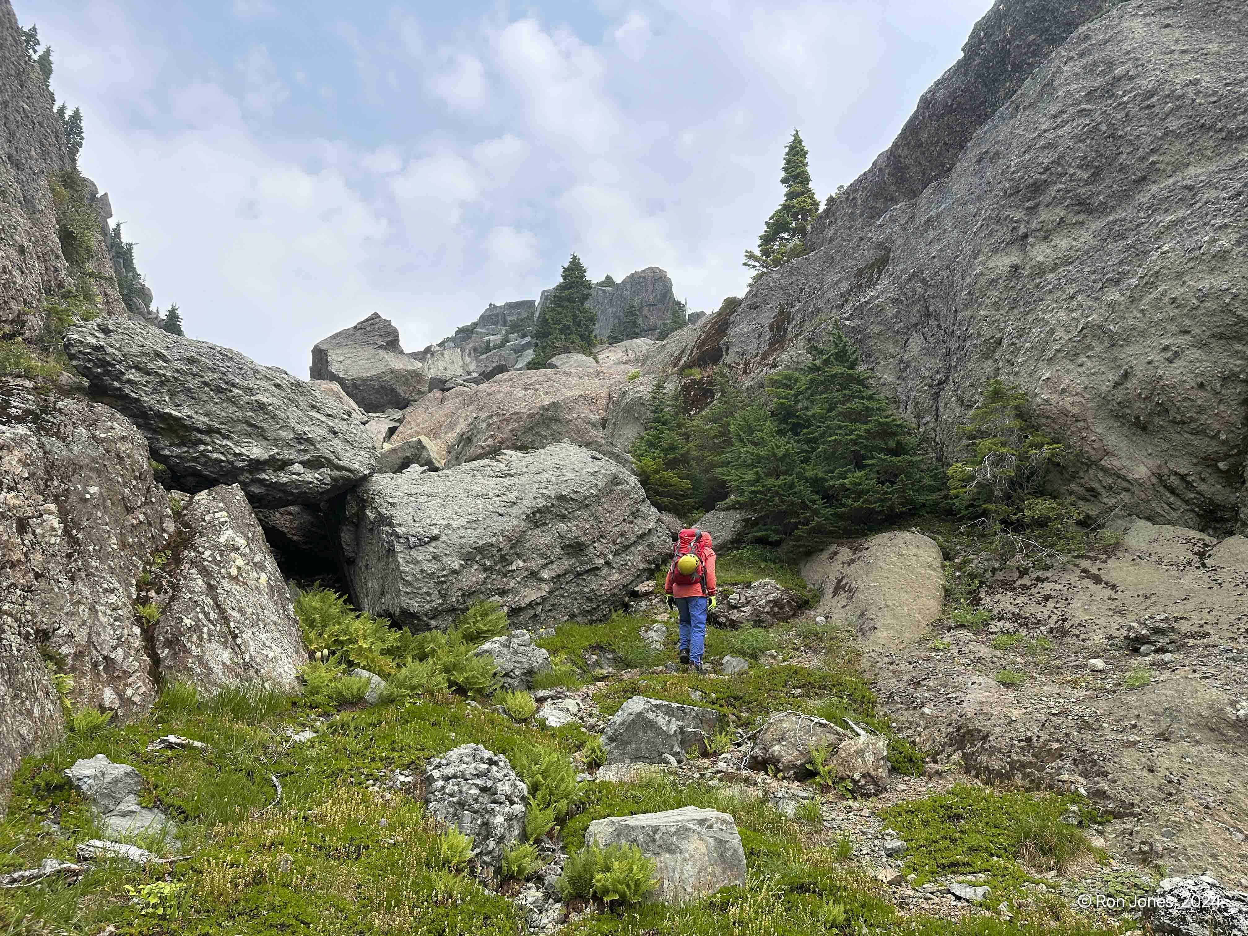
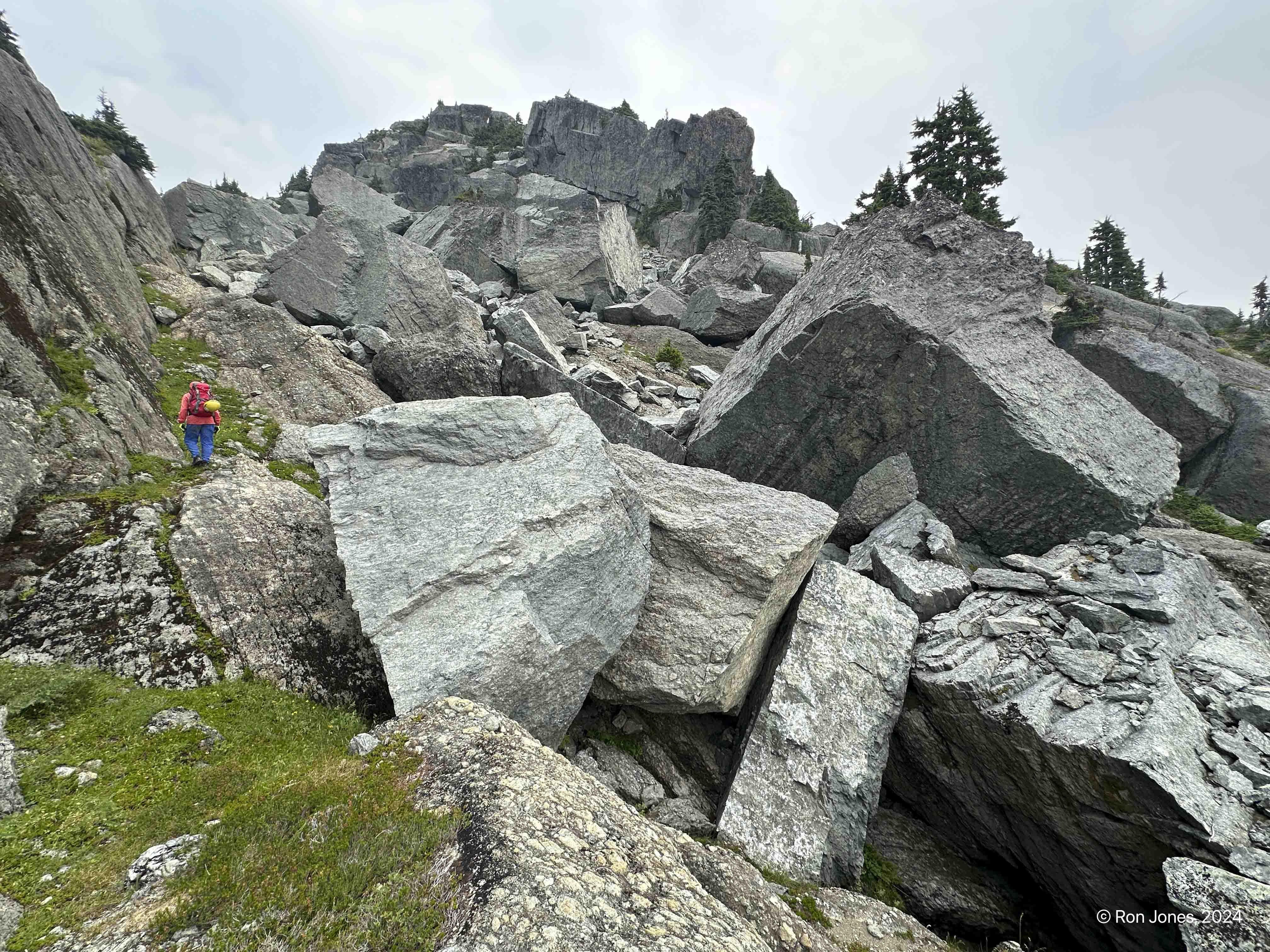
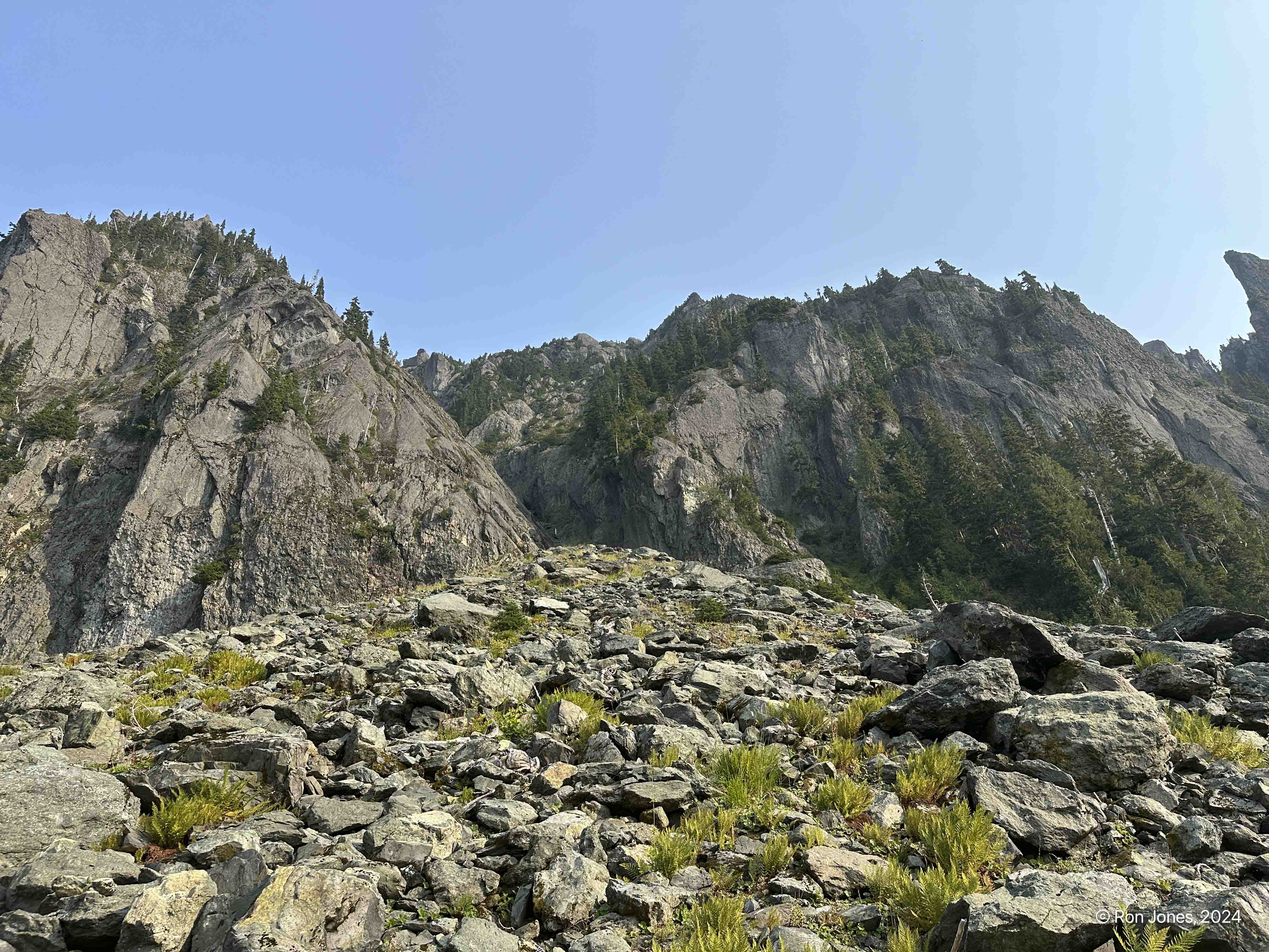
As we had approached the peak, some very large gullies seemed the obvious route, and tracks I had via peakbagger, confirmed this. The terrain more or less funnels one to the summit block. The large gully or gullies, come before the jolly green giant boulder field.
We are now focused on finding the summit block route. Maybe a bit too hyper-focused Technically, this is our second whoopsie. We are both pretty fatigued, I think I am much more fatigued than Lon. I’m using the gps tracks to help guide us. The one track is from Jed, who climbed in February, 2021. He looped under the east side of Lincoln and ascended a chute to end up where we are now trying to figure it out. The problem with gps tracks is they drift, so when it comes to micro routing, they aren’t all that useful.


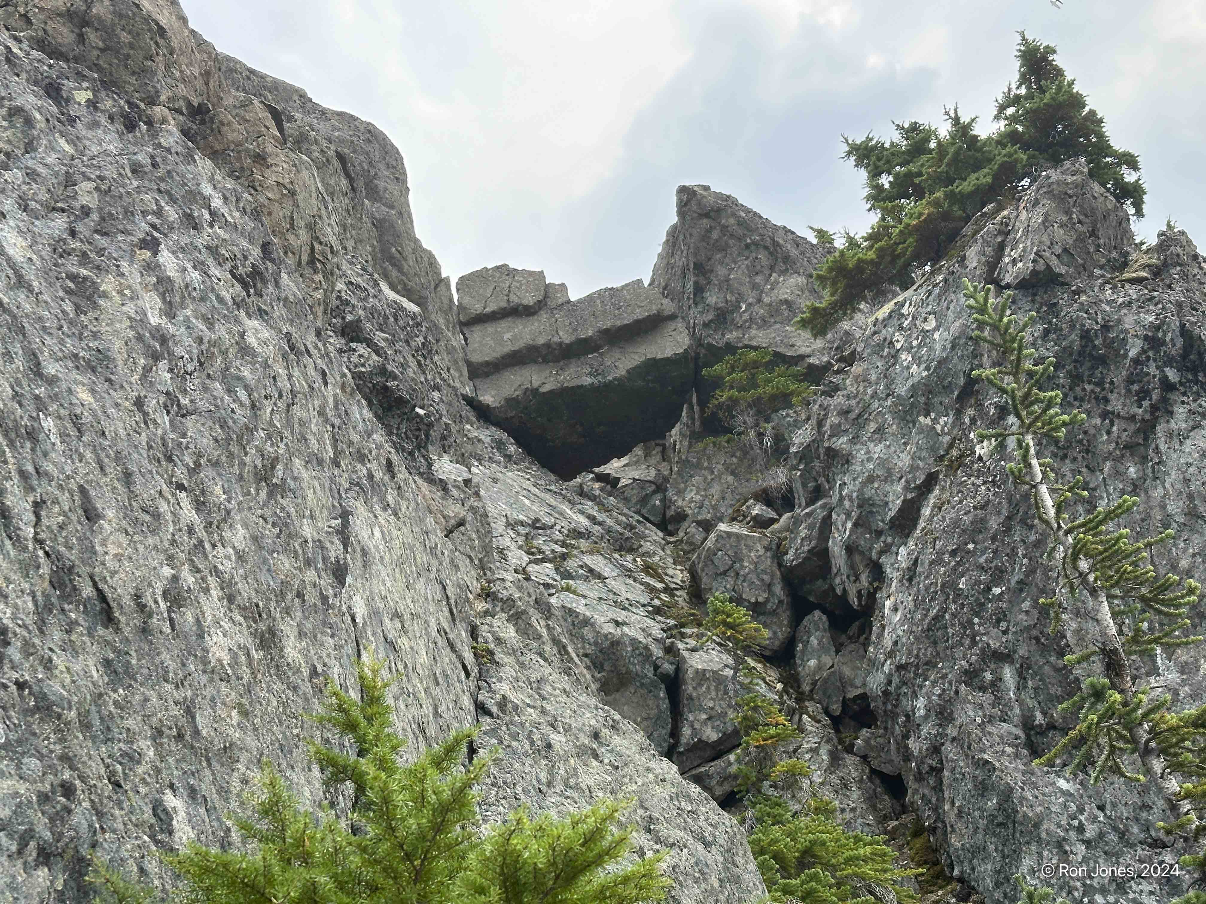

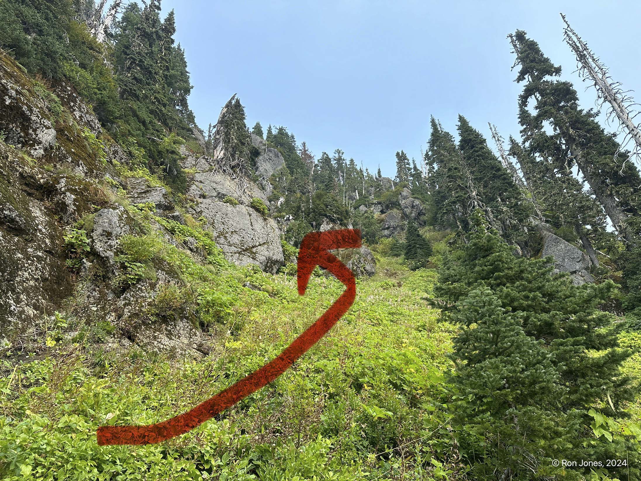
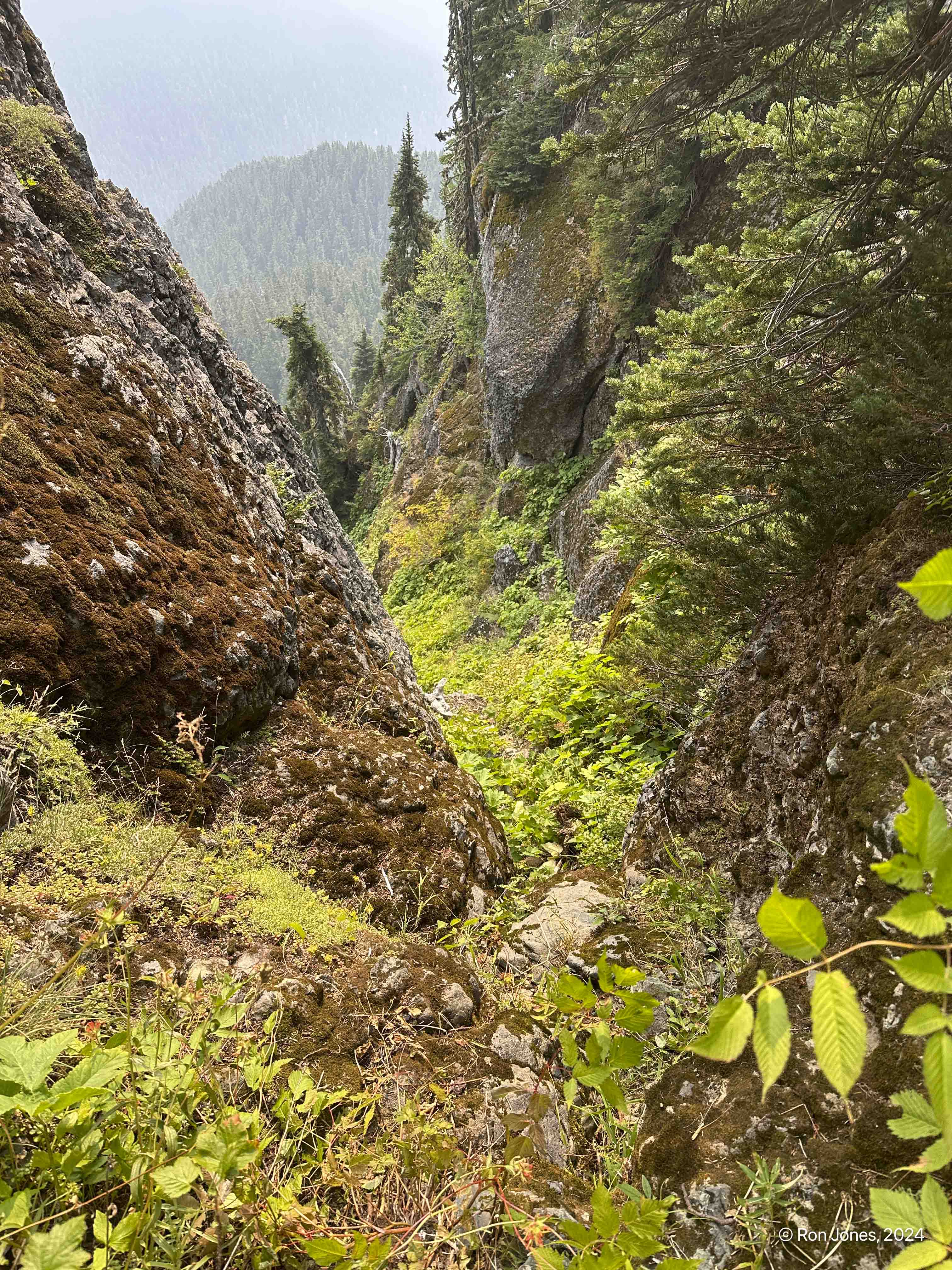
It was 2PM and we’d spent about an hour trying to figure out the route. Nothing looked friendly. Everywhere we looked seemed like a low 5th class, maybe 4th. We started to go up toward the chockstone gully, but the lower moves didn’t look great. But we didn’t really get right up next to them. I think the long day up to that point, and the fact we still had to find a way down, back to a trail before dark at 8PM weighed heavily. Lon had taken a chute down and followed Madeline Creek back to the trail, but said it was sketchy. As we began to retreat south on the ridge, we found a couloir about ¼ mile south of the summit. It descended to a basin, one ridge from Flapjack lakes. It didn’t look fun but it was our best option. We took a decent break and began descending at 3PM
The ridge over the Flapjack Lakes was not trivial. It was just as steep as anything we had encountered, and it was easy to slide backwards. It’s really not for the faint of heart. Both sides are steep. We descended to the trail just a 5 minute walk uphill from Flapjack Lakes. It was roughly 5:50PM when found the trail. 12 hours since starting our day. The lake campsites weren’t too busy. We chatted briefly with some backpackers just arriving. We descended at a decent but not super fast pace. We had to use headlamps just before 8PM and maybe 15 minutes before intersecting the Staircase trail. Once on the main trail it was much more mild slopes. It took another hour and 40 to get to the trailhead. We arrived at Lon’s truck at 9:40PM.


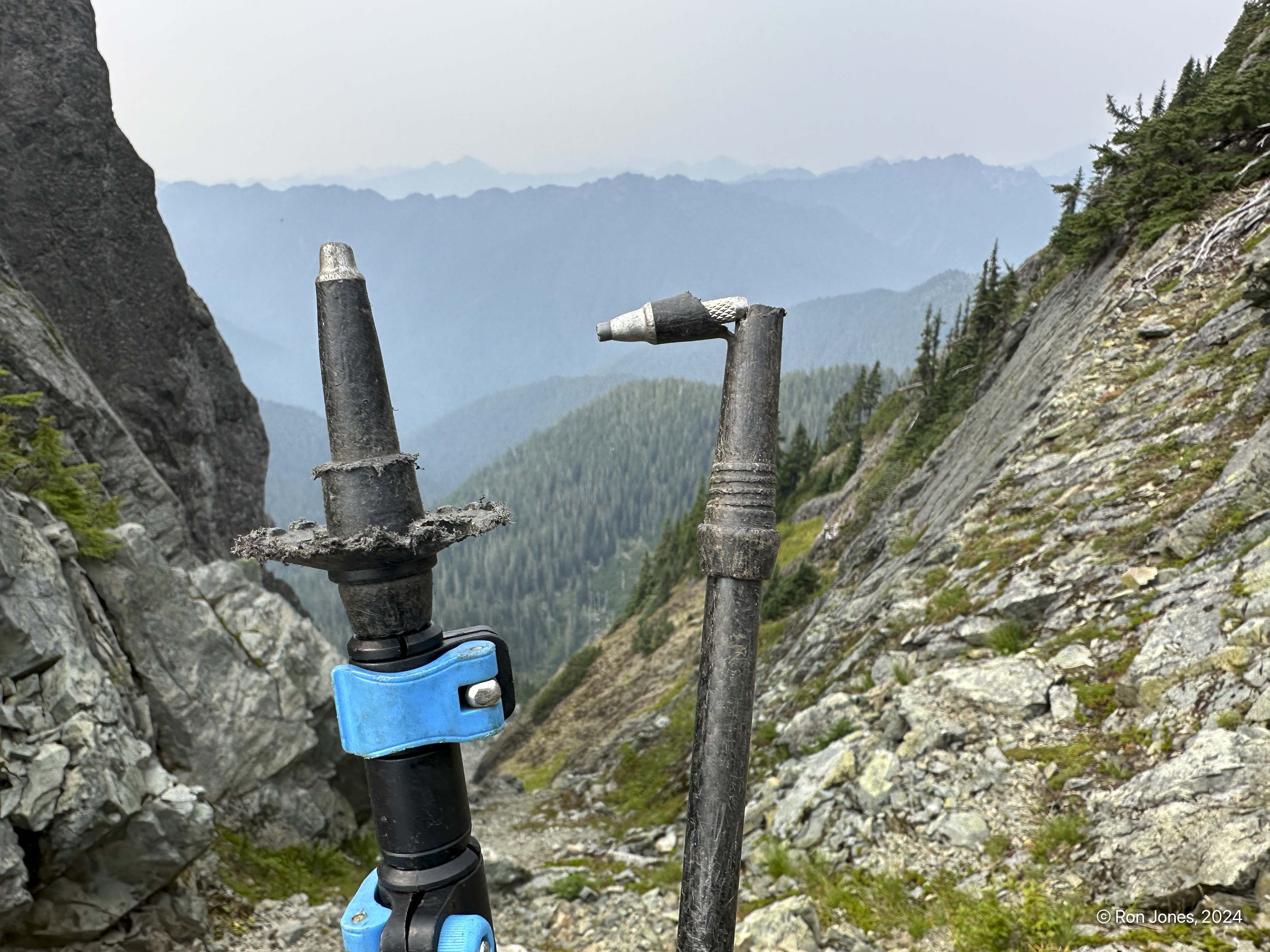
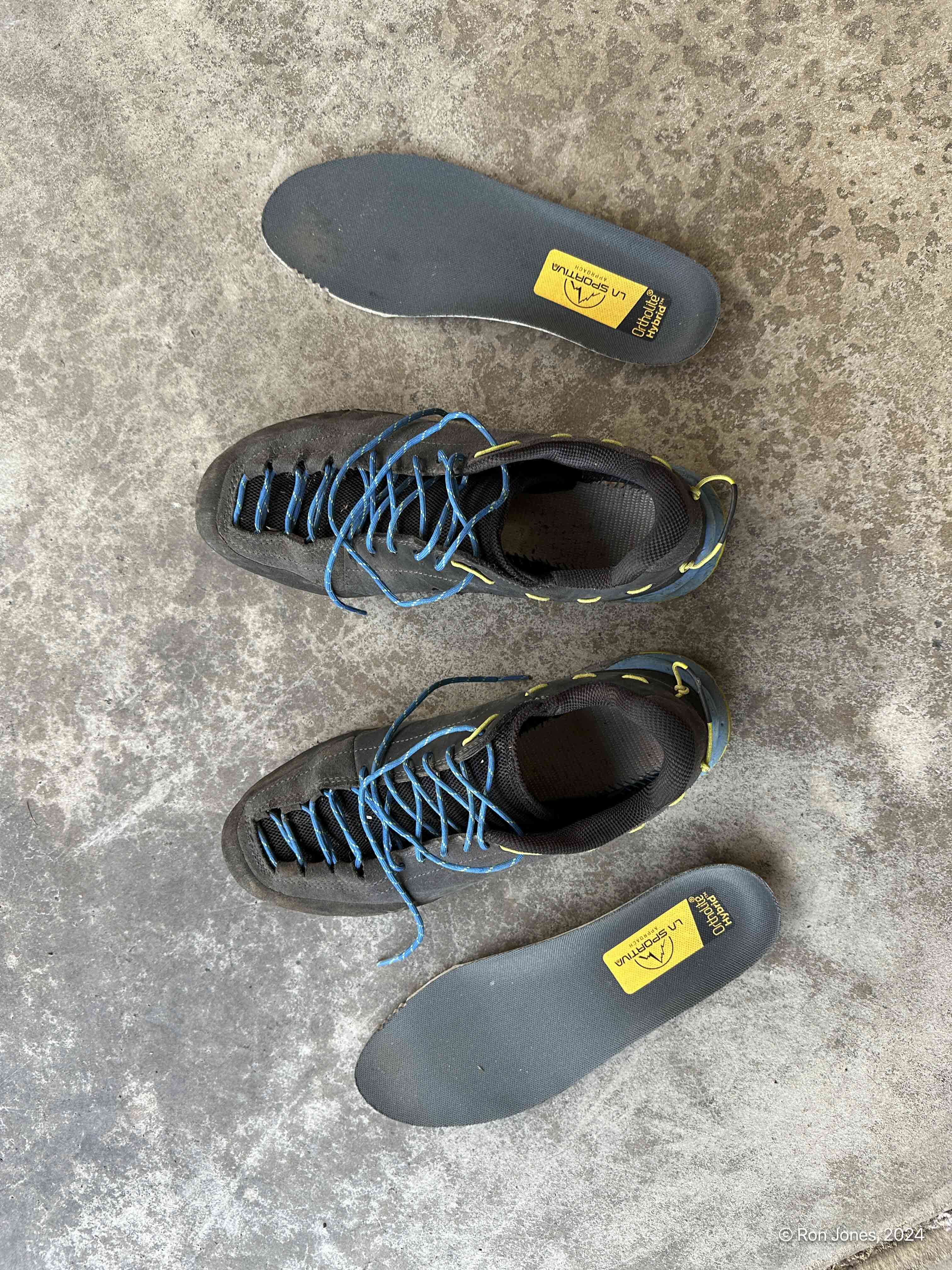
I wore my approach shoes for this scramble. It was a big mistake. I’d purchased them back in June, thinking they’d be good to supplement my trail shoes. Kind of use them opposite of how they are used traditionally. Normally, they’d be used to approach a climb where one changes into mountaineering boots or rock climbing shoes. I was thinking I’d carry them for the tough, rocky scramble sections and use trail runners for the approach. But I really wanted to give them a test.
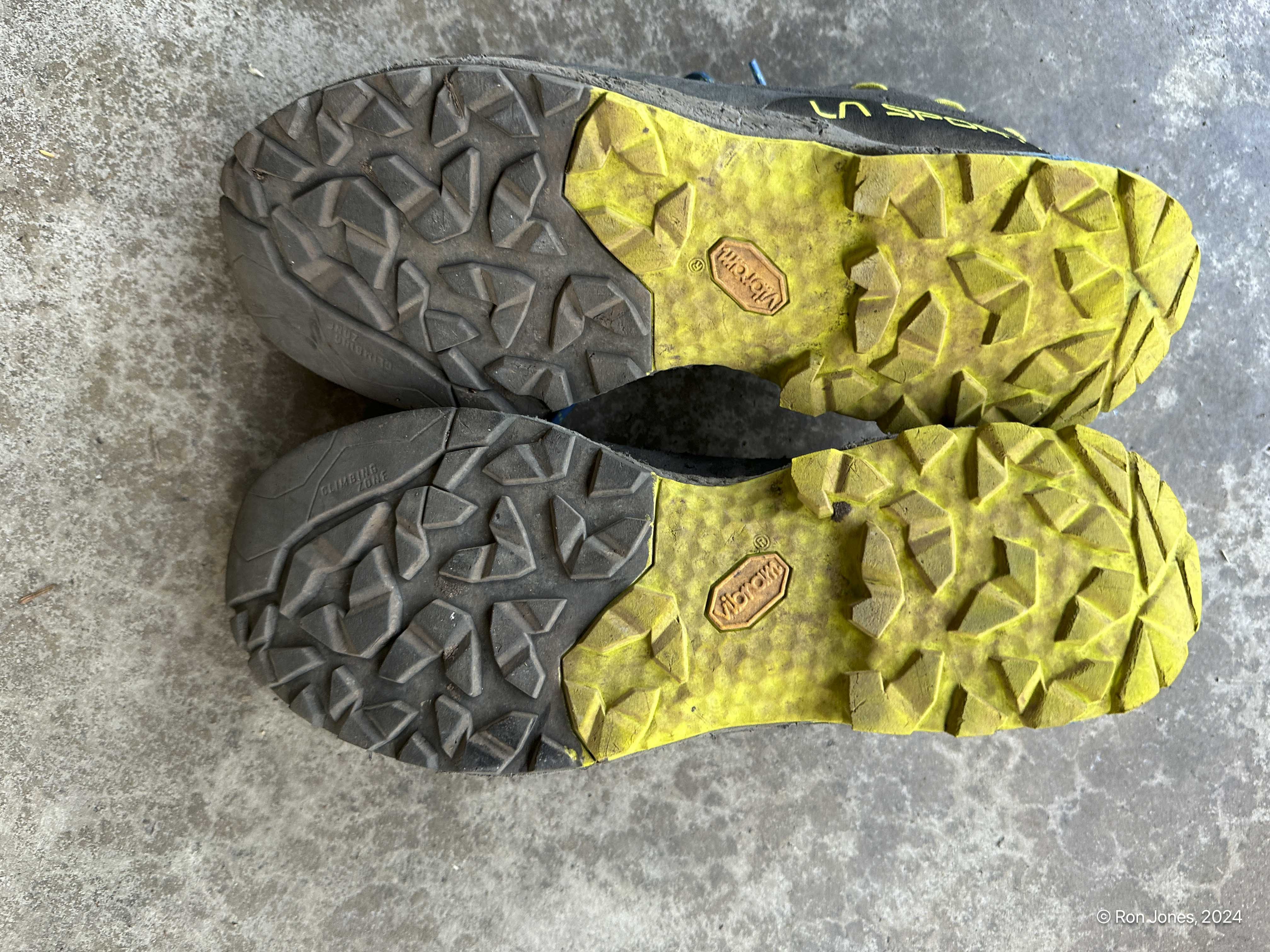
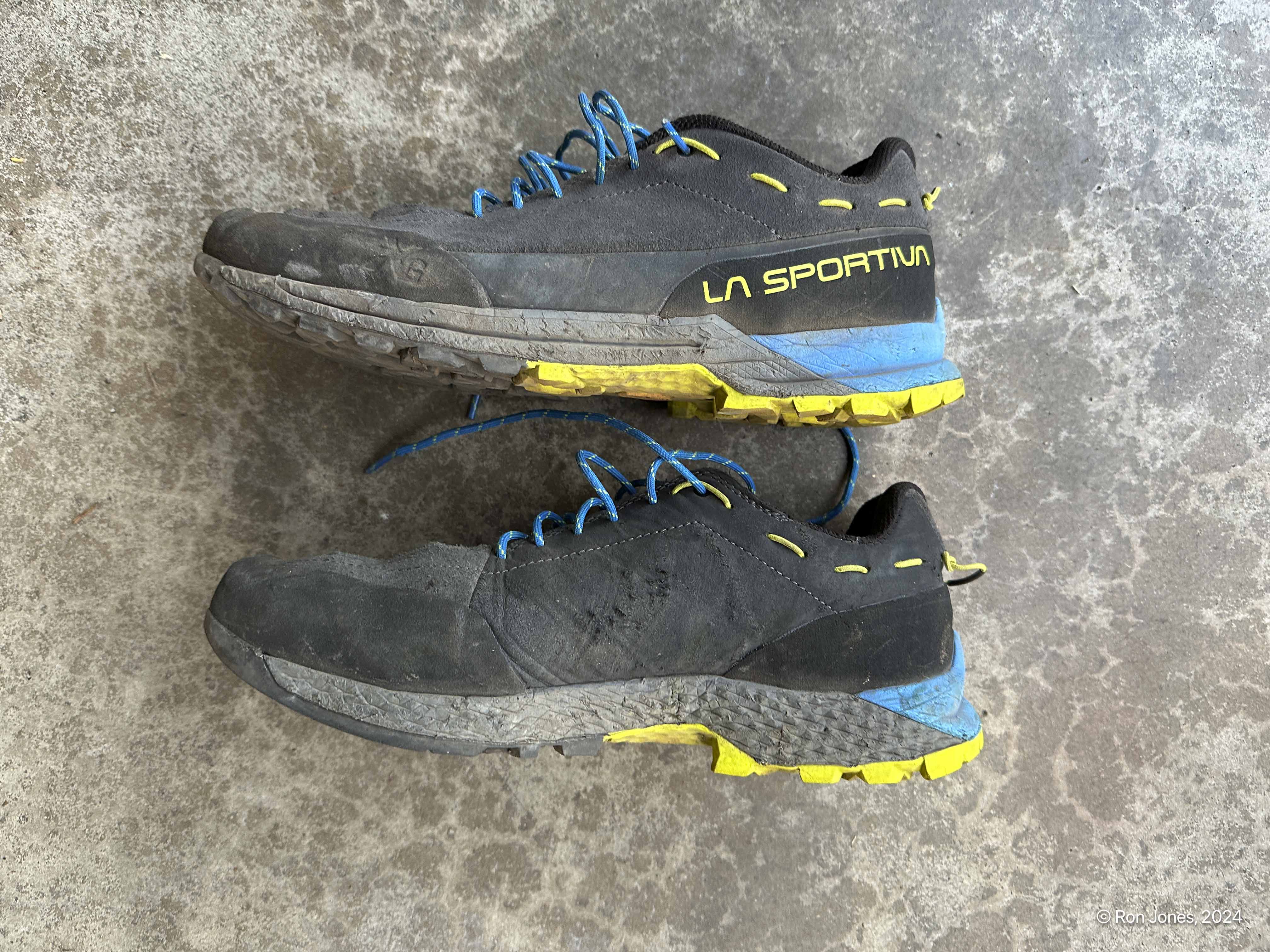
On rock, they were awesome. But the fit is too narrow for my wide feet. They were very uncomfortable. As some point on the climb up, I had to remove the liners to give my feet more room. I regretted not wearing my LaSportiva Bushido III’s, Hoka’s, or my Asolo boots. I love the traction they gave on everything except loose duff. But just too tight on my foot. No blisters luckily.
Summary and Closing
I’d consider this a doable one-day climb. Obviously some do it. I was really bummed to miss the summit while being so close, but it’s better to have the change to go back, than not. After spending a day thinking about it, I really wanted to try on the climbers path (Craig W’s route) Thursday after our Saturday. Lon convinced me Tuesday was better weather. But on Monday, I contacted a friend in the Lake Cushman area. They’d had morning dew and this was not a trip to do when even mildly damp. After discussion with Lon we opted to not try. I was still quite fatigued too.
My opinion is that the trip is best done in very dry weather with no less daylight than we had. Taking the correct ridge up is probably the best option for a single-day summit. And doing the loop similar to what we did. But be prepared to bivy. Hence go when it’s not cold overnight so you can keep pack weight low.
An overnight from Flapjack is an option.
This may have been the most relentless single day scramble I’ve done.

