

August 31 – September 2, 2024
Lena Lake Trailhead to Lake of Angels Trailhead by way of St. Peter’s Gate, Lake of Angels, Hagen Lake, and Mount Skokomish
This would be my third time completing a variation of this traverse. Last year my buddy, Lon and I did the single day push including Mount Bretherton in 16 hours car to car. We met Abby along the way who joined us. Then a short time later, Jean and I did an out and back overnight from Lena Lake TH to a small lake above Scout Lake. Still need to write up that trip report. The area is beautiful and has a lot to offer – but mostly solitude.
The image below shows our route. Each color is a different day. It clocked in at 25 miles and 9,000′ gain over 3 days and 2 nights. That included a bonus car ride for one half of the 4-mile road walk at the end.
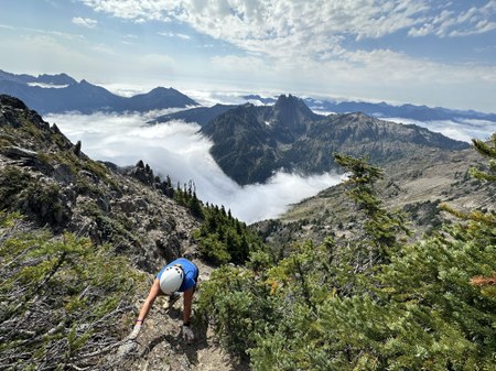
I led this trip as a Mountaineers scramble/backpack. It’s mostly a backpack but getting through the old glacial basin of St. Peter’s gate below Mount Stone to Lake of Angels is definitely a scramble. As is the descent off the ridge west of Lake of Angels over to Hagen Lake. And then of course, any peak along the way is going to be a scramble.
Originally I was thinking Jean and I would do this as a private trip, but since I’ve not been leading many club trips I decided to post it. I think I posted it late Tuesday or early Wednesday for a Saturday trip. And thankfully, a fellow scrambler out of Seattle’s branch who I’ve scrambled with decided to join us, so it was official. You can find my club trip posted here. This blog post will mostly mirror my club report but include some additional details.
Route and route conditions
Most of the route is in great shape, but there are a few moderate to very challenging sections. It’s a mix of maintained trail, way trail, and then legit scrambling on loose material of all types and sizes. The Scout Lake way trail west of Upper Lake Lena to St Peter’s Gate is overgrown but pretty easy to follow most of the time. Water sources were never too far apart.The most challenging section is getting through the old glacial basin and moraine up to St Peter’s gate (saddle east of Mount Stone). Comfort in very loose glacial material with a permanent snow/ic field is a must.The route over the west ridge from Lake of Angels has nice boot paths that lead to three, roughly 20′ non-trivial down-climbs. Two downclimbs are only 10′ apart – so choose your adventure. No rope was needed, but some might like a hand-line going down. It’s ¾ mile across a roughly 35 degree slope on varied terrain to the the saddle and Great Stone Arrow above Hagen Lake.

The route to Mount Skokomish is a typical class 2 and 3, maybe 3+ is spots, Olympic Peak scramble with a mix of side-hilling, contouring, talus and generally rotten rock. The upper steep section of Lake of Angels (Putvin) trail is in rough shape. The lower 1.5 miles are in good shape.
Getting Permitted
I obtained a backcountry camping permit by calling the Olympic National Park wilderness center and requesting Hamma Hamma cross country and Hagen Lake. Upper Lena is a quota area but a mile past it, is open country with no quotas. I actually had 2 nights for Upper Lena that we ultimately reallocated to cross country permits.
The Plan
The plan was to do a loop from Lena Lake trailhead in 3 days, with the option to scramble various peaks along the way, time permitting.
Day 1 started at Lena Lake trailhead at 8:30AM. I’d originally posted the trip to be at the trailhead at 7AM. And early start would give us time to scramble peaks along the way. And it was predicted to be hot, so an early start provides cooler weather. It was definitely hot. And humid too. Upon discussions with Drew who was coming from Redmond area, we decided to push back the start so he didn’t have to wake up at 3:00AM. We ended up meeting at the Martin Way park and ride at 6:30AM. It was about an hour-20 to the trailhead.
We ascended the 7.5 mile long trail gaining 4,000′ to Upper Lena Lake, arriving at 1:00PM. The last 1.5 to 2 miles of trail is more boot path than trail. There are plenty of sights to keep our minds occupied, like this rather large tree.
Just past the lower lake there are some nice big trees. Drew took a moment to give his respects.

We took an extended break and enjoyed the time at the lake, and discussed the option to scramble Mt. Bretherton and Mt Lena. We quickly ruled out Mt. Lena, even though it would be on our way, because of southern full sun exposure. We were already feeling it. Our thermometer read 80 degrees. While Bretherton is a fun scramble, we estimated our arrival time at camp would be much later than desired so we opted to just continue to camp and be rested for day 2.

On the west side of Upper Lena Lake we picked up the Scout Lake trail. The trail is pretty easy to follow but also quite overgrown in spots. It’s a great ridge traverse with fantastic views of the west side of Bretherton.


While it didn’t require serious navigation skills, it was still slow going. Lots of ups and downs, brush bashing, and did I mention it was hot. And slowed even further by an abundance of the sweetest wild blueberries ever. The entire 3 miles of way-trail was blueberry heaven.

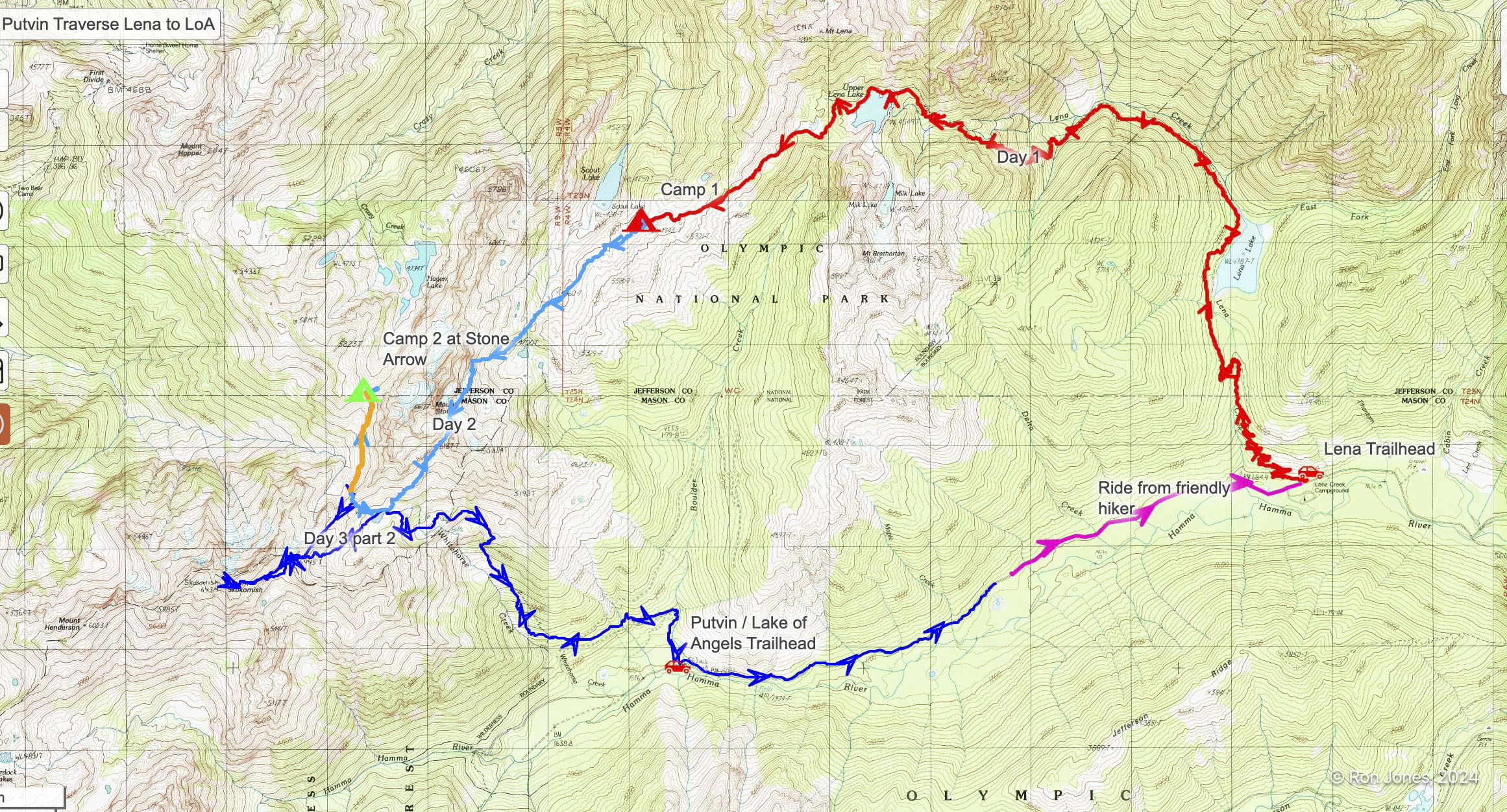
We arrived at camp near a small lake above Scout Lake and made camp. We could see St. Peters gate. We ended the day with 10.5 miles and 5,000′ gain in 9 hours. While cowboy camping was preferred given the the clear warm night, the protective layer of a tent kept the ravenous mosquitoes at bay.

Day 2. Even though we were up and making coffee early, we took it a bit too leisurely and began hiking around 8:30AM.

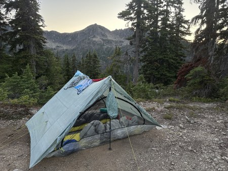
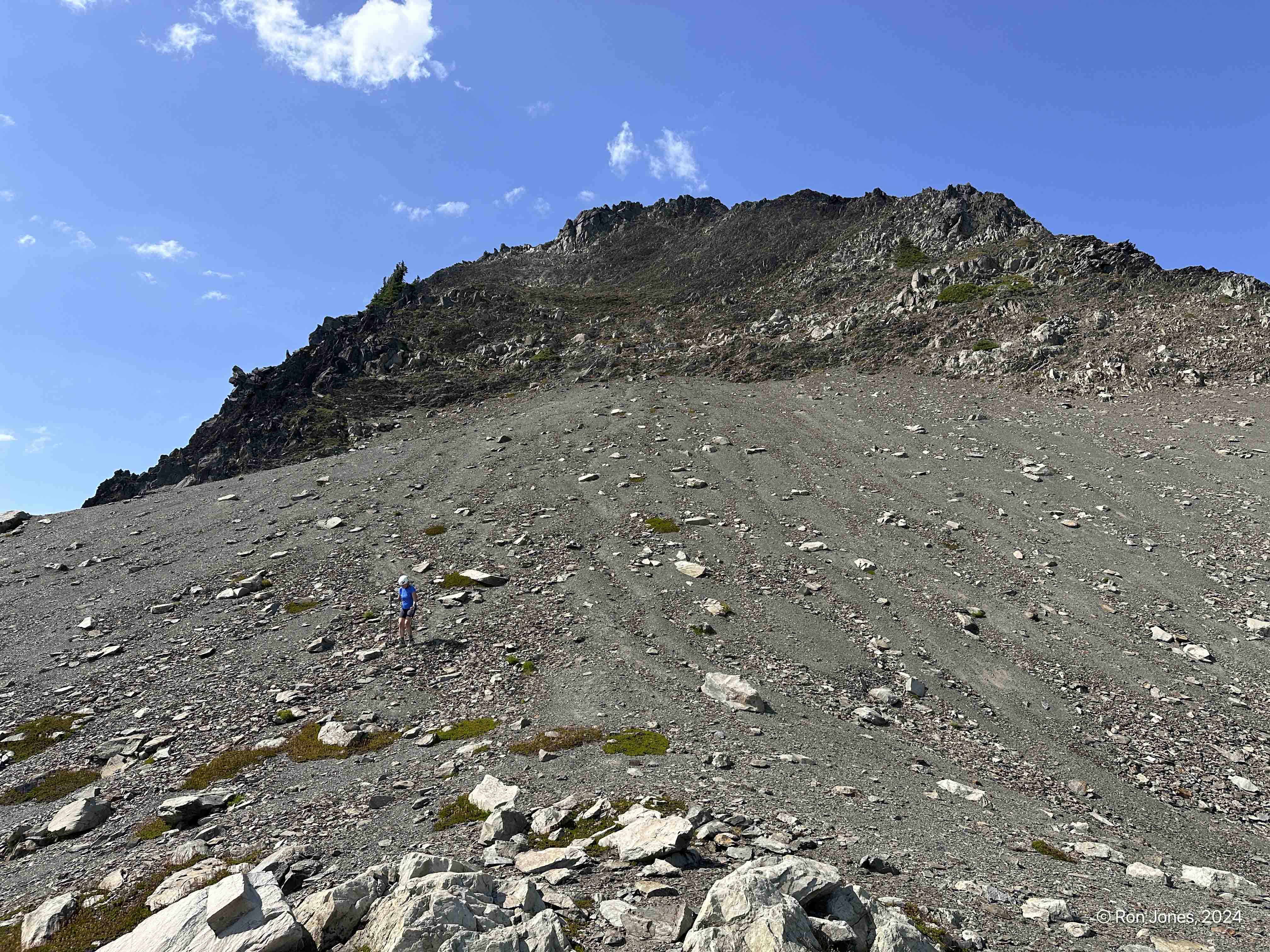
It had been a clear night and quite warm. It was only a mile to where the way-trail ended the the scrambling in the old glacial basin began.
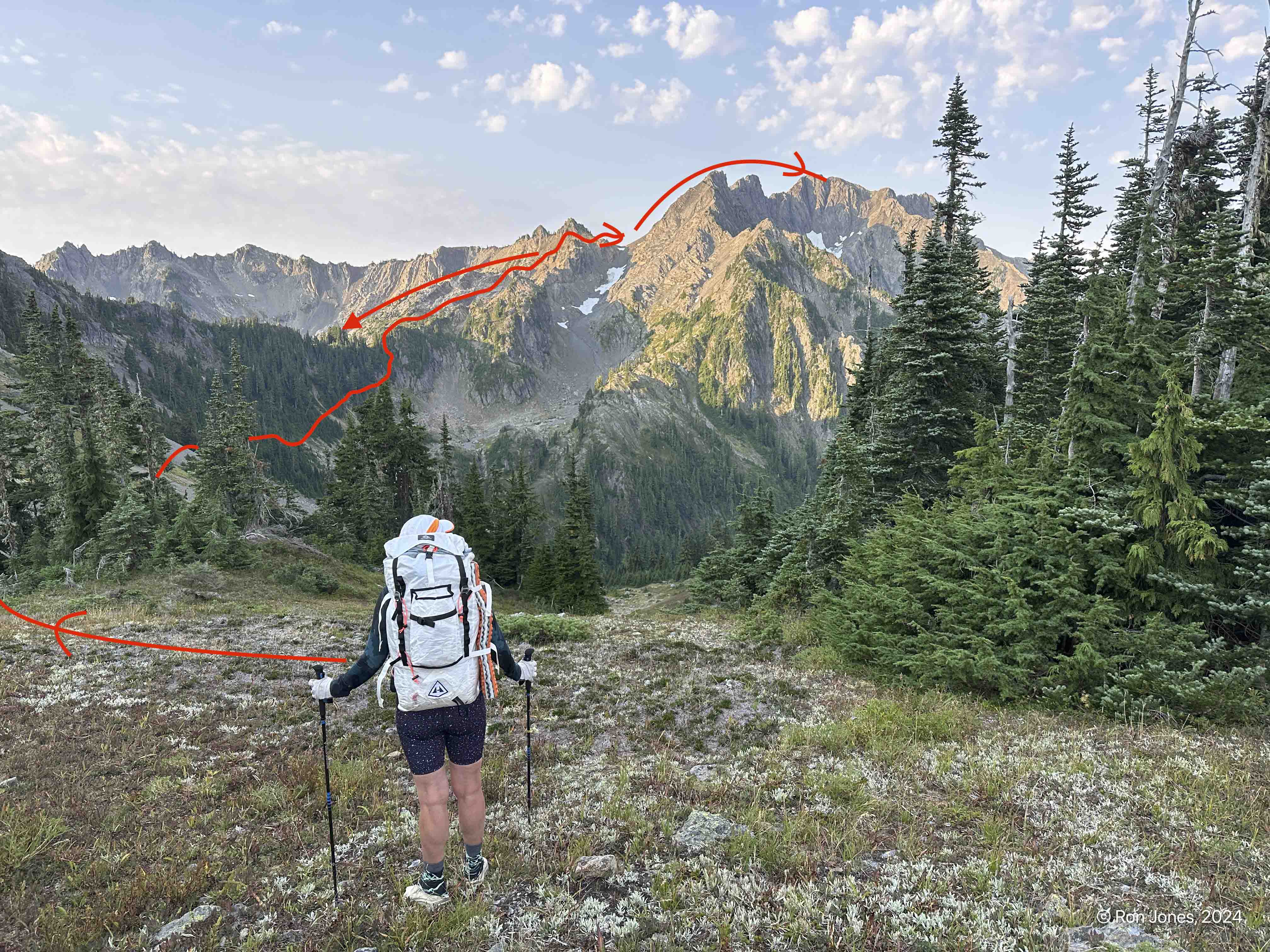
The blue line was last year. The red line was our route this trip. The best would be redline to top of spine then blue to the saddle about where they cross.

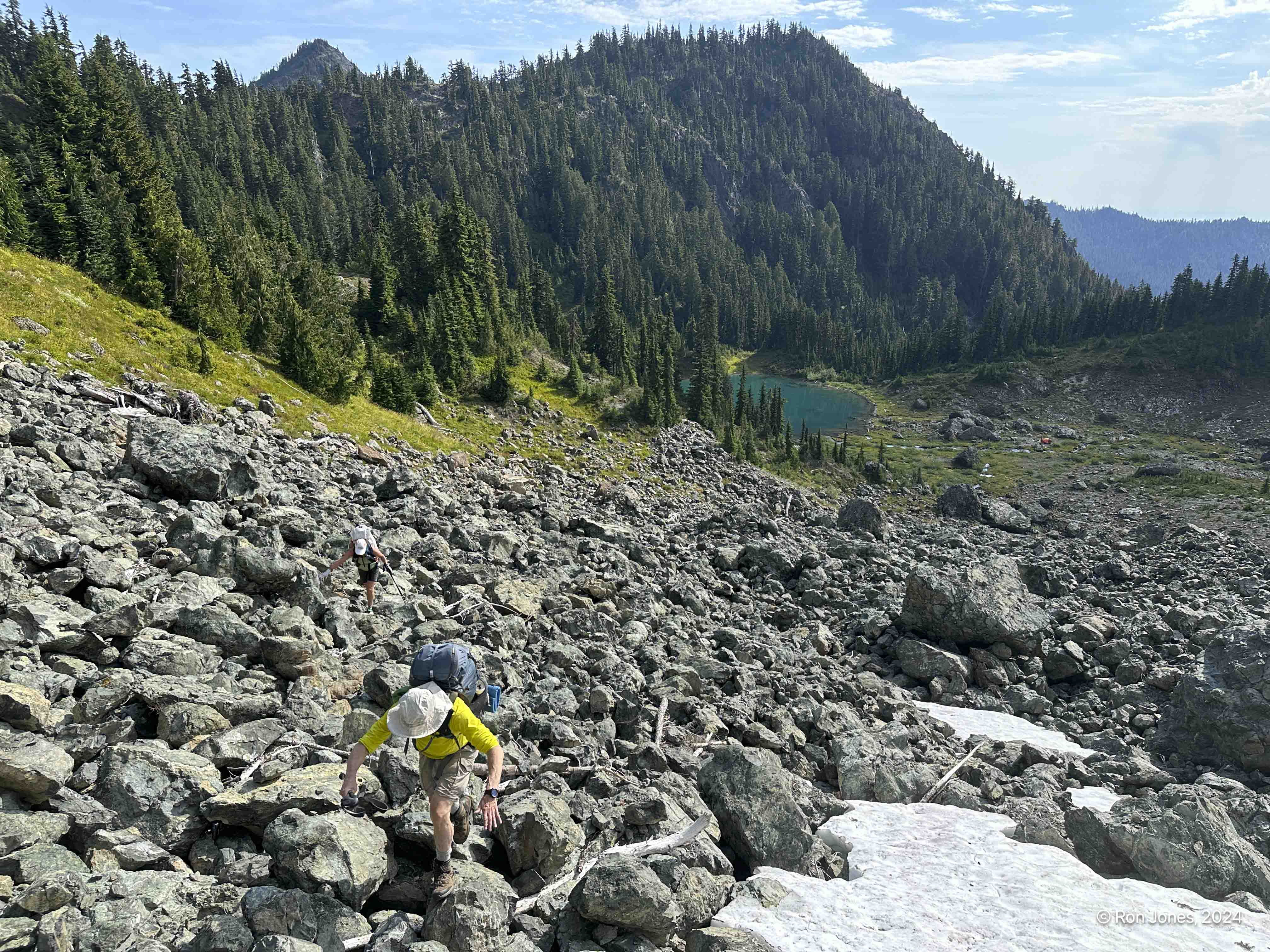
It turned out to be more challenging than expected. I’d done the full 22 mile loop last year in a single 16 hour push on a private trip. That write up is here. But the difference of heavier packs with overnight gear and food, heat, and even less snow made it slower. Last year my private trip went up the loose scree. We wanted to avoid causing rocks to rain down, so chose the spine on climbers right. It was the correct choice.
To access the spine, traverse up the talus (right of middle tree) to gain the top of a waterfall (green patch above small clump of trees beyond Talus). Continue on this spine with a hidden snow field on your right. You’ll know when you get to the end of the spine. It’s mostly class 2+.
Up the talus

This monolith of a rock is visible in the images above. A big dark spot just below the saddle. It’s quite impressive.

Nearing the end of the spine with the hidden snowfield that feeds the stream running down the edge of the talus.

This is hard pan with kittly liter and and loose rocks. Stay high and drop off the far end. It is steep to get down when no snow.It was quite tricky.

The preferred route this late in the season is to stay high and work across the top of the snow finger. It looks terrible but as you near you’ll find it not as intimidating. Last year we walked across the very top. This year looked icy clean. But we noticed later there was a nice dirt path above it. After the snow, angle and climb as the terrain allows.

The group preferred the look of the talus on the east side of the basin so we agreed to cross the snow on a low angle.

The lower half of talus was great. The upper half was absolutely treacherous. It slid like scree only the rock chunks were sometimes the size of a small or large suitcase. It took some time to navigate. Drew did a great job of leading and creating some secure footing.

After a short break and photos at St Peters Gate, we descended most of the way to Lake of Angels and crossed the ridge toward Mt Hopper. The descent to Lake of Angels is not trivial. It’s steep up top and starts with kitty litter on hardpan and transitions to loose ski-scree, followed by a typical boot path of mixed terrain. It had taken us 5 ours to move a couple miles. The terrain was very decieving.


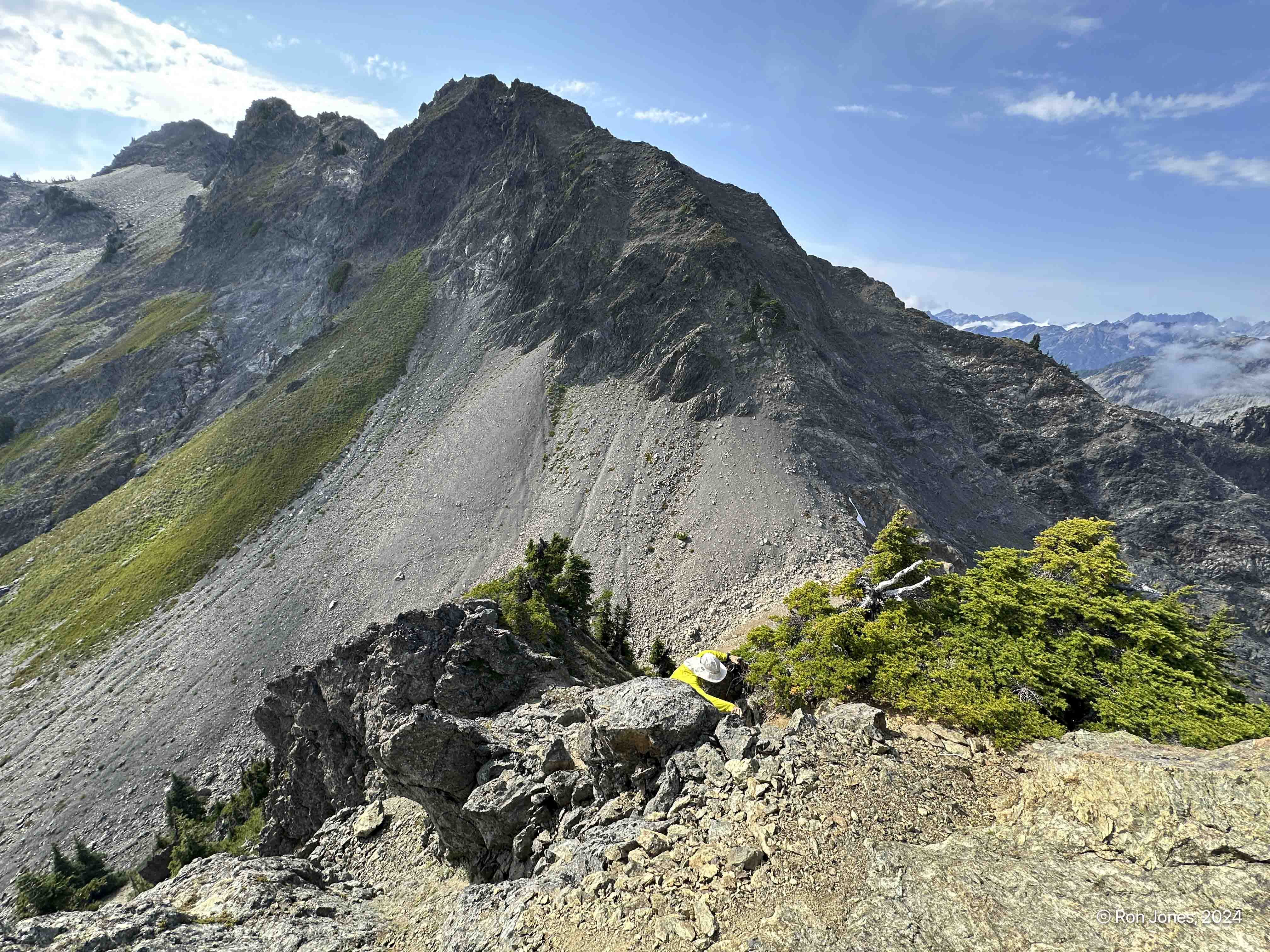
Climbing the ridge west of Lake of Angels was pretty easy. The downclimb to the other basin is a bit challenging. It’s about 15′ of near vertical root, rock and dirt steps that lead to another loose scree path, which ultimately transitions to a ¾ mile traverse to the saddle above Hagen Lake.


At the beginning of the day, we had expected to make camp early and tag Mount Hopper. It ended up taking about 4 hours to go from St. Peter’s gate to the saddle above Hagen Lake, so Hopper was off the table. There was a great water source streaming off from the west side of Mount Stone, and just 200 yards from our saddle, so we opted to camp there instead of the lake. With a little breeze it would help beat down the bugs, which weren’t too bad until about dinner time.
Amazingly, we only made 5 miles on day 2. Some challenging terrain and heat really slowed us down. The stats of 5 miles and 2200′ gain just didn’t make sense for another 9 hour day.
Over dinner we decided that tomorrow we’d tag, or attempt to tag Mount Skokomish before dropping to the road and car. We agreed to start earlier, ideally moving at 7:00AM.


Day 3. We got a better start, but not 7:00AM, but closer to 7:30 – 7:45. The plan was to go to the saddle to access the contour around the backside of Mount Skokomish, tag the summit and descend to Lake of Angels and then down the trail to the road. And that’s what we did.
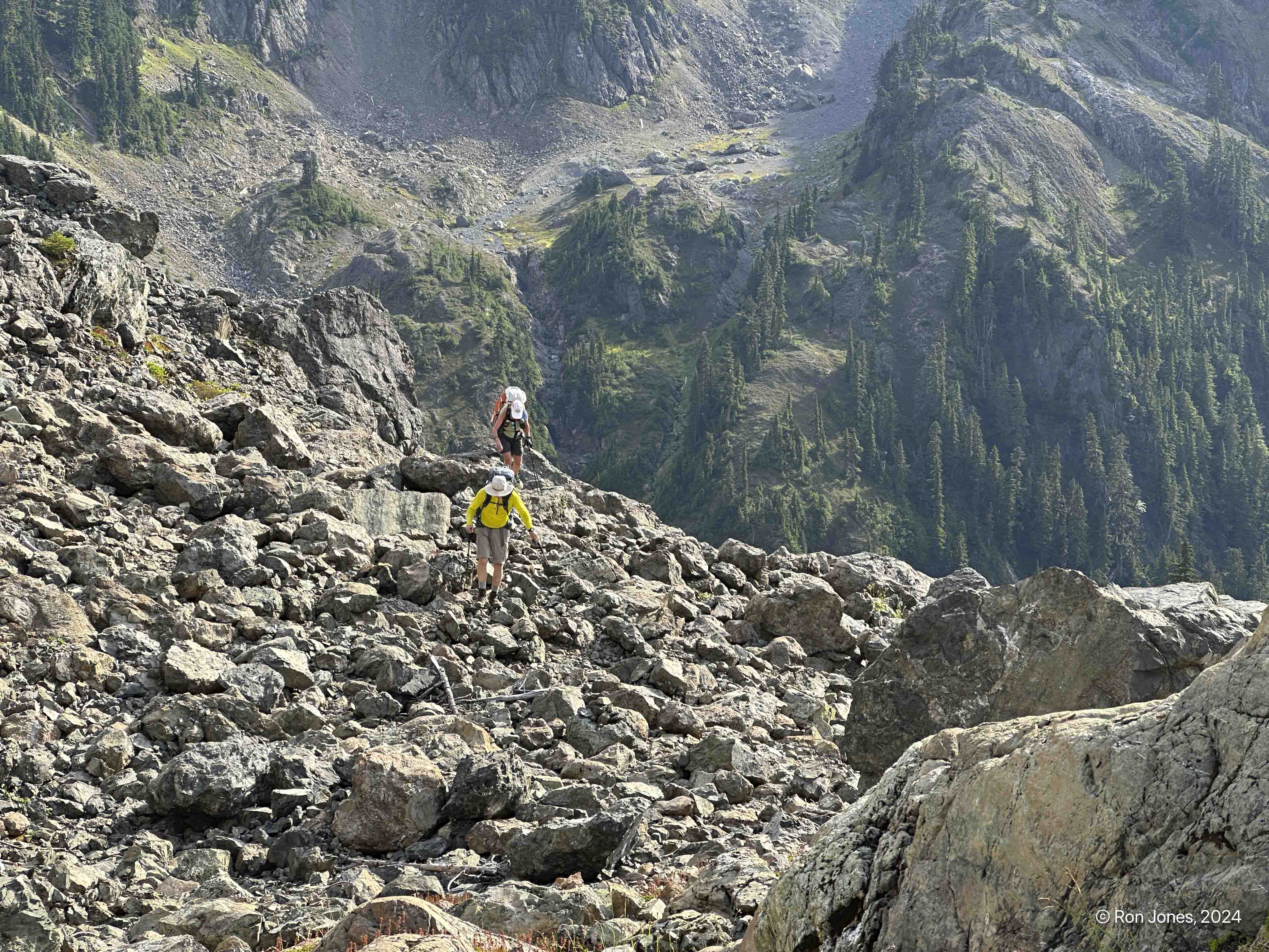
The red line shows our general path. It’s pretty straightforard to the saddle. We stayed high above Lake of Angels to the saddle. The contour around the SE face of Skokomish is a bit challenging but mostly class 2. We used a low/mid path versus going up high to a headwall.
Ascending to the saddle

Picking our way along the slope to Skokomish

Finally on the rotten rock, but at least there is some grip, unlike the loose kittly liitter on the slope below.

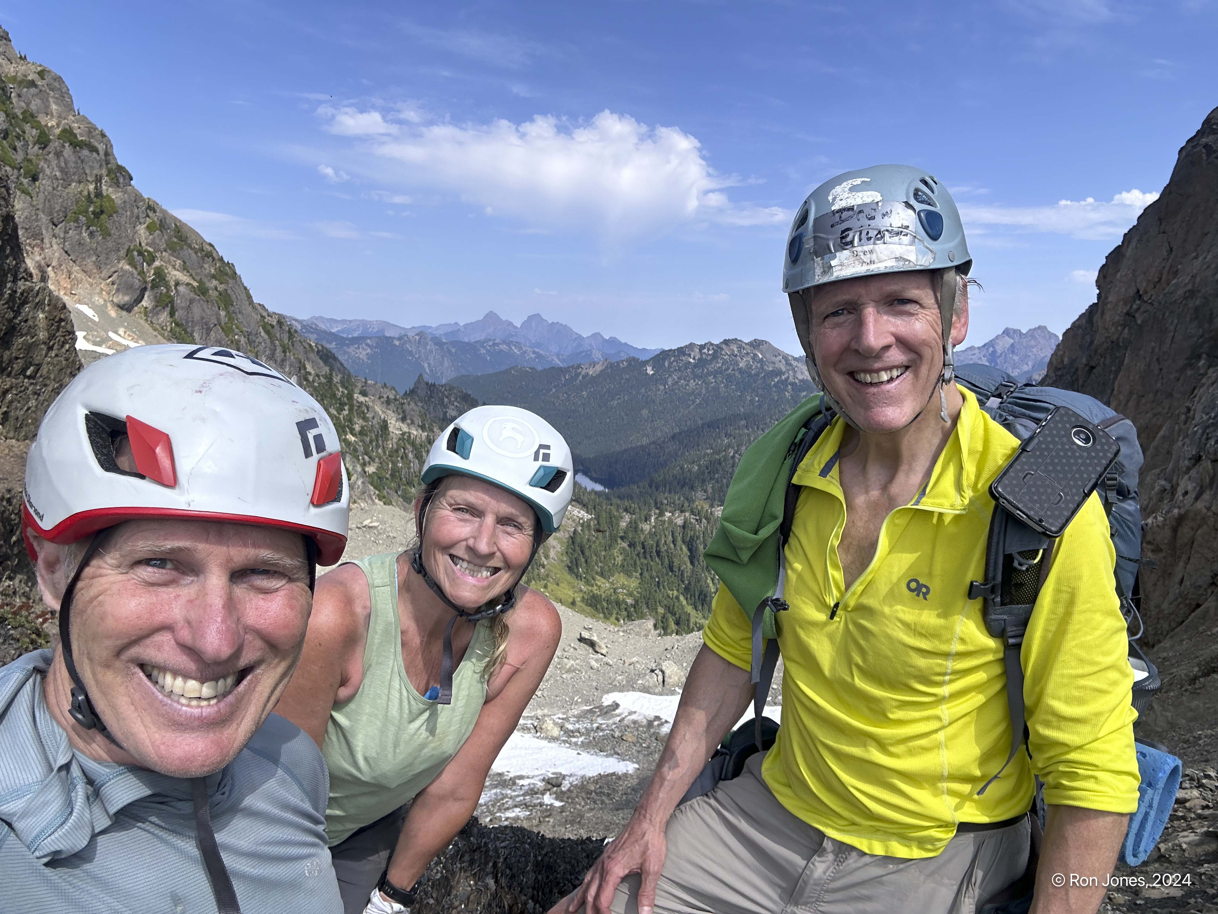
Summit of Skokomish


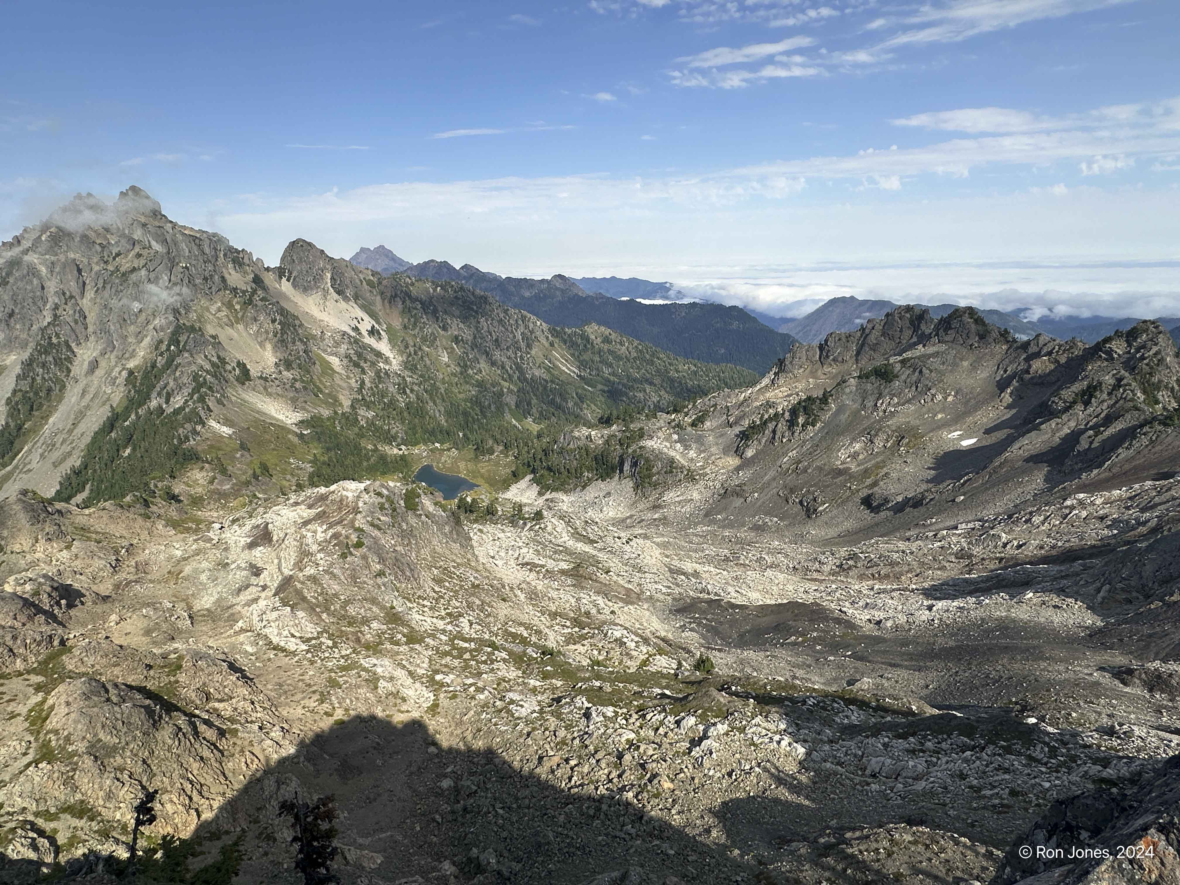
Looking at the ridge, and north face that makes up Mt Skokomish, with Mt Stone (2 bumps) on the left and in the far distance, the Brothers.

Returning to the saddle we dropped into the gully and avoided the loose side hill option. It was much better to go low.

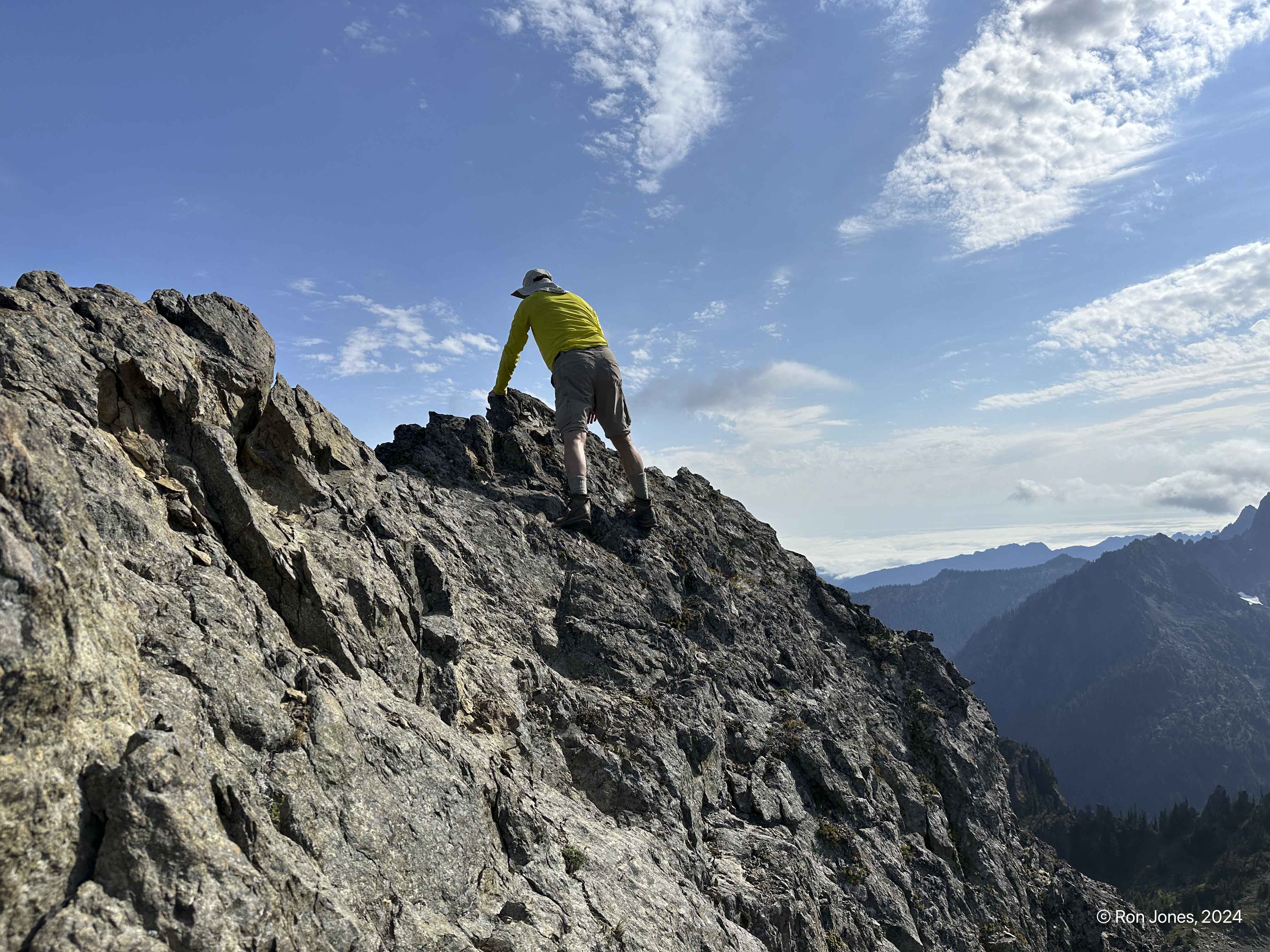
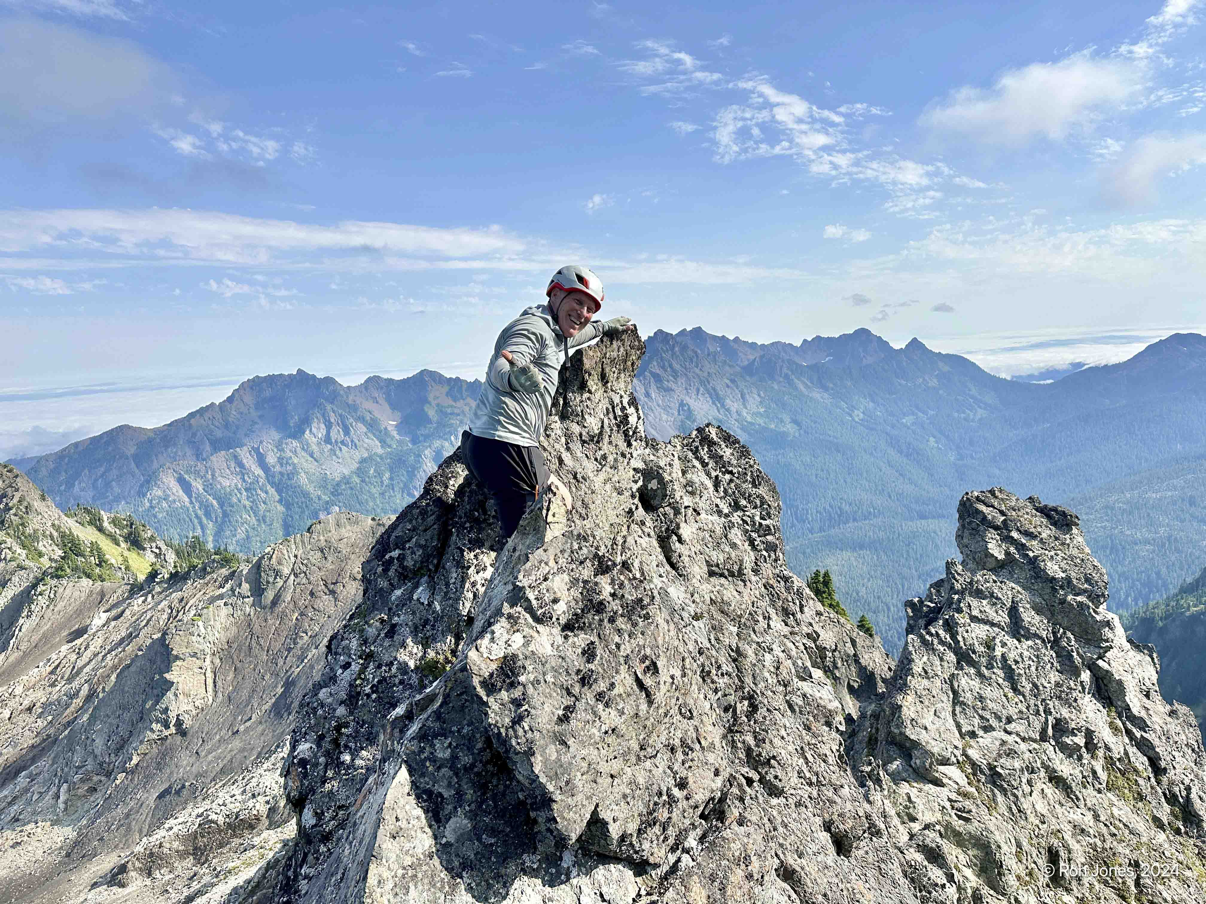
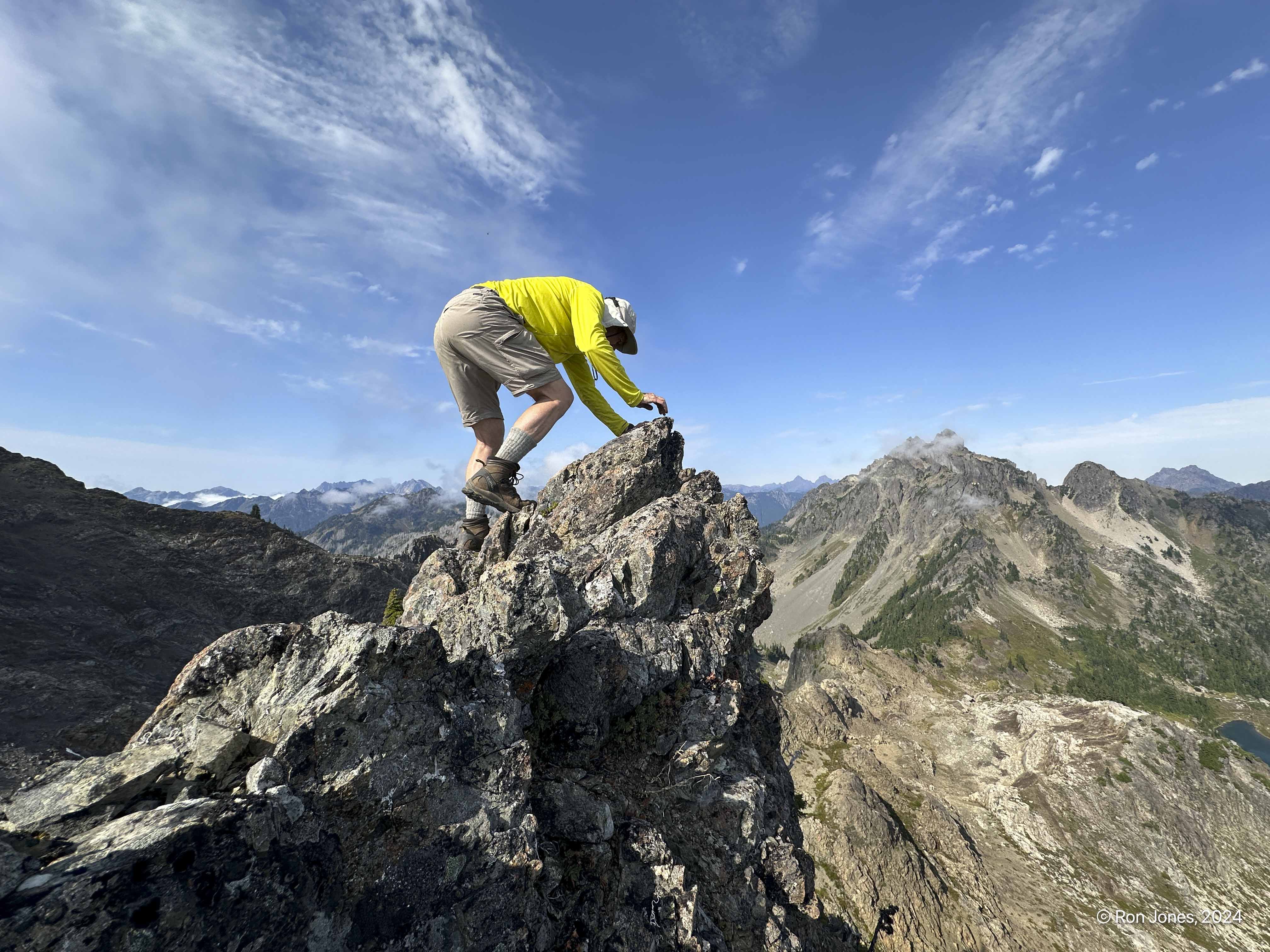
We took a break in the saddle , tagged a little bonus peak just above it, and headed down. The bonus peak has a mild pucker factor. I was near the top, and we could see a little spire beyond was about one foot higher. Drew worked his way over and tagged it, then I did it. I require an almost finger traverse, cross the ridge, bear hug around a rock and top the summit. Everything in reverse for the return.


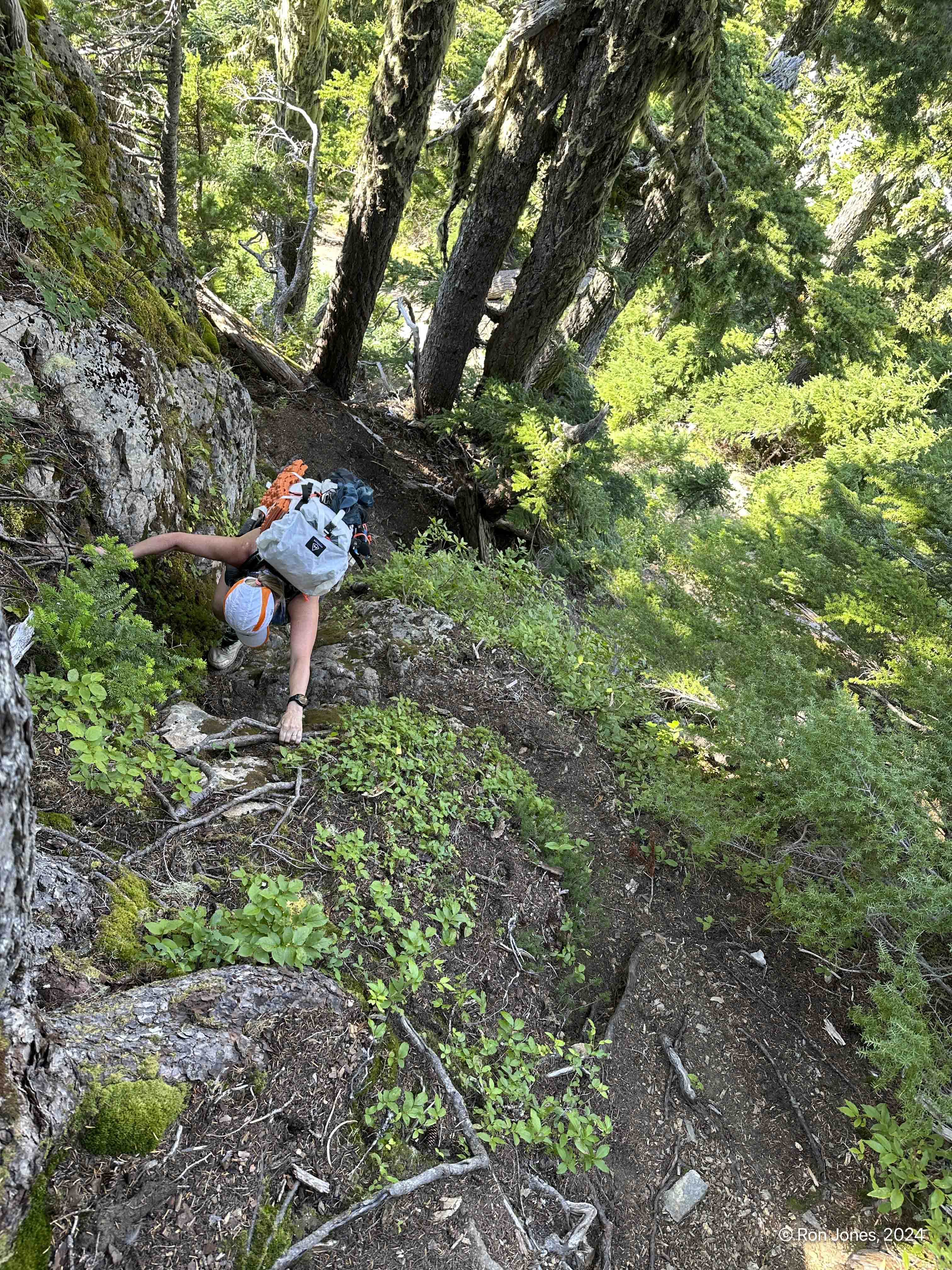
Descending the Lake of Angels Trail is a brute. It descends 3,500′ in 3.5 miles, but a half mile up higher, and at least a mile down lower is nearly flat, plus sections of mild steepness. You get the picture 🙂 There are some neat views coming down. The photo on right below is of Mount Persing (rigtt side). Below, the steep roots section.

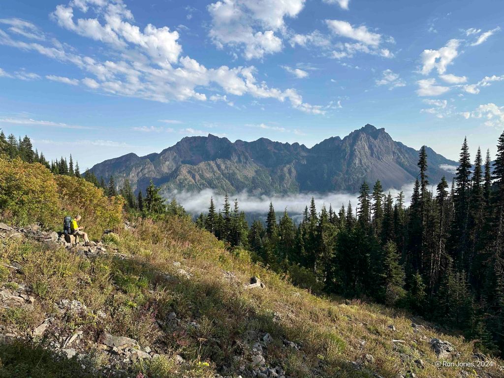

Happy to be off that brutally steep Lake of Angels trail.

We were hoping to find a ride to our car and avoid a 4 mile road walk. Unfortunately, we didn’t get back to the road until 8PM, and by that time only one car was at the Lake of Angels Trailhead. We assumed it belonged to a couple at Lake of Angels. But soon our luck would change, after 2 miles of road walking, a car came from behind. Some hikers ended up exiting late from Mildred Lakes. I was able to get a ride to our car and return for the rest of the team.
It had been a long day, and even longer 3-day weekend. We were stoked to have completed the route and tagged Mount Skokomish. It was my second time up and Jean’s and Drew’s first time. We also got a bonus peak near the Skokomish saddle.
This is a fantastic area and route with lots of options and variations, and six to eight peaks that could be scrambled, including Bretherton, Lena, East Lena, Stone, Skokomish, Bretherton, Hopper, Jabberwocky Ridge and the bonus peak we did. And possibly other bonus peaks.
Once we left the Lena Lake trail we had the wilderness to ourselves, with exception of seeing a few people in the distance such as Lake of Angels. The bugs weren’t that bad.
A highly recommended route for those with the skills to take on St Peter’s gate. Some choose to go earlier in the season with more snow and snow gear, and the opposite direction.

