
Hiking Day 2, Silliman Pass to NE of Copper Mine Pass
It had been a clear night, plenty of stars, and we could see the Fresno Valley. It was quite the contrast – a remote camping site above 10,000′ in the high sierra, yet just outside a sprawling metropolis – akin to taking one’s car to a city overlook at night. I slept okay, but not great. I think I described it as lots of cat naps. But that is normal on a trip like this until fatique really sets in. I was feeling better. I no longer had cottonmouth and I was hacking up stiff yellow chunks. Felt like it had been a reaction to the smoke and was going to clear up.
I do think it important to say this trip report is from my lens and experience. The other three who made up our group of four are solid and very experience backcountry, high route travelers. The three of them have done quite a bit together.

We began waking up shortly after it was light enough to see. The plan was to eat a quick breakfast, drink a cup of coffee, and get moving. This is a little more relaxed than a typical through hike that might start with breaking camp and walking just as it’s light enough to see and stopping in one to two hours for breakfast. We were all okay with starting easy. My track showed we started moving about 6:45AM. We’d start with a roughly 450′ climb to get through a 10,850′ pass.
The image below shows the general path from camp at night one (red with tent on left) to camp two (red tent, right).

Near the pass there was a nice slot to scramble up.

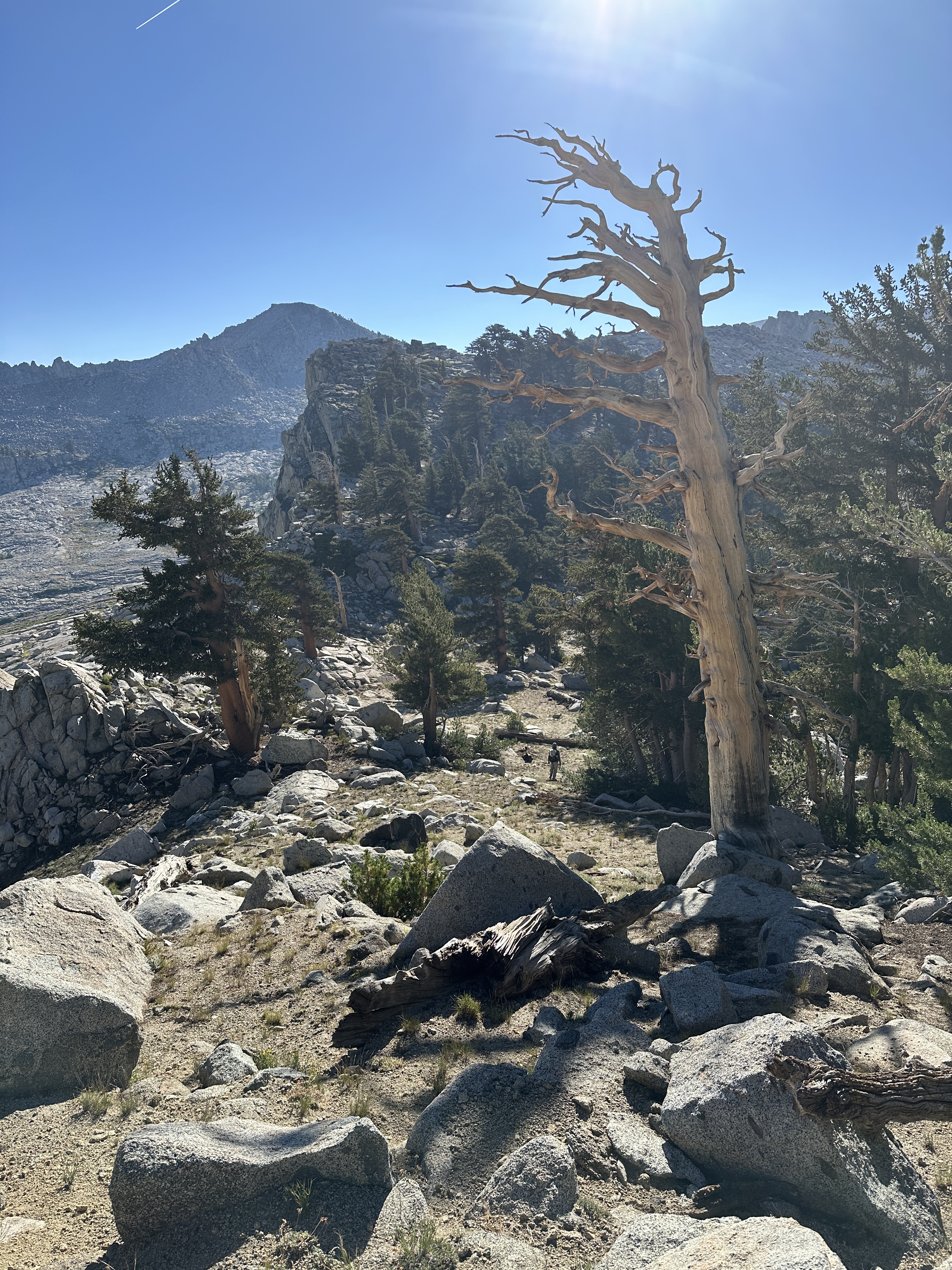
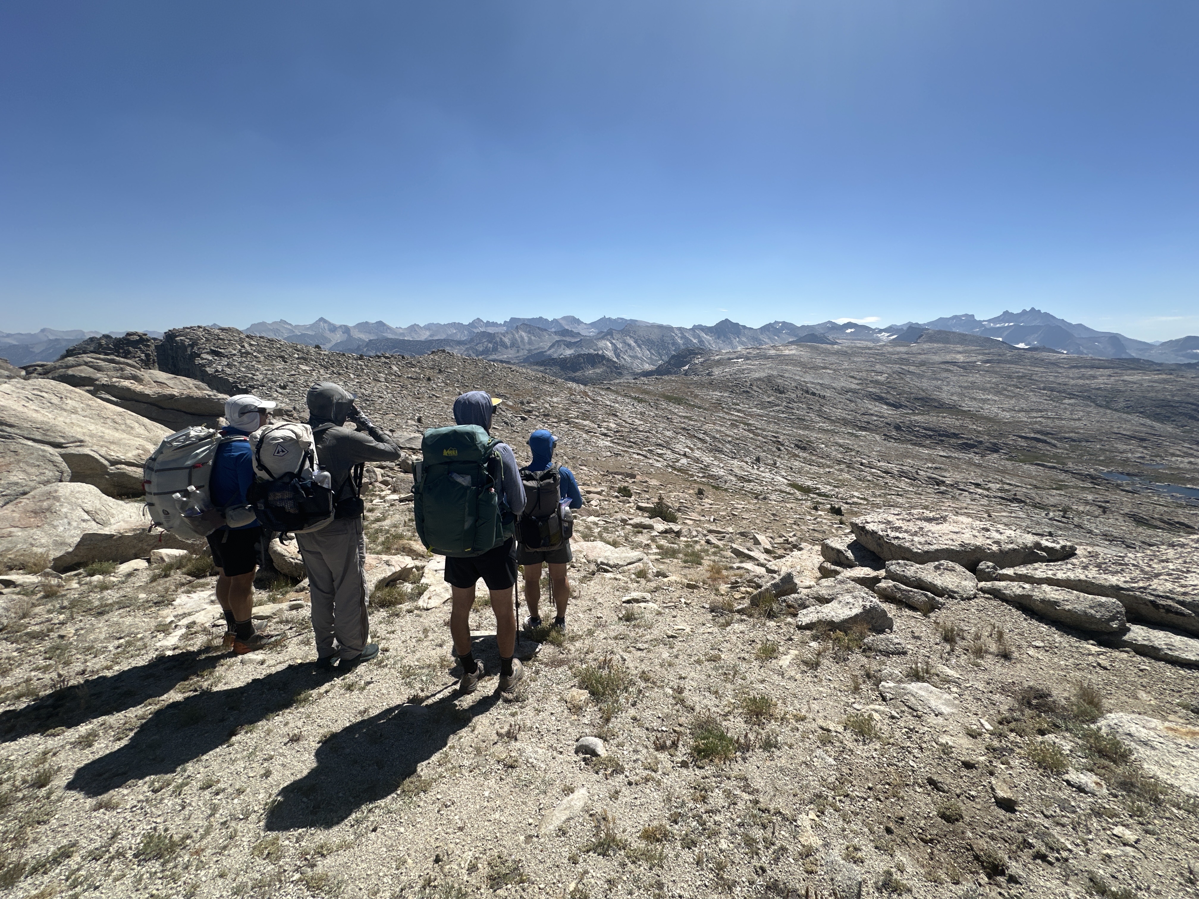
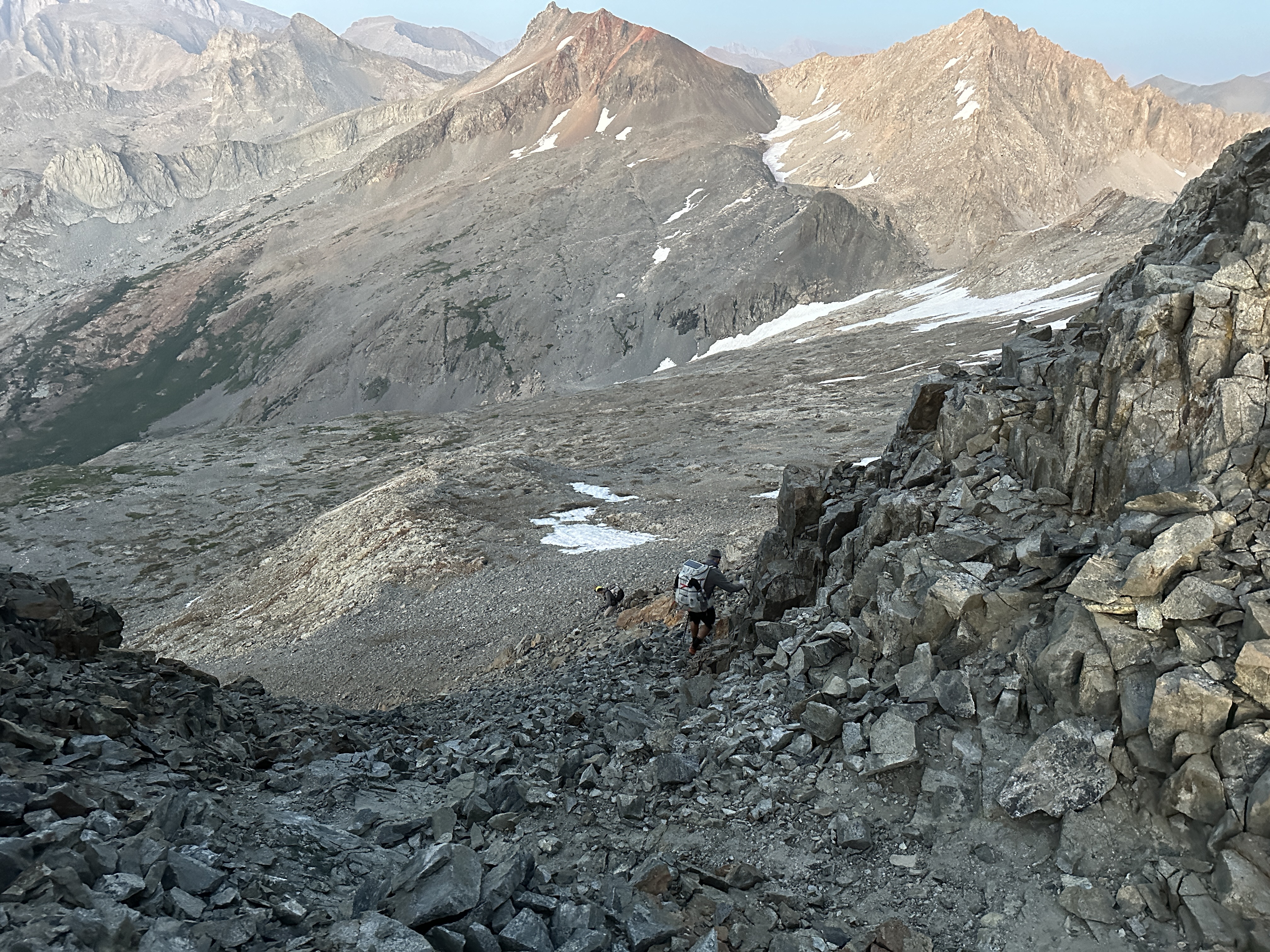
Today we’d be traversing the fabled “Tablelands” area of the high Sierra. It basically runs a ridge for about 3 miles or a little less, at or above 11,000′ elevation. It’s slightly undulating, with easy walking on large granite slabs the size of tables and larger. At least that’s how I’d describe it. One drawback is no water in this area. We were all set up to carry up to 3 liters if necessary. Getting into the tablelands involved some ups, downs and contours.
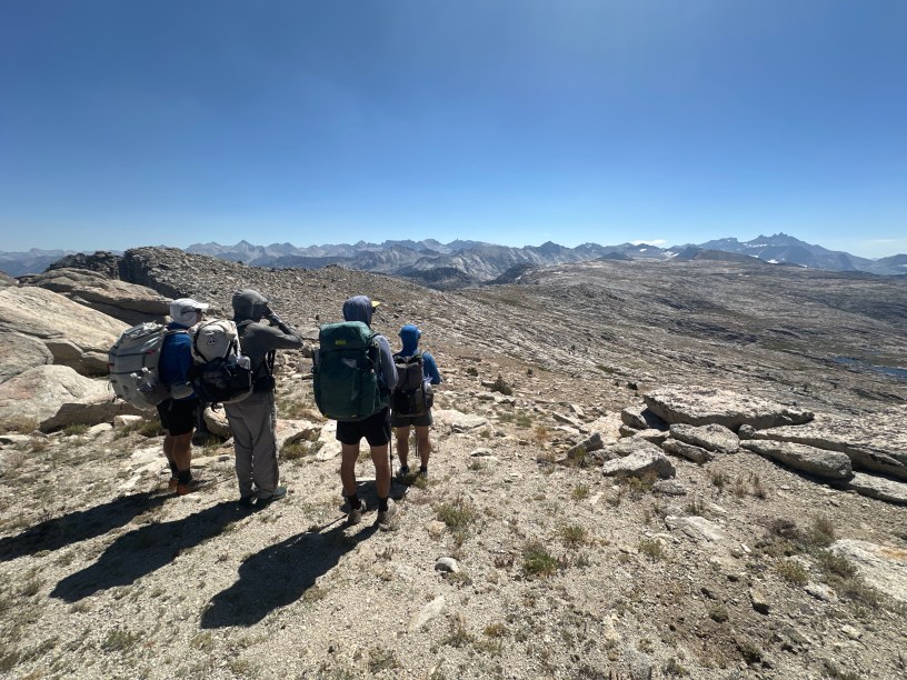
There was a group of two and a solo camper in the same area where we camped. A young man, Nick joined up with us as we approached the first pass. He hiked with us nearly the entire day so often times, you’ll see four in a photo, even though our group is only four.
Getting a view of the Tablelands

A layer of smoke in Kings Canyon


Snow patches like the on in this photo provided water runoff. Often times we carried 2+ liters which was a mistake and unnecessary, but running out is not okay either.


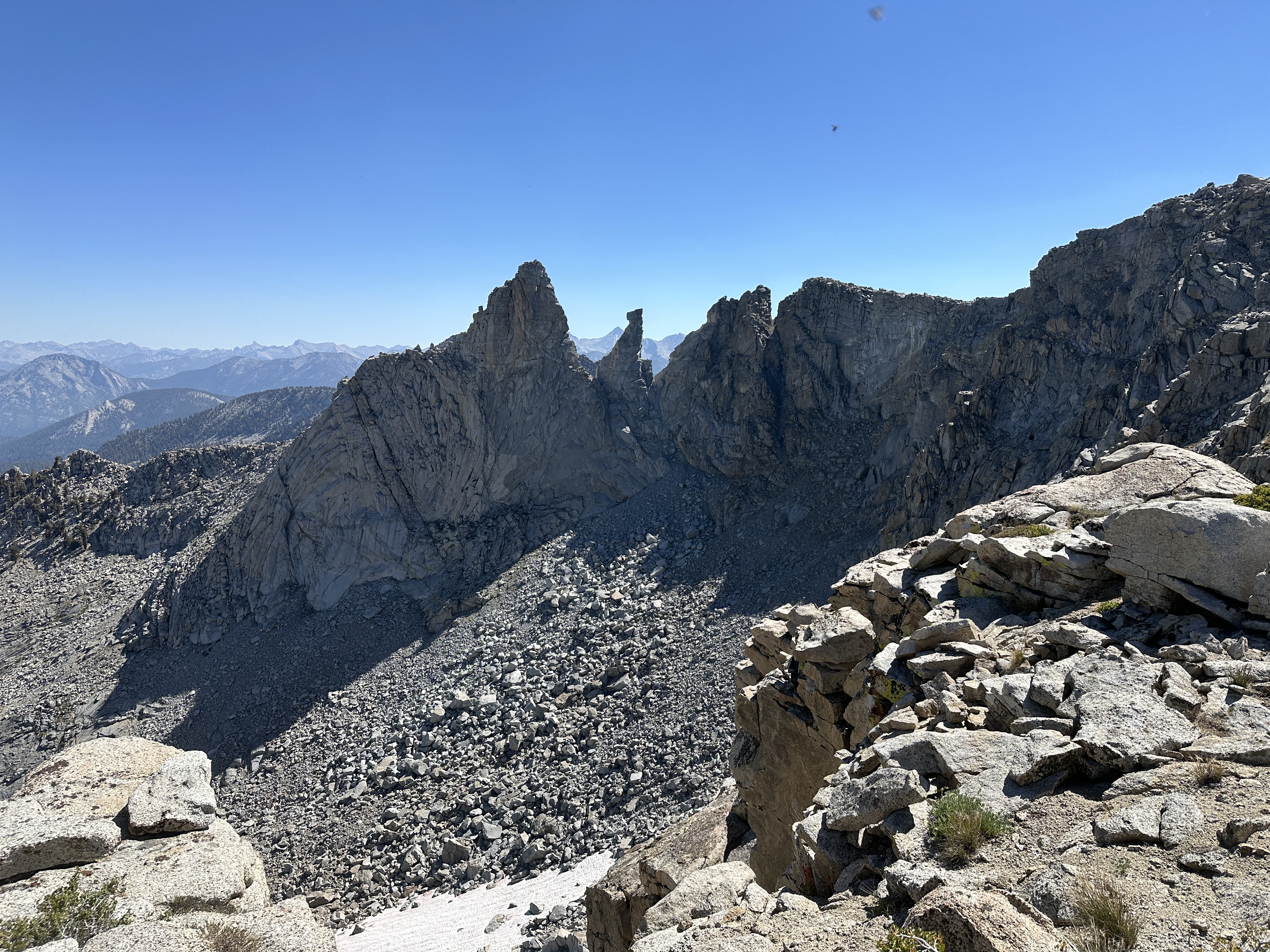
I couldn’t help but wonder if features like these ever get climbed
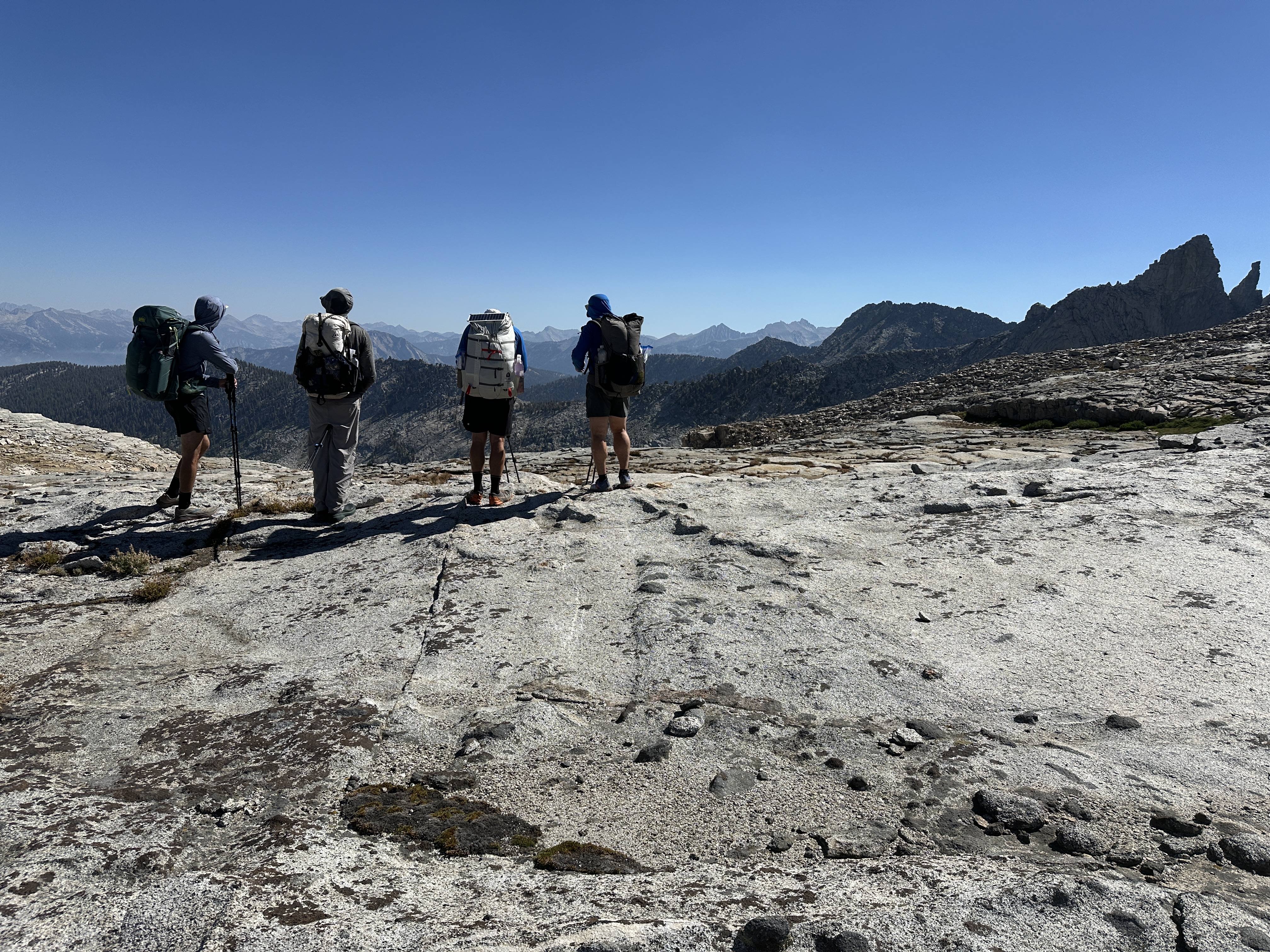
We stay on the ridge for the tablelands.
Endless slab walking
I wanted to stop and explore features like these, but on a thru hike of this nature it’s not possible. While I’m not a rock climber, I have climbed, and the recent climbing course has me looking at certain rock features differently.


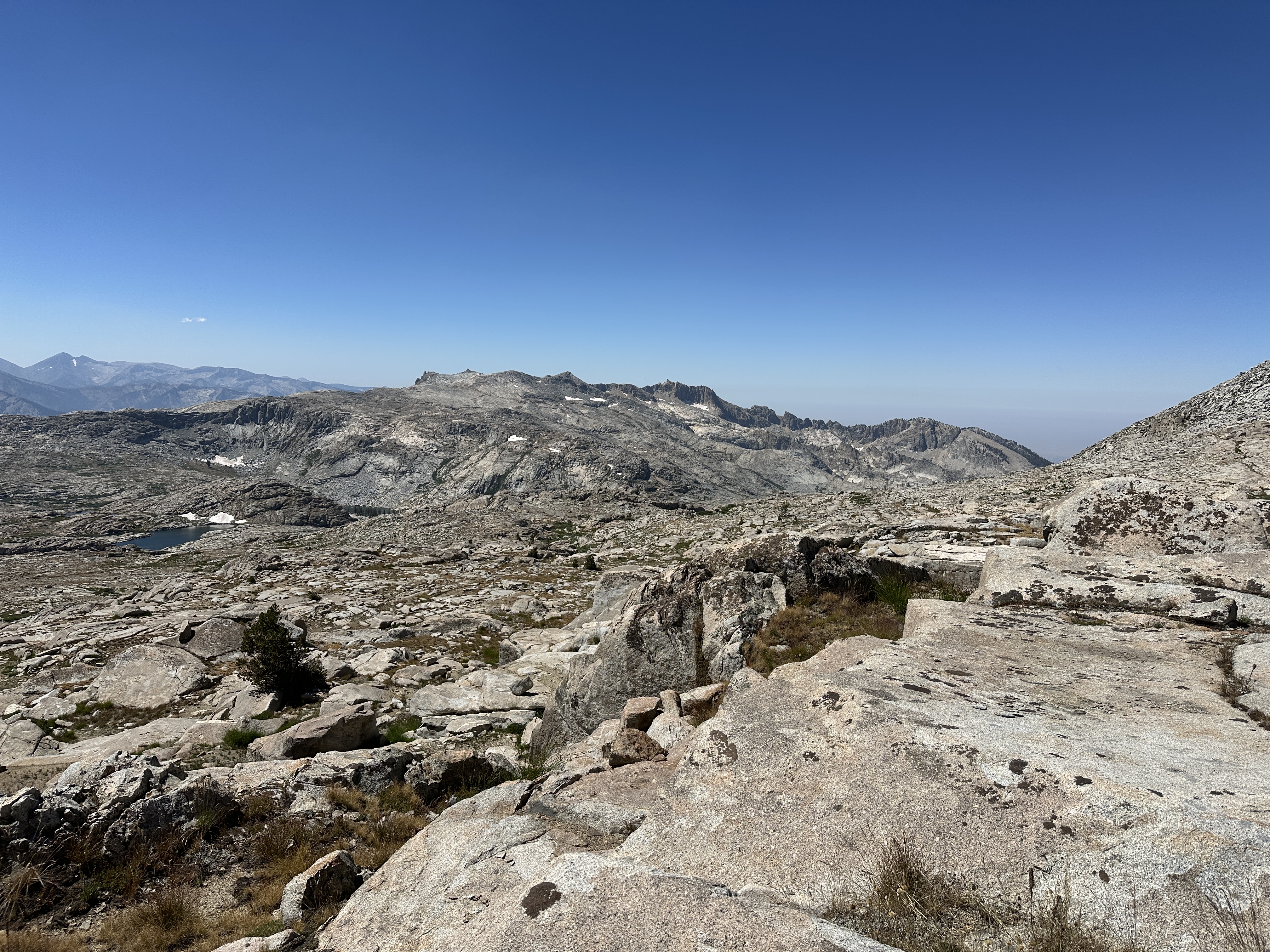
Plenty of water over there. I believe we figured this to be Moose Lake. Too far out of the way to explore.

Looking at Horn Col (left of the peak in center) with Lonely Lake Hidden in a basin below the snow patch. I’d usually arrive at a pass with route discussion having already taken place. D had done this section before from the opposite direction and did all the map work and knew well, the primary route. When it came to the micro routing, sometimes I agreed, other times, I had my own opinion. Mostly I never wanted to lose elevation unless absolutely necessary. If one looked closely at what might first seem like it would cliff out, you could see contour ledges. Originally there was talk of dropping all the way to the dark green grass (center bottom), but we did find a way to stay somewhat higher.

We arrived at Lonely Lake (below) a little after 2:30 as I recall. We departed about 3:00PM. I had made mention I didn’t think I had another 2-3 miles and 2 passes in my legs. Like the day before, I had been struggling on each uphill. I’d catch up to the group who would be a couple hundred yards ahead at times, get asked how I was feeling, and then need to cough out a bunch of gunk in order to speak. I’d just say I was fine. It was not worth complaining or stating I felt like shit because I had to at least get to a spot on our route where I could short cut if needed. In hindsight, I wish I had been much more clear about not wanting to proceed at this point. We were already ahead of schedule by starting one-half day early. Horn Col is the low spot that touches a tree top in the photo. Our route is off to the left.
We will never know for sure, but I feel like the decision to move at this point was a major contributing factor to what developed over the next 12-24 hours. In hindsight, there was unspoken peer pressure, ego, summit fever so to speak (aka, keep setting up to finish the full route), and halos. All those group traps we are quite aware of in the Mountaineers that get most often get addressed. I wish I’d spoken more forcefully, but I was also feeling a bit of an outsider, given the other three had all done big trips together. That might have been different had we held a real pre-trip meeting in the parking lot before setting off.

We found a ramp to avoid dropping elevation from where we stopped above the lake. We found a tarn to get water, which saved some energy. We contoured around to the far left, onto some ledges and a ramp of slab to the col.

We are now looking at a long contour to Copper Mine Pass. We will stay about 11,200′, just a ways under the snow fields to Copper Mine Pass. It’s low saddle right of the last snow field on the left. That’s a pass too, of sorts, but not passable.There would be plenty of water along this stretch, and we’d pass by potential, not ideal, campsites. By the time we neared where we’d need to ascent 800′, I was absolutely bonked and barely able to find energy to move. I had a small meltdown at one point with some strong words about my preference to not continue when we were at Lonely Lake.

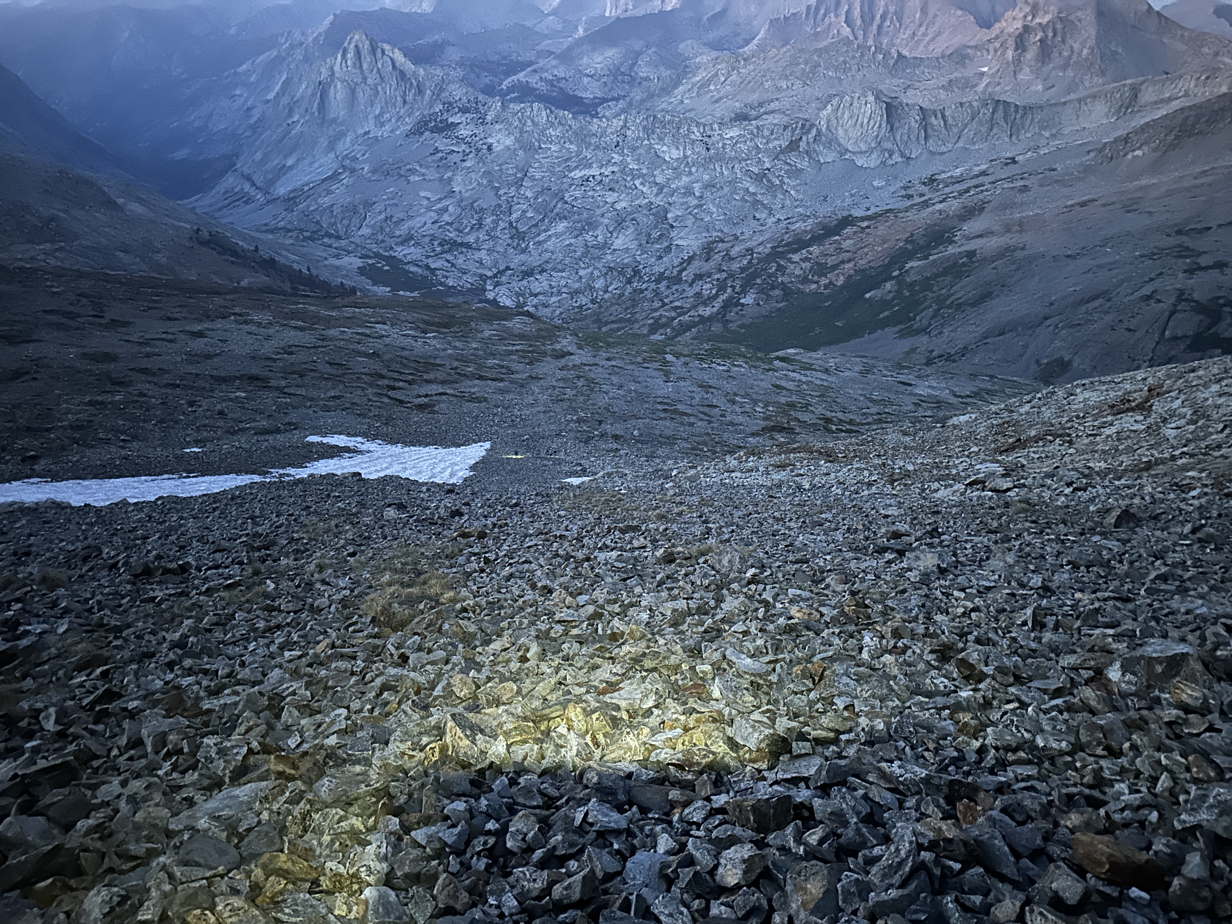
It’s 4PM, and we left Horn Col toward Cooper Mine Pass. We’d make the actual pass and head down teh other side a little after 8:00PM, after my struggles, and a consideration to emergency camp 150′ below the pass. I didn’t get a photo of this spot.

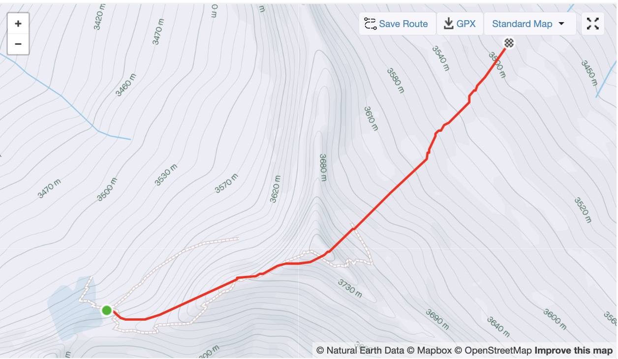
Below is a 0.6 mile track that took about 2.5 hours for me, from the Copper Mine site, over the pass, a quick summit, and then dropping to our camp at night. I’d arrive at 9:30PM, about 30-40 minutes after the rest of the group, having descended small talus by headlamp after a chossy chute. I’d take three to ten steps, stop, and catch my breathe. For the past few hours, my HR would rest in the high 90s, and jump to 110 as soon as I started moving. I had really shallow breathing. The combination of altitude, being undertrained, and very likey not consuming enough calories for the output, had me in a serious bonk. I literally just wanted to sit down and go to sleep. It took a lot of self-talk to keep moving. While not even close to same, but it felt what like what might go thru a climbers head/thoughts when they just stop while climbing or descending a mountain. Again, not the same but maybe a general context.

There was a summit at the pass but no time to open and sign the register. I thought I got a selfie with the register but clearly I missed pointing the camera correctly.

The chossy chute. This is familar ground for me. By the time I made to what appears more firm (about snow level), it was dark. This is the type of terrain where helmets would be advised, or traveling closer together. I had to stop moving for a bit in order to avoid sending rocks down on the team.
It’s darker than the photo depicts. One of the disadvantages of smart phone pics, is they always try to balance the brightness, make a perfect exposure. We would camp in a few flat spots roughly the center of the image below the horizon just a smidge.
When I got to camp, it was about 9:30. Dark, I was chilled and absolutely wasted. The group helped my located a flat spot. Offered to help me with gear but it’s not like it was that complicated and my mind was so fuzzy, I couldn’t have helped direct, just needed to get after it. I layed out the Zpacks duplex in ground cloth mode. blew up my pad, got out my quilt, tried to organize gear, put on some clothes and crawled into bed. There was already heavy dew collecting on my quilt and gear. I boiled water for my meal. Cup-soup, and spaghetti with meat. I made my soup and dumped my spaghetti into the pot, stirred and put it in a cozy to soak. I forgot about my cup-o-soup for a while, as I struggled to stay awake. I finally drank it. Then ate about ¼ to ⅓ of my pasta. I couldn’t eat it. I put the lid back on and put all food and smelly things in the bear can and sealed it up.
I then proceeded to shiver for about ½ the night it seemed. Not bad, more like a dog shivers, where it comes in waves. I didn’t want to move much and cause my quilt to soak out from the dew. I finally added a layer to my top and eventually stopped shivering. I actually did get some sleep. The image below is my cold spaghetti that I forcefully choked down cold. In these conditions calories are important, and it’s not like one has a big pantry to draw from. I have enough food to get me to the resupply, with only a little buffer.

Stats
We traveled abotu 12.5 miles, just shy of 5,000′ gain, and for me, it was 14.5 hours. I’ve done 16+ hour days before. But not at higher altitudes and sick. I’m still not sure at this point of the trip if I actually have a bug, or if it’s smoke related or some combination of issues.

